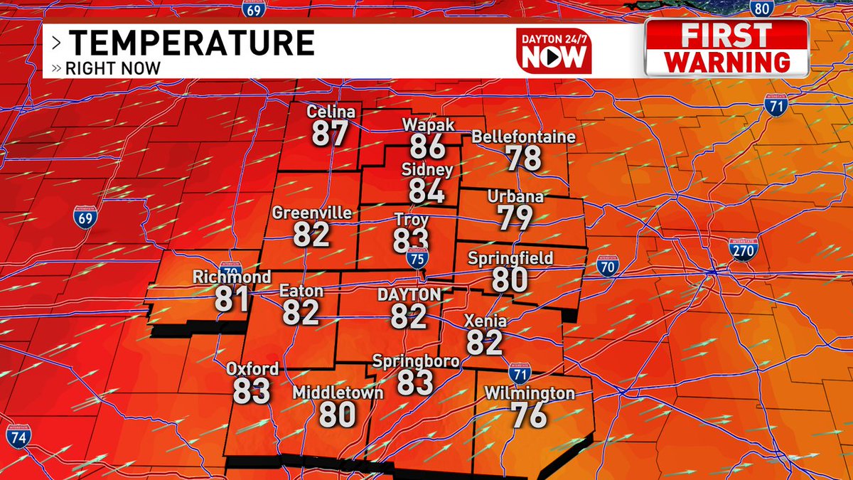
[7:00 AM] We'll be monitoring warm temperatures over the weekend, but the primary concern will be the potential for severe thunderstorms on Sunday. A cold front moves through during the afternoon with thunderstorms developing over the area, moving southeast through the evening.
We want to hear from you - we're developing a long-term plan to better align our programs & facilities with the American Disabilities Act.
Join us for an ADA Public Input Session Tues., 6/28, 5–8P at the Employment Opportunity Center in Westown Shopping Center, 4303 W. Third St.
A Heat Advisory has been issued for the areas highlighted in orange. Heat index values over 100 degrees are expected. Limit your time outdoors. Wear loose fitting, light colored clothing and stay hydrated. We will continue to update you on Dayton 24/7 Now.
Scattered thunderstorms are expected to develop Wednesday afternoon ahead of a front moving through the Ohio Valley. A few strong to severe storms will be possible from mid afternoon into early evening. Damaging wind will be the primary threat.
Welcome to #LightningSafetyAwarenessWeek 🌩️
Today’s tip: There is no safe place outside when thunderstorms are in the area.
More tips: https://t.co/bwc1Qm7nWh





![NWSILN's tweet photo. [7:00 AM] We'll be monitoring warm temperatures over the weekend, but the primary concern will be the potential for severe thunderstorms on Sunday. A cold front moves through during the afternoon with thunderstorms developing over the area, moving southeast through the evening. https://t.co/8Pragq7Jgp](https://pbs.twimg.com/media/FWF98uDXwAAIRyU.jpg)