@AdamSkinnerWX The 00Z HRRR run has an STP of 7.5 between Regina and Brandon @ 6 pm CDT. There was even a brief STP 10 on one run earlier today. It will be interesting to see VTP in #IWPRO later today. These areas need to be WEATHER AWARE TODAY. This is not to be taken lightly
Environment Canada has issued a level 4/4 EXTREME RISK of severe thunderstorms for the Southern Saskatchewan and Manitoba border where powerful supercells with tornadoes are expected this afternoon.
This is the first extreme risk in 8 years! Many US chasers are on this setup to chase these storms. Stay tuned for updates!
Team Dominator is heading to CANADA for a #tornado outbreak this weekend!
We will be targeting southeastern Saskatchewan on Saturday and southern Manitoba on Sunday.
Meanwhile, the Dominator 3 is heading to the Dakotas with a new motor for the Tuesday-Thursday #tornado event next week. This is when our science will peak
#stormchasing
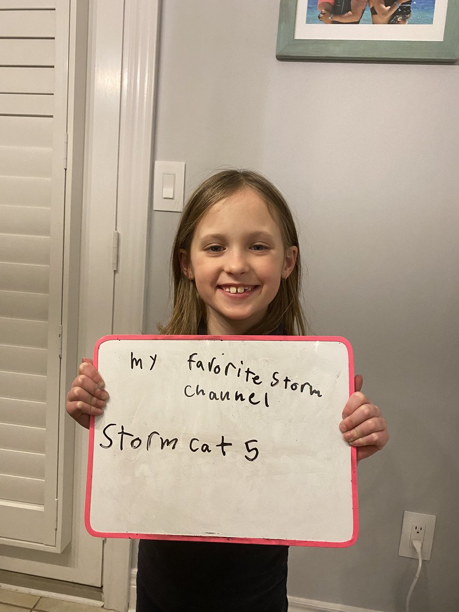
@StormCat5_@ChasingWConnor@brandonwxOK@Emokwx For sure brother. We appreciate all you do … I am a meteorologist by education (never used my degree) so I appreciate everything, and my daughter seems to be really taking a liking to weather and loves learning about it from you. So thank you!
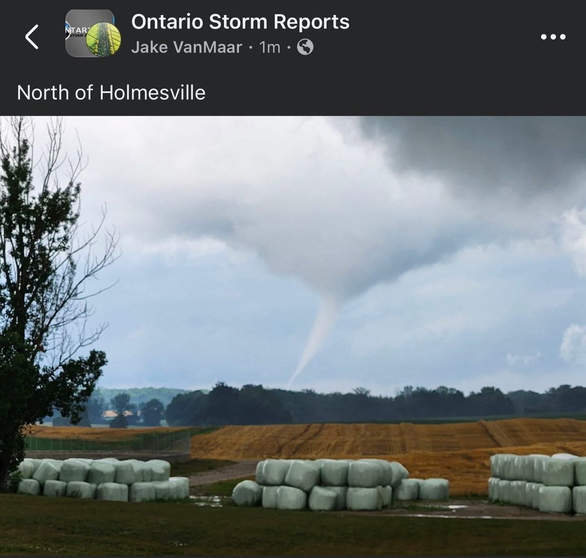
#ONStorm#ONwx Another view of the earlier reported tornado, this time north of Holmesville (between Goderich and Clinton).
Source: https://t.co/H58hIy7NtA
- Brennen
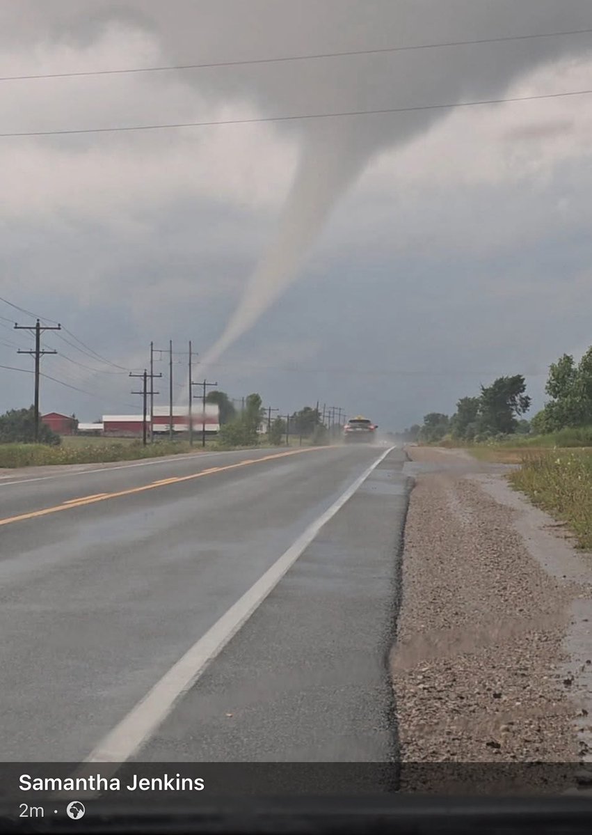
Another view showing the funnel reaching far to the ground, west of Holmesville earlier this hour. #onwx#onstorm
In the comments of:
https://t.co/WRZAeUkZxK