Breaking: The June ECMWF update has trended *even stronger* with this year's El Niño.
Almost every scenario now reaches past +3˚C, with a cluster of high-end scenarios in excess of +4˚C.
This outlook now depicts the strongest El Niño on record.
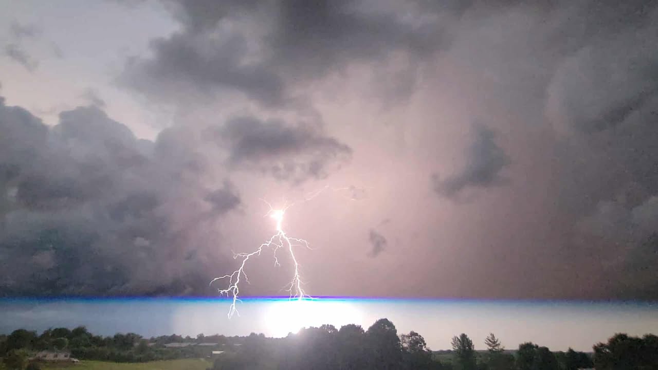
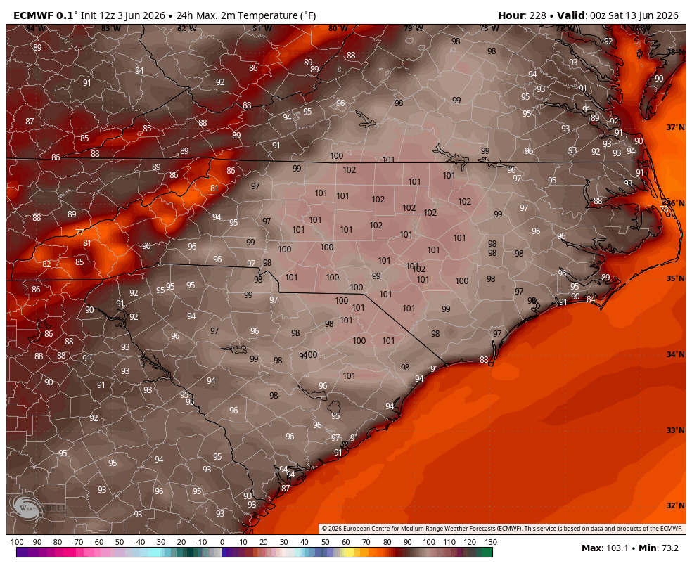
-A *serious* heat wave is looking more likely by next weekend.
-The first 90s for Western North Carolina
-The first 100s for the Piedmont & Upstate
@WLOS_13#heatwave#southeast
-Here’s your Sherman Cast for Saturday 🐶
-Be sure to wear lots of sunscreen & stay hydrated
-It’s going to be toasty out there! 🥵
@WLOS_13#wncwx#avlwx#ncwx
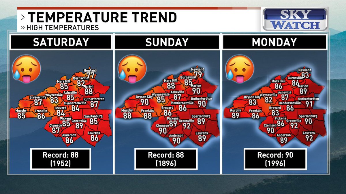
-Our next heat wave will start this weekend.
-Highs are expected to hit near-record territory.
-Some will be luckier than others, getting more clouds.
-Dew points aren't expected to be outrageous, but feels like temperatures could push over 90 in some mtn. valleys.
@WLOS_13