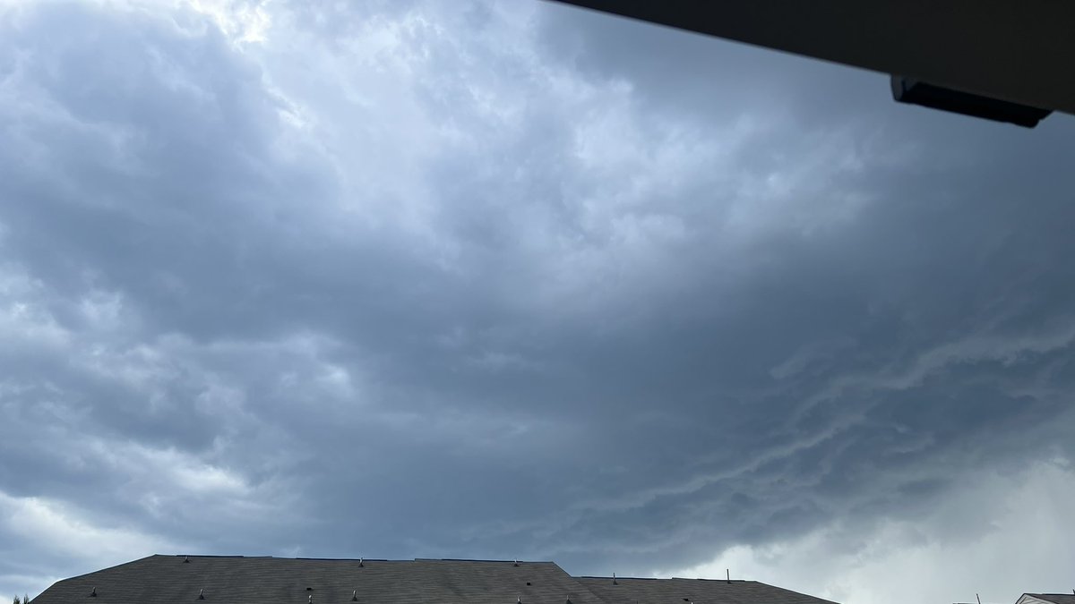
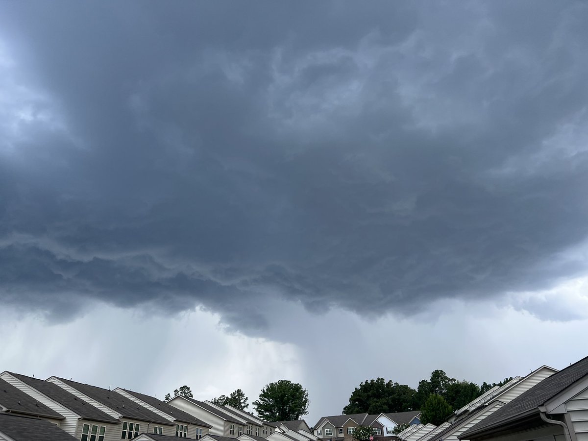
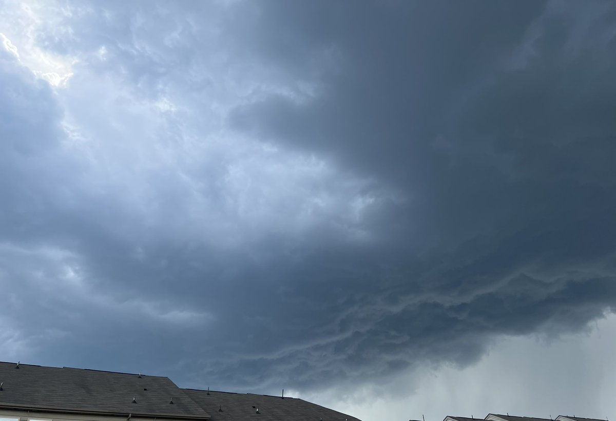
SPC Day 2: A Slight Risk covers northeastern South Carolina and most of North Carolina tomorrow. Scattered severe storms are possible. Slight: damaging wind up to 15% and large hail up to 5%. Marginal: damaging wind up to 15% and large hail up to 5%.
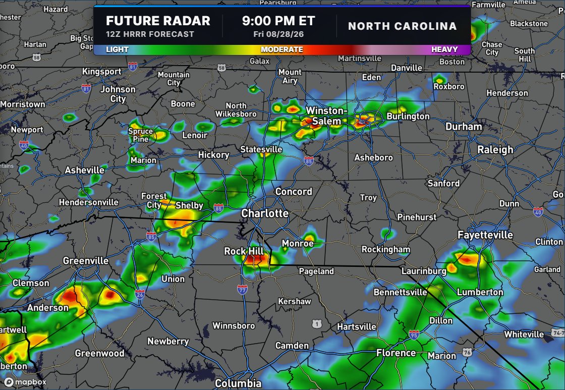
Tonight's Storm will be scattered, but it will be around 6- 10 p.m. So lightning risks the high school football game, and the Panthers' preseason game is possible. Heavy downpours in these cells, just like last night. #cltwx#ncwx#scwx#wxbrad
10 pm 8/27/26: Crazy 1-hour rainfall totals in Parts of the Lancaster Panhandle, almost 4" in one hour, which is a 200-year recurrence event. #scwx#cltwx#wxbrad
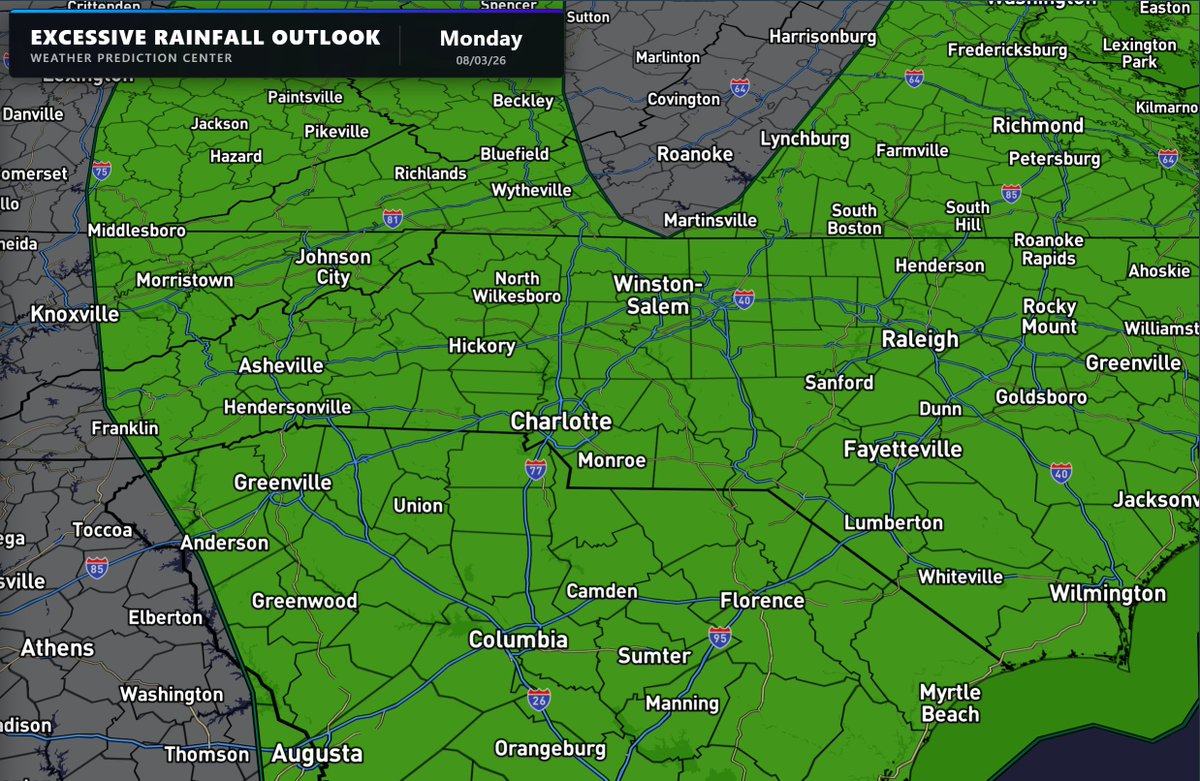
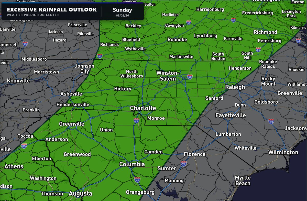
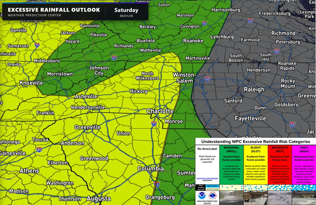
Scattered downpours over the next 3 days could lead to flash flooding. We are under low to medium risk for flooding. Which means localized flood risk, but not everywhere. #cltwx#ncwx#scwx#wcnc
Tuesday severe weather vlog 7:30 am 7/28/2026: Elevated risk for severe storms, including supercells with winds, hail, and isolated tornadoes. Stay Weather Aware Today. #cltwx#ncwx#scwx#wcnc#wxbrad
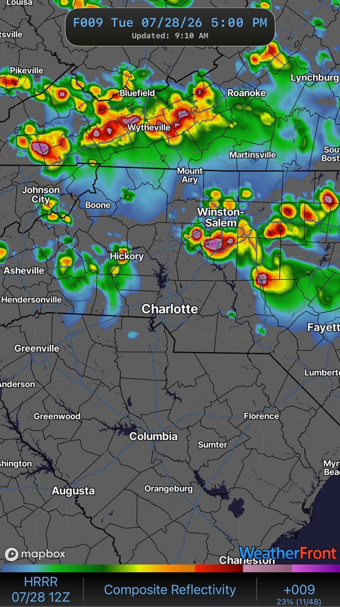
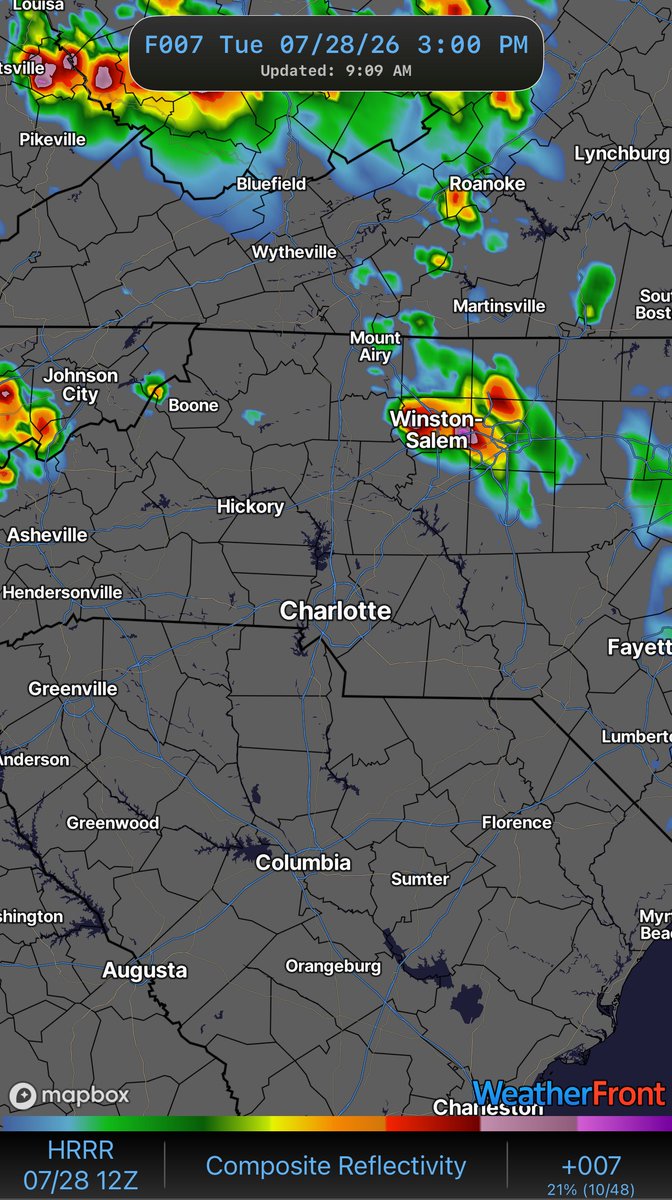
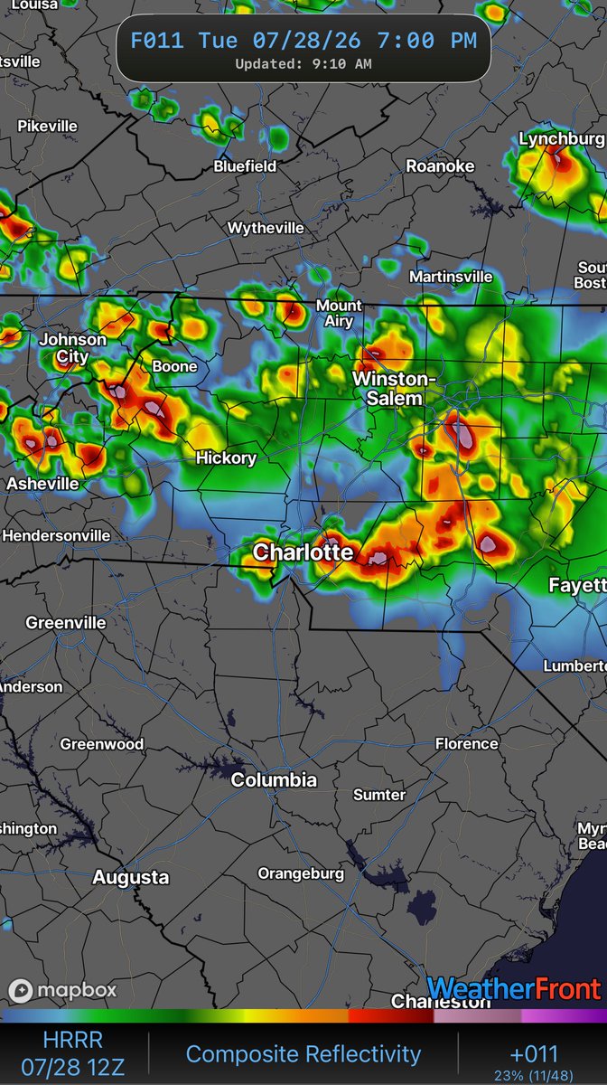
Here’s a look at the futurecast at 3, 5 and 7pm. The look of the future radar shows supercells. These are capable of producing large hail, for damaging winds. Moving from northwest to southeast. Stay Weather Aware. #cltwx#ncwx#scwx#wcnc#wxbrad
Big wildcard overnight for tomorrow's storms and weather. Do these storms in Northern Michigan right now move due south and arrive tomorrow morning? These could deter severe risk or just delay it until late. This is a trend to watch overnight. #cltwx#ncwx#scwx#wcnc#wxbrad
Strong to severe storms are possible late tonight and Wednesday, but mainly north of Charlotte. We will have to watch to see if a larger complex of storms forms today and makes a run at us. Then the front looks to stall tomorrow into early Thursday. Still some major uncertainty on how much rain or storms we will see. There's a chance this stays north nd northeast of us but close enough to stay aware of into Thursday. #cltwx #ncwx #scwx #wcnc
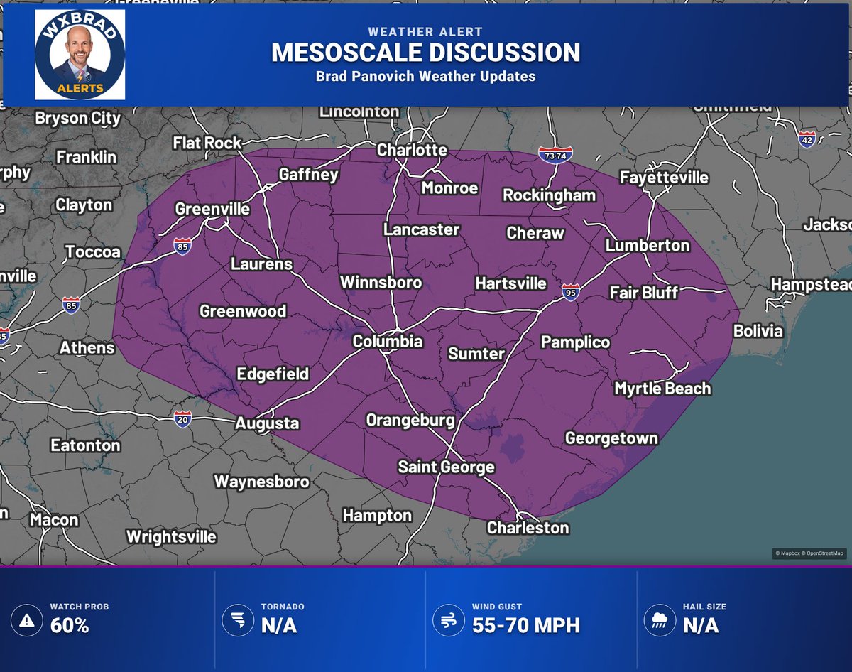
Mesoscale Discussion — Much of SC into portions of southern NC & far eastern GA. Scattered thunderstorms will evolve ESE this afternoon/evening, with threat for damaging wind gusts across parts of the Carolina Piedmont and Coastal Plain.
@wxbrad Is anyone else having issues with their WCNC app? I have uninstalled and reinstalled and restarted my phone. Everytime I click on radar it closes out.
Weather Alert after 4PM:
Chance for severe storms today is a big window since storms in the early window (4-8PM) are more likely around the I-40 corridor and the Mountains and Foothills with an isolated storm possible near Charlotte. Then these shift closer to Charlotte later on