Summer events are here!
Emergency managers and public safety teams — do you know how weather intersects with your event and safety plans?
Baron brings weather and your assets together to support faster, more informed decisions. Sign up for a demo here: https://t.co/Fi0xxkf5h0
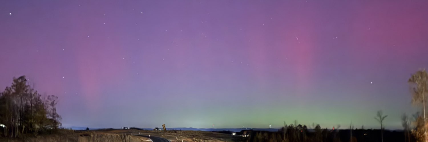
Summertime is back in the Blue Ridge Mountains of North Carolina! The mountains appear blue because specific oak and poplar trees here emit a chemical called isoprene to protect them against excessive heat.
Photo Credit: @AshevillePictu1#ncwx
It only takes one. It's a phrase we often hear about during the season, but whether you're at the coast or a bit further inland, tropical systems can impact you. Now is the time to make sure you know your evacuation zone (even if you're just vacationing at the coast), make an emergency plan and kit, and discuss that plan with your family.
🌀 Hurricane season starts today, and preparation makes all the difference. Whether you're an emergency manager, a business owner, or just someone who wants to stay informed, having the right resources ahead of time is everything.
We've put together our hurricane insights, alerting tools, and expert resources all in one place: https://t.co/nKrZe6v62s
Bookmark it, share it, and start the season prepared.
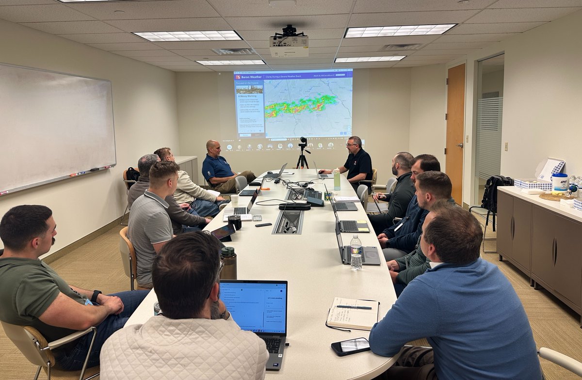
The @TDEM Conference is here, and so are we at Booth #203!
Having the right weather tools is only part of the equation — getting them is often the hard part. We break down that gap in our latest article and what it takes to move from reactive to proactive: https://t.co/Gkwcs0QWo8
Stop by to see Baron Weather in action and let's talk about how we can help your team stay ahead of the storm — before the next event puts your systems to the test.
- Can AI weather models outperform traditional forecasting systems?
- Will AI replace meteorologists?
- Why do AI weather models run so much faster than traditional systems?
These are some of the biggest questions shaping the future of meteorology right now.
Our latest blog breaks down what AI-driven forecasting can reliably deliver today, where it still faces challenges, and what this new era of forecasting means for operational decision-making and the future of weather intelligence.
Read it here: https://t.co/W9rtQ9M3Jj
Looking forward to seeing everyone at the @TheConferenceTX next week! Stop by booth #203 to chat with Baron Weather to see how we can best support you in preparing and responding to high impact weather events.
🚀It's almost showtime🚀
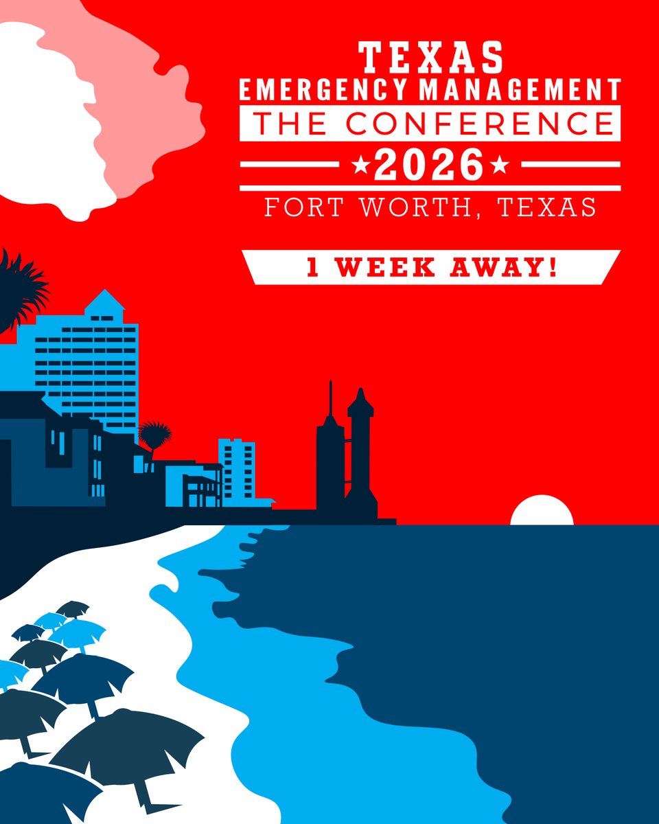
Just ONE WEEK until #TheConferenceTX!
Gear up for 4 days of networking, learning and collaboration with emergency management professionals from across Texas and the nation.
There's still time if you're not registered: https://t.co/OmtaW5mmQo
Hurricane season is almost here, and storm impacts can vary significantly across short distances.
Many data sources only show conditions at the nearest airport. Baron delivers high-resolution, continuously updated data across your entire area — so you can see what’s happening everywhere, not just at one location.
Want this level of visibility for your operations this hurricane season? Set up a demo: https://t.co/Xi9PVeBtE9
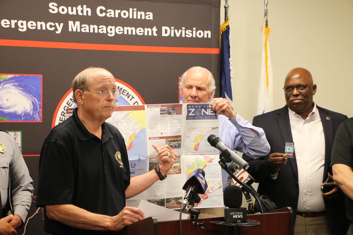
Know your zone before hurricane season.
Whether you live on the South Carolina coast or you’re visiting, the Know Your Zone interactive map helps you identify your hurricane evacuation zones. https://t.co/l6FHQbWR3U
#HurricanePrepMonth#scpreps#KnowYourZone
What if you could see exactly which roads, shelters, and critical infrastructure are at risk before a storm makes landfall?
With weather intelligence layered directly into ArcGIS, you can — plus automated alerting. Organizations are using live weather data alongside their own operational assets to make faster, more confident decisions when it matters most.
We covered all of this in our webinar with @Esri last week. Watch it here: https://t.co/vJ3y6qet5l
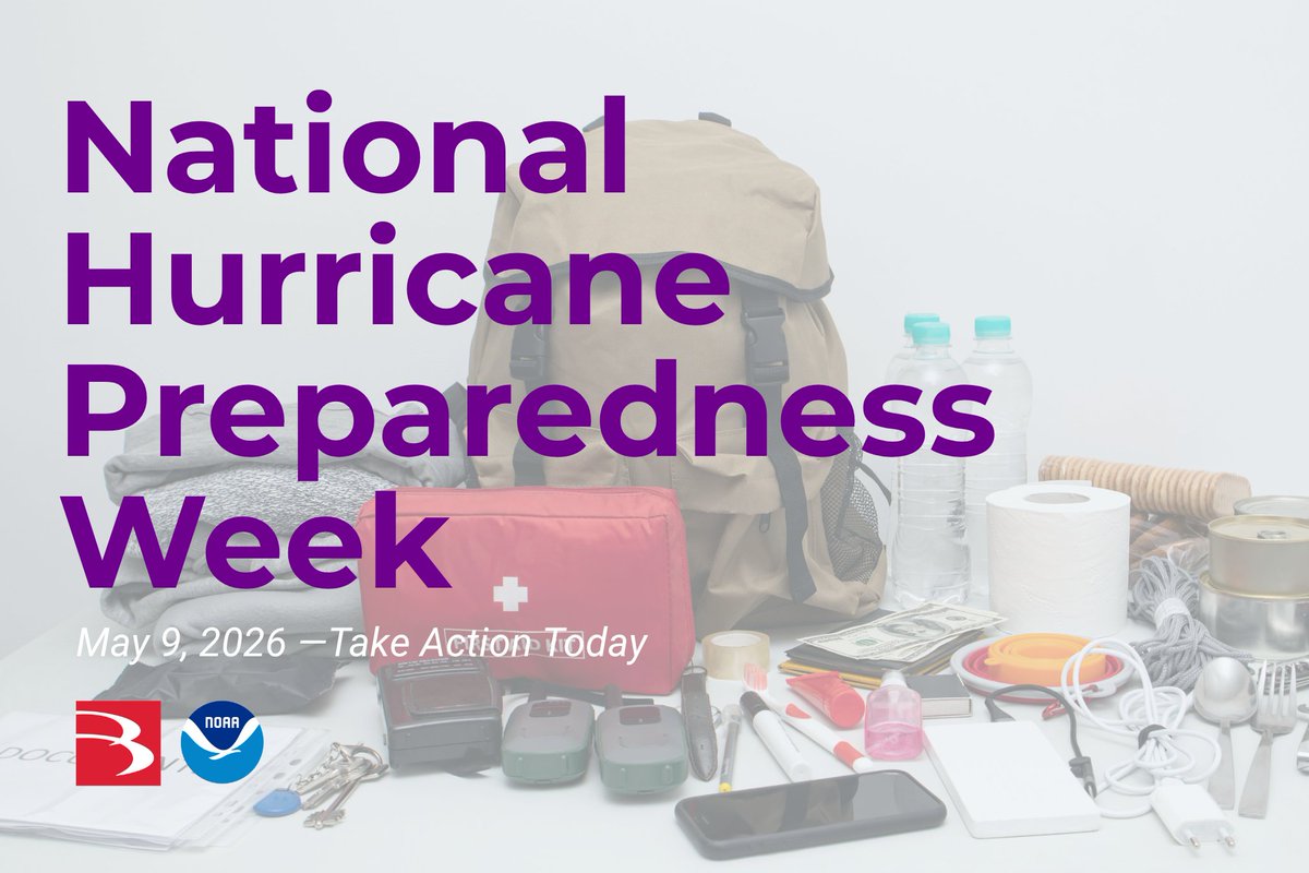
The final day of #HurricanePrepWeek comes with the most direct message: take action today. Not when a storm is named.
Hurricane season begins June 1. The organizations and communities that are ready aren't the ones who reacted, they're the ones who prepared before the season began.
Don't wait for a storm to find out if you're ready, talk to an expert at Baron today: https://t.co/qBbXFBlryU
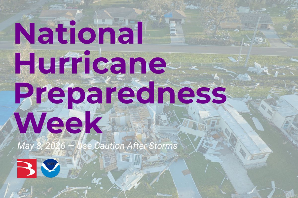
Day 6 of #HurricanePrepWeek: Use Caution After Storms.
The storm passing is not the same as the hazards ending. Floodwaters, downed infrastructure, and road damage continue to pose a serious risk long after landfall, and the data needed for recovery, documentation, and response doesn't stop being relevant either.
See how Baron's solutions support post-event analysis and recovery efforts: https://t.co/tXsjuKhSat
Not every team has a meteorologist — and they shouldn’t have to.
Baron’s ArcGIS Weather Layers are built by meteorologists and designed for real-world decisions.
How are organizations actually using this inside ArcGIS? Take a look: https://t.co/8swXgRSMtL
🚨Final call, our hurricane season webinar with @Esri is happening tomorrow!
Join Dan Gallagher, @JessStumpf, and Matt Adams to see how hurricane and flood intelligence can be combined with operational data in ArcGIS to reveal who and what is at risk before conditions deteriorate.
You’ll also see how ArcGIS Velocity, Watch Center, and EM Ops support real-time monitoring and automated alerts as storms evolve.
📅 May 6 | 8 AM PDT
🔗 Reserve your spot: https://t.co/WVZMJpqxZW
Day 3 of #HurricanePrepWeek: Understand Forecast Information.
The cone of uncertainty shows the probable track of a storm's center — not where impacts will be worst. Communities outside the cone are not in the clear. Understanding the forecast and communicating it clearly can be the difference between action and apathy.
See how the right tools help turn complex forecast data into something people can actually act on: https://t.co/sfgZI13Eat
On-site last week at @Esri's Philly office with their SLG and commercial teams, working through real-world workflows and how weather data supports the decisions organizations are making every day.
It’s all about helping partners and teams get the right outcomes, especially when the weather is at its worst.
Thank you to Jim Higgins for having us out! Always great to connect in person and collaborate on how these tools are being used in practice.
Day 2 of #HurricanePrepWeek: Prepare Before Hurricane Season.
The window to prepare closes faster than most people expect. Whether you're stocking supplies at home or configuring systems at the operational level — now is the time.
See what pre-season preparation really looks like in practice: https://t.co/JHB78RKENO
It's National Hurricane Preparedness Week, and it starts with the most important question: do you actually know your risk?
Hurricanes aren't just a coastal problem. Wind, flooding, and storm surge can impact communities hundreds of miles inland — and knowing your specific thresholds before a storm forms is what separates a plan from a reaction.
This week we're breaking down each of NOAA's preparedness themes and what they look like in practice. Start here: https://t.co/tQZNf6nwzJ
What works for public weather forecasts doesn’t always work for operational GIS.
Our latest blog explains why free weather data isn’t always built for the kinds of decisions GIS teams, infrastructure managers, and public safety leaders need to make every day.
Read it here: https://t.co/gpfxG8En4Q
One week to go!
Join Dan Gallagher and @JessStumpf, along with Matt Adams from @Esri, for a live webinar on preparing for hurricane season using weather + GIS together inside ArcGIS.
Using real examples from Hurricane Helene and the Texas Fourth of July floods, you’ll see how tropical forecasts, rainfall, wind, and flood intelligence combine with your operational layers to quickly reveal who and what is at risk, and how to turn that insight into action.
Feel free to share with colleagues or cross-department teams who may benefit!
📅 May 6 | 11 AM ET
🔗 Register here: https://t.co/BWsr48cYOb