Your Wednesday 10/28 weather in 60 seconds featuring our chief meteorologist Joel Fritsma, with special appearance from Hurricane, one of MSC's most-recognized cats! Spoiler alert, record high temperatures ARE in play today.
Be sure to drop a comment and like to support our cause, and of course if you'd like to start your day out with more of these short videos, your feedback is always appreciated via one of these ways. Thank you!
#michiganweather
How strong was the strongest tornado to pass through YOUR Michigan county?
We’re going all the way back to 1950 for this one! This map looks at the highest-rated tornado associated with each of Michigan’s 83 counties, using historical tornado records and available 2026 data.
Michigan has only recorded TWO F5 tornadoes during that time! The first was the devastating Flint-Beecher tornado on June 8, 1953, followed by the Hudsonville-Standale tornado on April 3, 1956. Both crossed county lines, which is why you’ll see more than two counties shaded pink!
And here’s something pretty remarkable. Michigan hasn’t recorded another F5 or EF5 tornado in over 70 years!
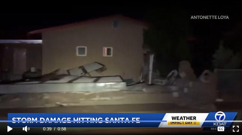
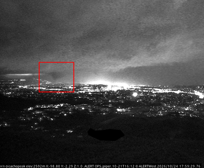
It seems that a tornado occurred in Santa Fe, New Mexico this evening around 7 PM MDT. A supercell moved through the area with a distinct velocity couplet, while a webcam image captured a distinct funnel cloud looming over the city. Structural damage has also been reported in the area.
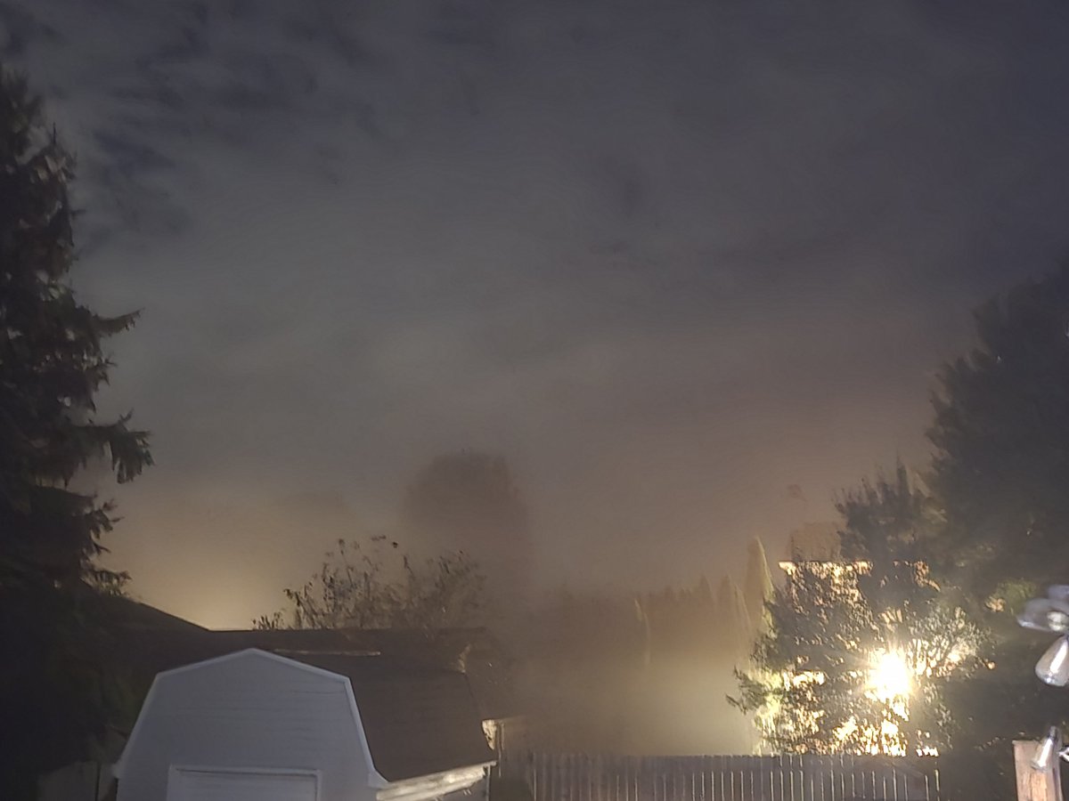
Hazmat Situation: A hazardous materials release is ongoing in downtown Toledo due to a chemical leak via WTOL11. Extreme southern Monroe county, please stay on alert and shelter-in-place if you smell chemicals. Wind is currently calm. 12:46 am 10/21/26.
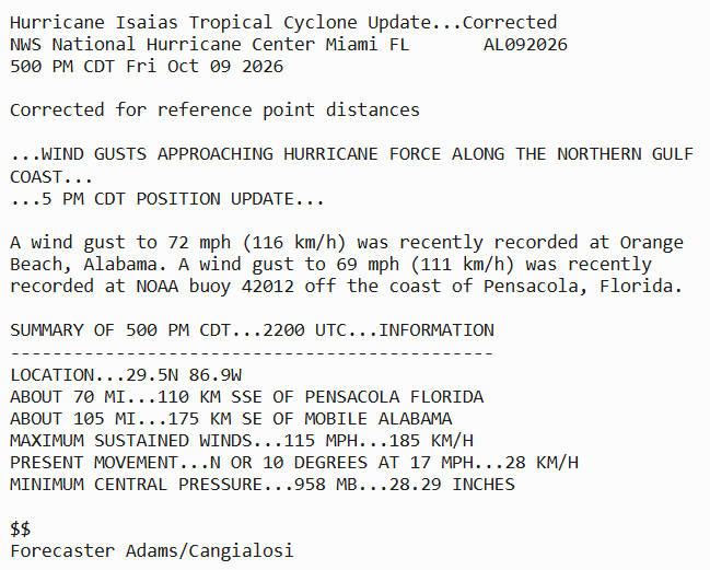
5 PM CDT Friday Oct 9 Update: Wind gusts approaching hurricane force along the Northern Gulf Coast. Follow the latest on #Isaias at https://t.co/GrztW6mQJV
@BrianEntin Absolutely not. Her little self dehydrate plot worked so far and now she's getting way more time to keep breathing and possibly avoid execution. Shackles are necessary.
At 4:13 am EDT 9/15/26, widespread rainfall continues across northern lower Michigan as scheduled. With time, this line continues to drag southeast, while much of the rainfall slides due east. Heavier rainfall has occurred already over the past couple of hours across northwestern lower, with radar estimated rainfall over 1" in locations closer to Lake Michigan. Frequent thunder is also being reported.
A gust front producing some heavier winds ahead of the line cannot be ruled out, but severe weather is not anticipated this morning. As mentioned, this line of showers will continue to fizzle as the day goes on, but redevelop in the evening as a separate batch of isolated to scattered thunderstorms along and south of I-94.
Snapshot of radar via our free Michigan Storm Chasers app, with user storm reports overlayed and storm motion.
DID YOU KNOW...We're basically everywhere?
Watching. Waiting. Listening. And probably talking about the weather.
Whether you're on Facebook, YouTube, Threads, Instagram, TikTok, Twitch, or X, you can find Michigan Storm Chasers there too!
Follow along for Michigan weather updates, forecasts, live coverage, and plenty more.
👇️ Find us everywhere:
https://t.co/dab79Vswqx
https://t.co/Q6v4GCwoKp
https://t.co/mS2yD7tb8m
https://t.co/10G03Bxd5u
https://t.co/zrFfGDqlPk
https://t.co/2QgcGTXzzs
https://t.co/hJt5z1Un7w
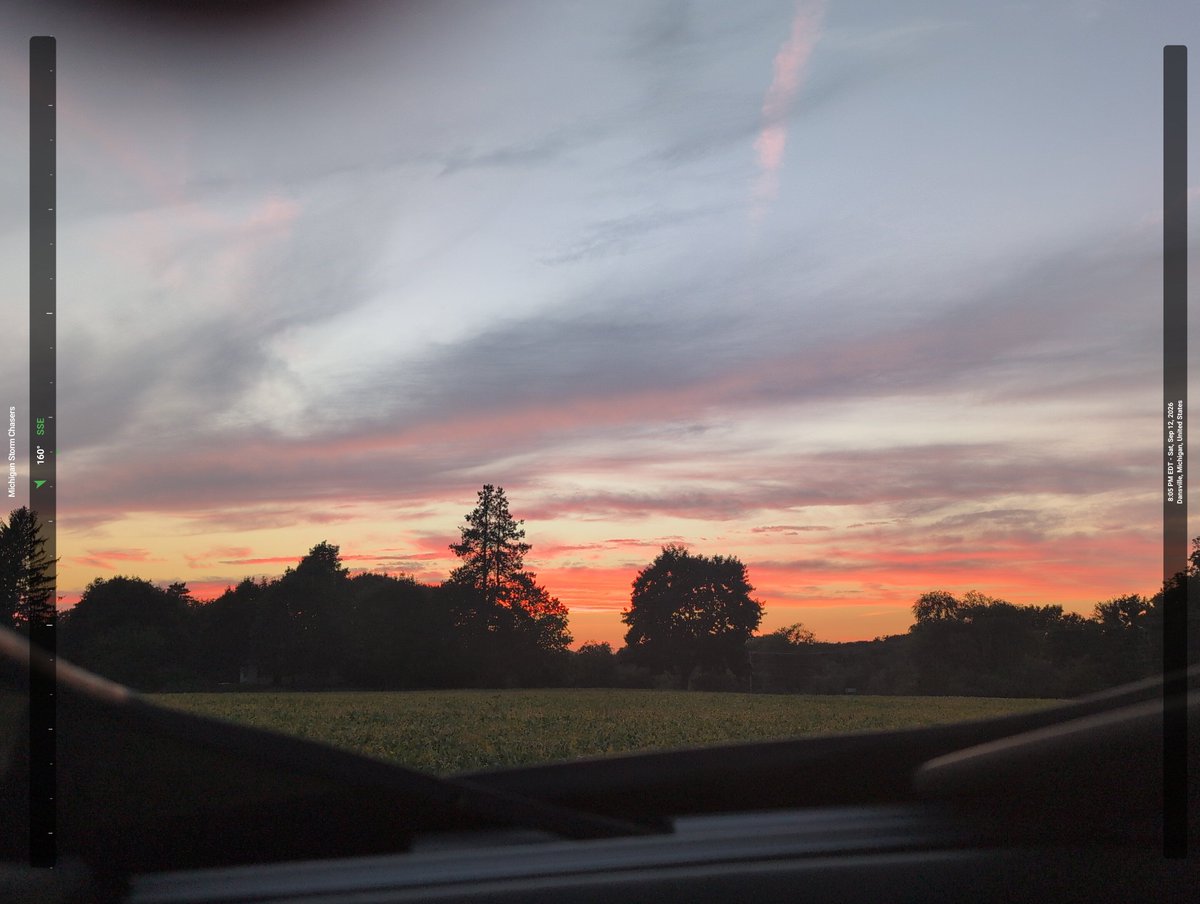
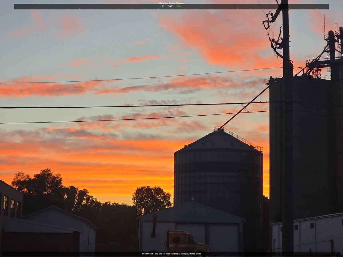
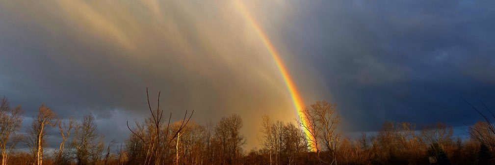
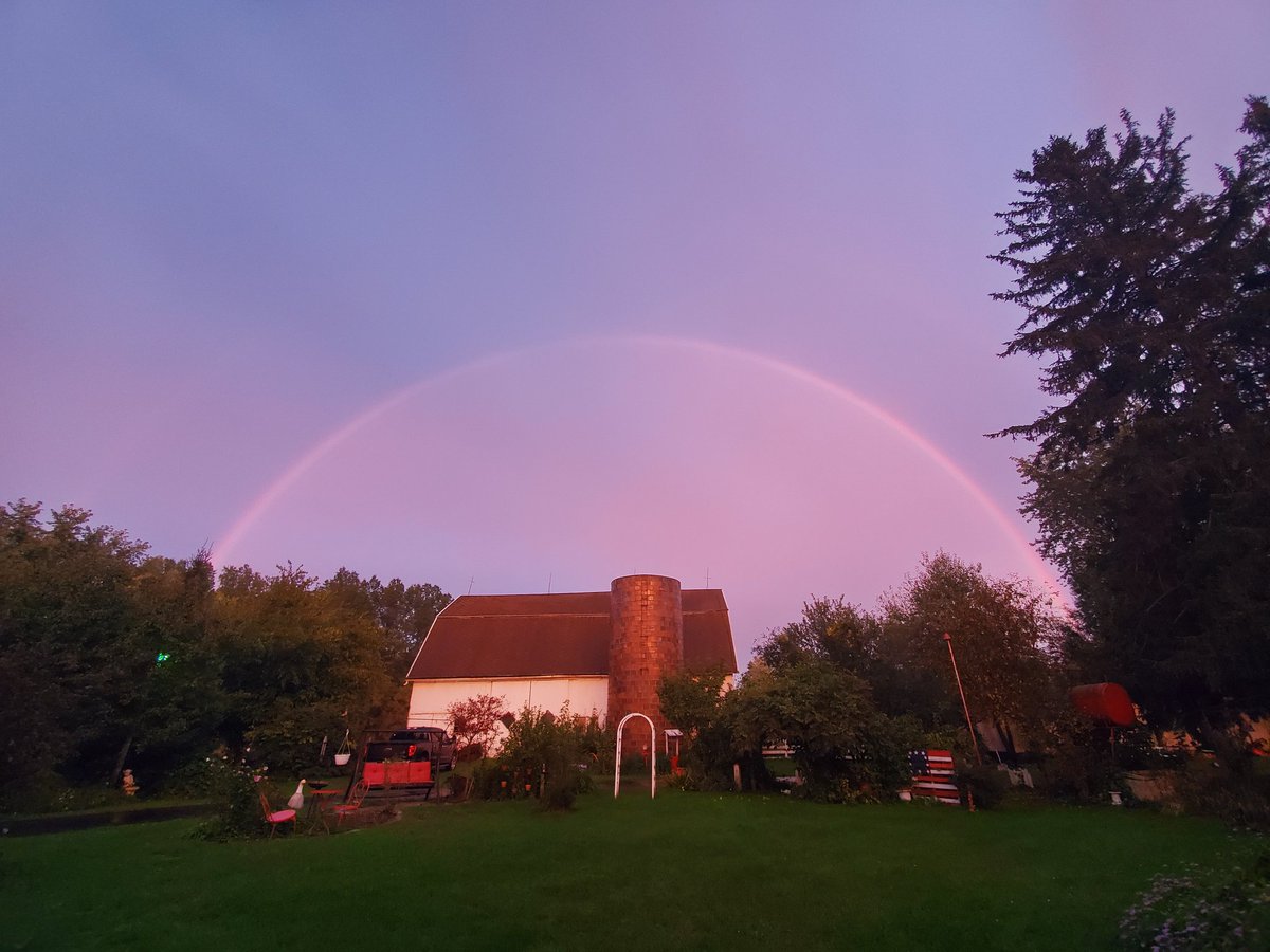
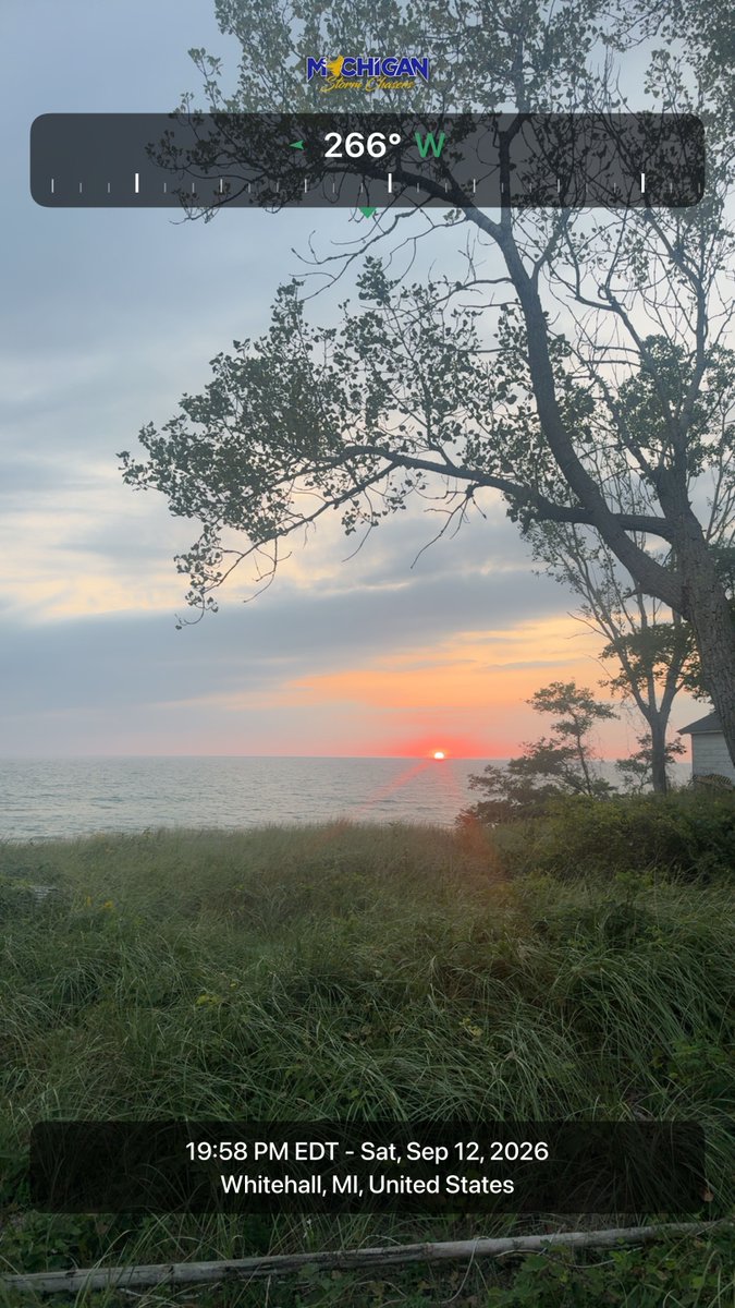
A couple really impressive shots of tonight's sunset and sunset glow across the Lower Peninsula sent in via the Michigan Storm Chasers app!
Reminder, streamline all of your fair weather and stormy weather reports through our app, free to download for iOS and Google Play devices.
All photos taken between 7:30 and 8:30 pm EDT 9/12/26.