Born on the night of the Soviet Union's collapse, I grew up in an era dominated by the American Empire, and now I am witnessing the decline of the American Empi
@RupprechtDeino It appears to use the same full-nacelle tilt as the MV-22, rather than the driveshaft-through-gimbal approach seen on the V-280 or the R6000.
@thewarzonewire What’s puzzling is that Russia has managed to cobble together the UMPK using Chinese CRPA modules and INS components, while Ukraine’s response has been surprisingly slow.
@HamWa07 It appears to be far more complex than expected, with a modular flight control system, as well as anti-jamming GNSS and inertial navigation units.
@marshallrichrds In fact, there are tens of thousands of companies in China currently producing these "dispersers," ranging from 1lb to several hundred pounds, designed to be compatible with various drones. The low technical barriers and high profit margins are the main driving factors.
@WorldCrimeIntel Clearly, this is a Starlink antenna... The low-cost satellite mobile communication enables any homemade unmanned devices to achieve global deployment capabilities, even with the speed restrictions SpaceX has placed on mobility.
@sentdefender It seems that the IDF has not learned anything from the three years of the Gaza conflict and the Russia-Ukraine war, and continues to concentrate its forces.
Scene Matching Navigation Systems (SMNS) are currently a very popular area of development for drones, especially after the harsh electronic warfare (EW) environment in Ukraine, which relies heavily on high-precision remote sensing data.
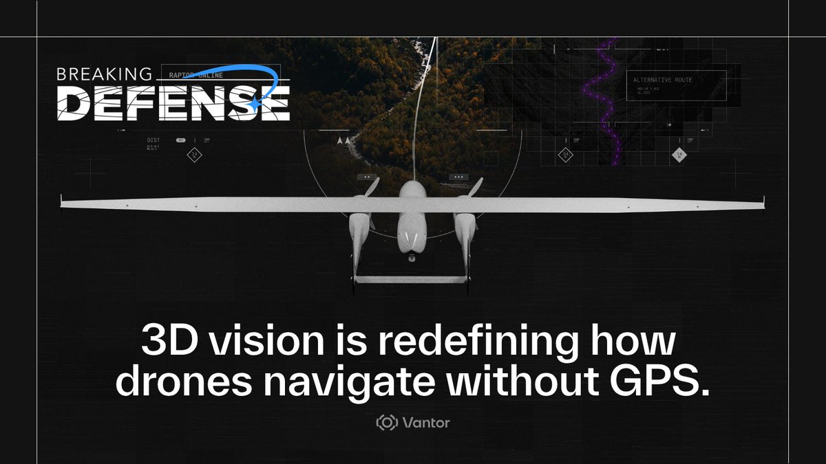
A new wave of autonomy is emerging—one where drones don’t rely on satellite signals to understand where they are or where they’re going. Instead, they’re using vision and terrain to navigate in real time.
GPS isn’t always reliable. Jamming, spoofing, and interference are now part of the operating environment.
Navigation still has to work.
That shift reflects a broader reality: resilient autonomy starts with a trusted spatial foundation. When drones can anchor their location to accurate 3D terrain, they can navigate, adapt, and extract precise coordinates—even in GPS-denied environments.
As highlighted in @BreakingDefense, with insights from Kara Kramer, Head of Raptor Sales, and Paul Millhouse, Head of Raptor Products, this approach is redefining how autonomous systems operate when traditional signals fail.
It’s a clear signal of where the industry is heading: Less dependence on vulnerable signals. More intelligence grounded in the real world.
Explore the full story: https://t.co/Ty7CQTSvNx
@FoxNews This is so childish—using national security as a political bargaining chip. It's something that has now become a part of daily life in the United States.
Born on the night of the Soviet Union's collapse, I grew up in an era dominated by the American Empire, and now I am witnessing the decline of the American Empire.
@sentdefender Unfortunately, if this is the extent of America's strikes, rather than a limitation in scale, then if the U.S. cannot defeat a country that relies on bartering, how can it possibly talk about going to war with other industrial nations?
@Star_Knight12 In fact, you can find better products on AliExpress. This project wouldn’t be considered advanced, but as a project for learning about radar principles and development, it's pretty decent.
@Osinttechnical In fact, many companies in China can provide commercial remote sensing data services on par with Planet and Vantor. The owner of this satellite is Chang Guang Satellite Technology Co., Ltd., the largest remote sensing constellation service provider in China.