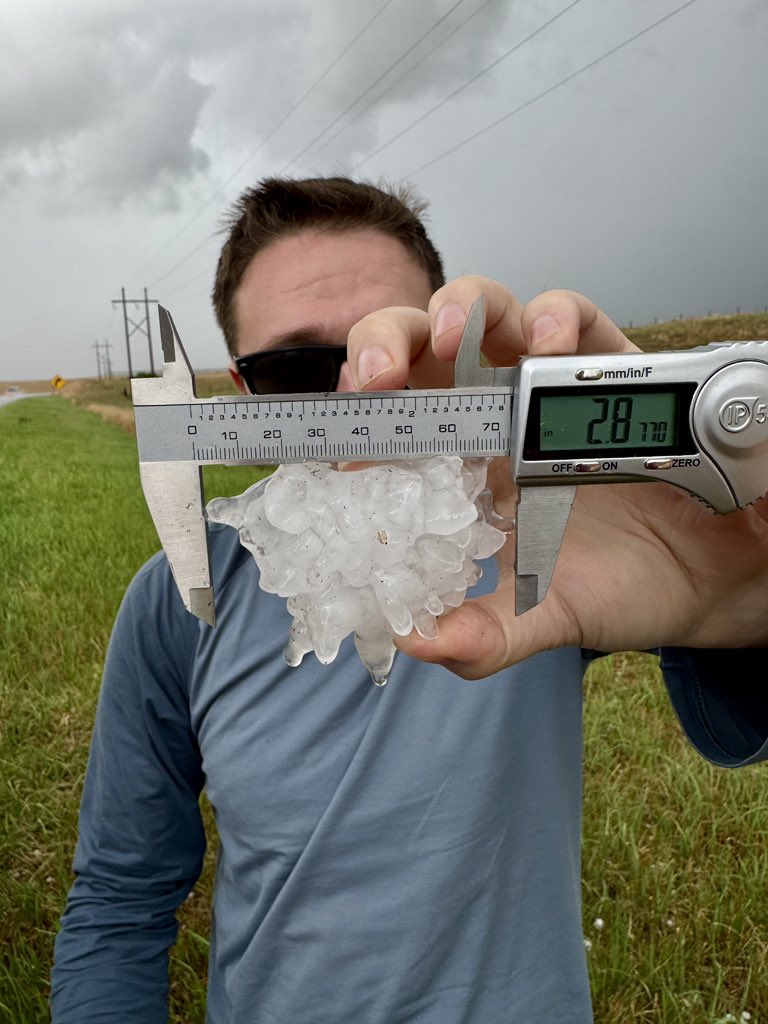
⛈️ Strong to severe T-storms possible Sat evening (6 PM–Midnight) into early Sun across SNE.
🗺️ Greatest risk: West of I-495 (central/western MA, CT, NW RI).
⚠️ Hazards: Damaging wind, lightning, heavy rain.
📱 Stay weather aware. #MAwx#RIwx#CTwx
Retirement Ceremony for Chief Fitzgerald: Join us as we honor Police Chief Todd Fitzgerald on his retirement and 35 years of dedicated service to the Town of Manchester-by-the-Sea. Celebrate with… https://t.co/HknribtgiQ
We had a great time visiting the @iHeartMedia studios to chat with @IamGabySV for her podcast ¿Que pasa, Boston? Here is a video link to get your fix of Chief
https://t.co/8eY6WCSMYb
And an audio link if you’d rather
https://t.co/Hsq9Rmo55m
It’s June 1st!
It’s the first day of meteorological summer AND the first day of the 2026 Atlantic hurricane season!
Here’s how the numbers break down…
Forecasters anticipate a slightly below-normal season due to an emerging El Niño. A potentially strong El Niño is expected by the peak of hurricane season. El Niño creates wind shear in the Atlantic basin, which suppresses hurricane development.
Today is the 15th anniversary of the Massachusetts Tornado Outbreak of June 1st, 2011 where a high-end E3 Tornado impacted the area from Westfield to Charlton including the Springfield, Monson area with 3 smaller tornadoes in Western-Central Mass. Where were you on this infamous day 15 years ago. Summary here: https://t.co/LzWBxMLy77 #mawx #riwx #ctwx
Loud explosion ‘sound’ likely a meteorite burning up in the atmosphere, was picked up by my security camera as I arrived home! As well as GOES satellite imagery over Eastern Massachusetts! Saugus, MA @boston25@NASA