The most important question... Was there only one badge? I like this one! Other than that, connections made and new stuff learned - very worthwhile day #EsriUKAC
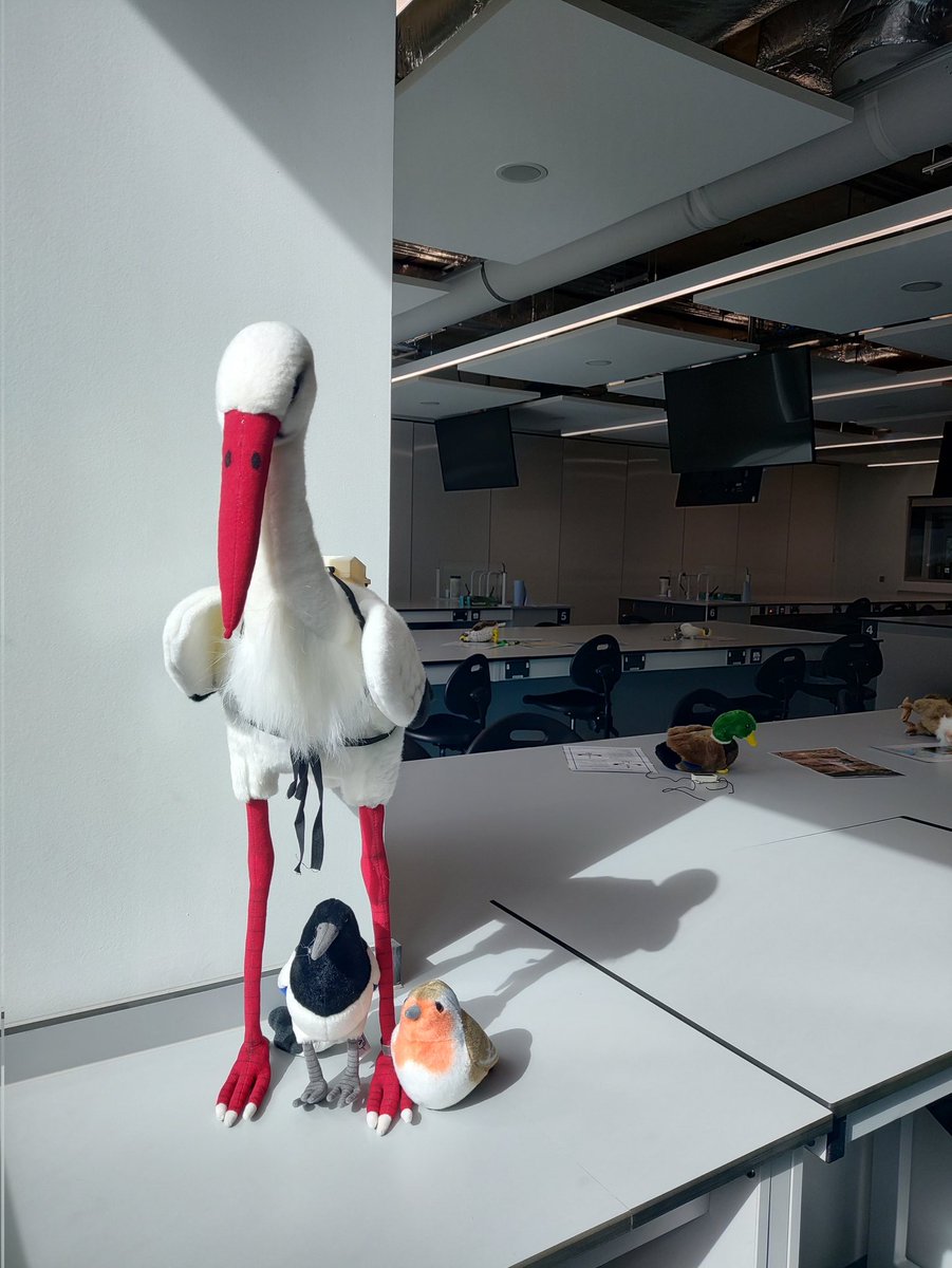
I have new friends and a new demo for today's @uniofeastanglia@ueaenv Applicant Day - thanks @AldinaFranco for introducing us 😊 looking forward to meeting our applicants!
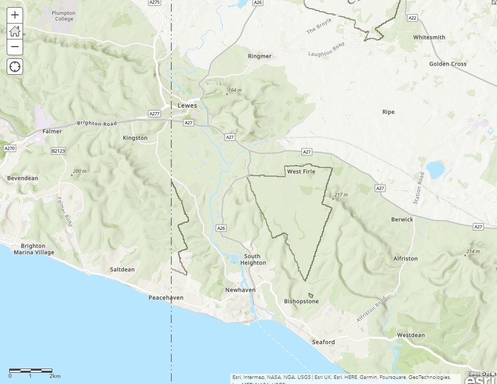
What's up with World Hillshade in #ArcGISOnline / #ArcGISPro basemaps? Recently it displays lots of dark, angular lines at certain zoom levels for UK, but only E of Greenwich (dotted line)... 🧐 @esriuk@Esri
@kmayall@kennethfield@Esri But how, if there is nothing in the attributes to allow a table join, and the geography modification that created the cartogram precludes a spatial join?
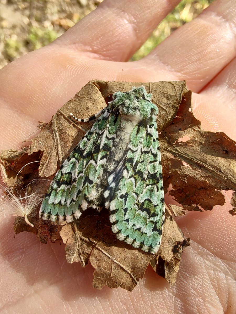
Green Arches, Anaplectoides prasina I think, found dead but lovely that we could get a close look at this beautiful moth. Thought it was just lichen at first! @rbrtjnkns
Studying is important. But so is your wellbeing.
Please remember during this stressful time that you are more than your exam or assessment results. If you are feeling overwhelmed or stressed, take some time to reset and have a break.
#UEALibrary#LibraryLove#UEA#StudentLife
"What’s expected of a student in a lecture?
There's not much expected of you during a lecture: your job is simply to turn up (or tune in if it is online), listen and take notes."
No! Many of us work hard to embed activities and prompts in lectures - please engage with them!
If you’re looking ahead to uni, your mind is probably fizzing with ideas about what it might be like 🎓
We've partnered with @uniofeastanglia to hear from their students and delve into what university lectures are like! 👨🎓💻📚
Find out more: https://t.co/Xum24Mm1MY
#University
.@NaturalEngland shared a national habitat layer from their Living England project to #ArcGIS#LivingAtlas. This project aims to deliver a habitat probability map for the whole of England. Explore it here: https://t.co/IEVs7d7CBc
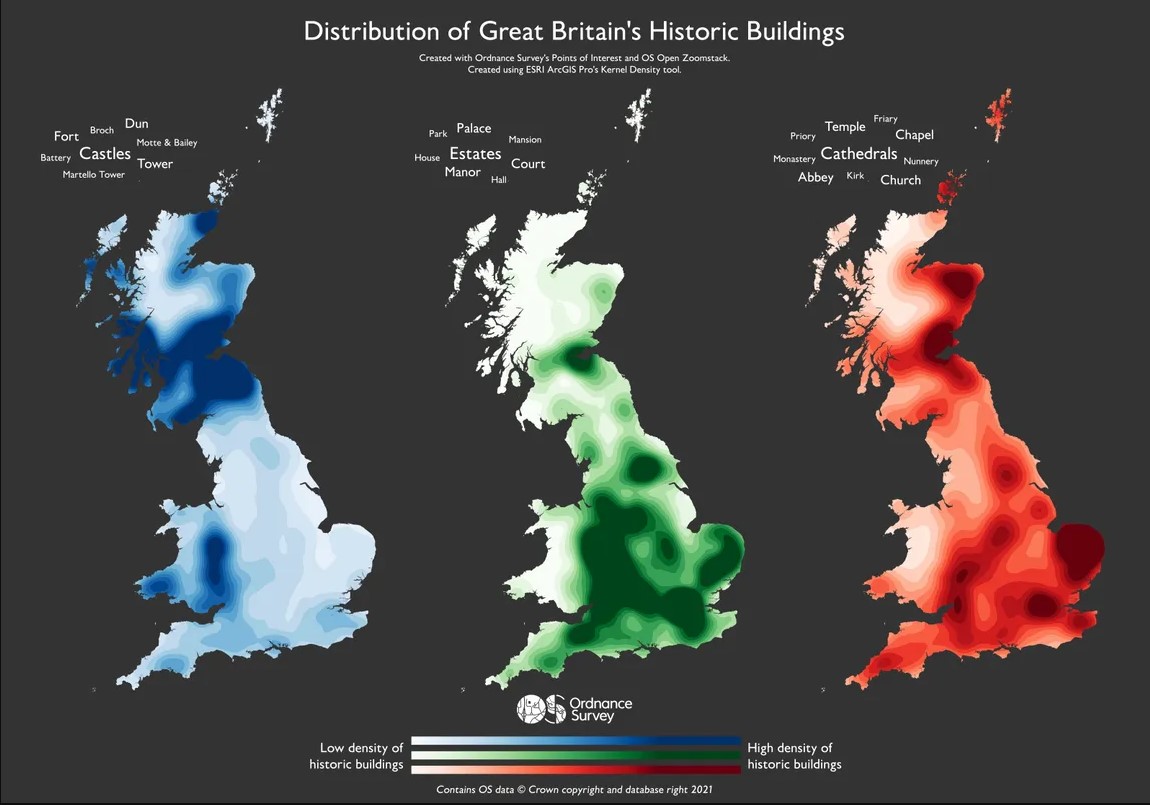
Are you interested in Great Britain's landmarks? This heatmap shows the distribution of historic buildings in GB; including Castles, Estates, Cathedrals, and more.
It was created using OS Points of Interest and OS Open Zoomstack through ESRI @ArcGISPro's Kernel Density tool.