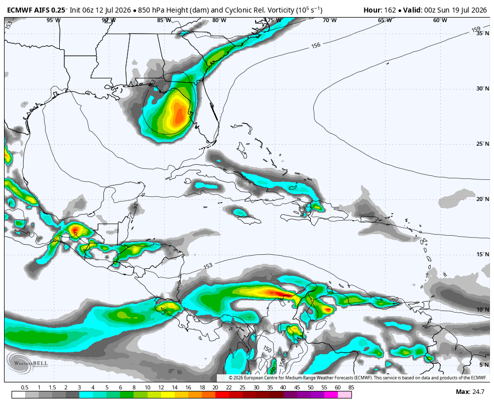
Still wouldn't call it "likely", but it might be worth watching the Eastern Gulf next weekend for a slight chance of development. The tail of an old front, under an upper-level ridge to the north, would be a plausible opportunity for development.
As usual with these setups, the hangups will be time over water and a marginal environment (in this case northerly shear). Just something to keep an eye on.
In the "classic tropical development" department, the East Pacific is about to go to town. Not surprising with a classic, high-end El Niño.
We are excited to announce the launch of our first movie, NEVER STOP CHASING, coming to theaters this summer!
For details and show times, check out the website: https://t.co/9Fgx1M1utK
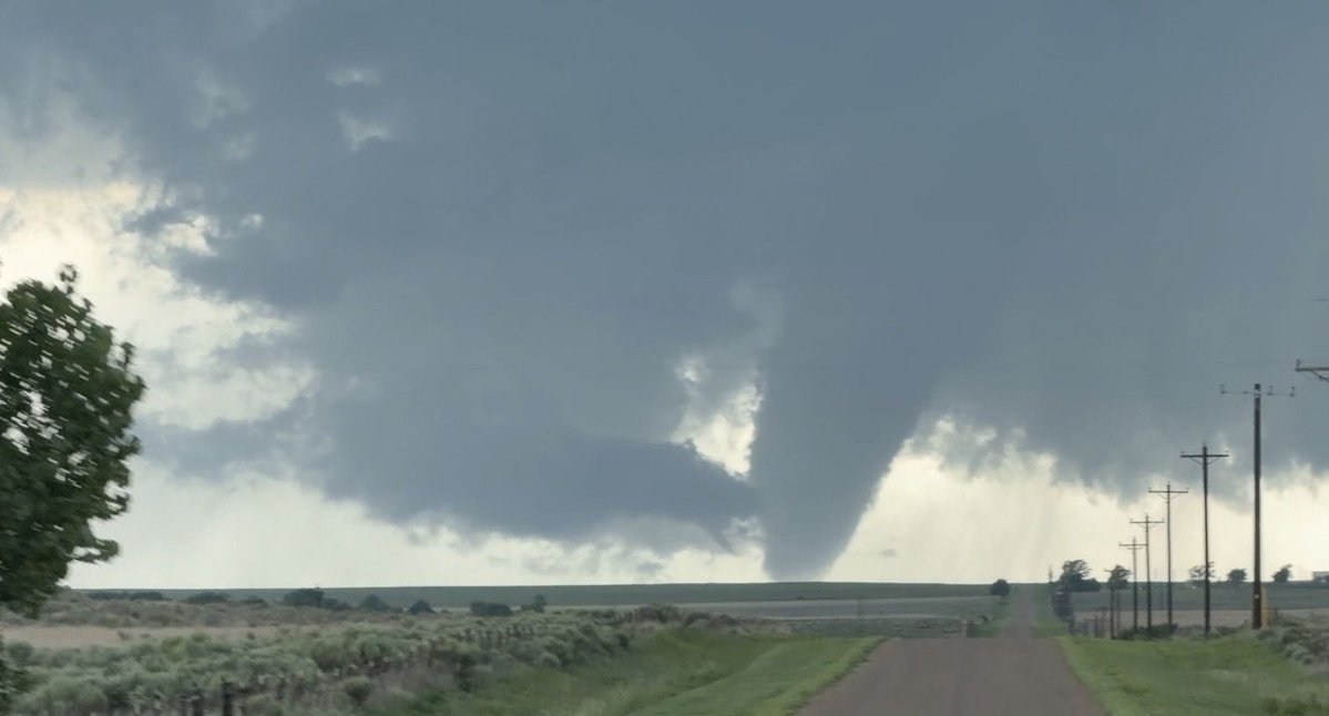
Check out this epic timelapse from my drone of the tornado near Beaver condensing for the 3rd time before it gets wrapped in rain. Just mesmerizing structure! #OKwx
Rain-wrapped cone tornado beneath a beautifully structured supercell south of Slapout, Oklahoma, at 4:57 PM. Captured near the intersection of EW-34 and NS 162 Rd.