.@NOAA is predicting a historic and potentially devastating crest of the Kentucky River at Frankfort.
Record is 48.5’ and the city’s flood wall maximum is 51’.
#KentuckyFlood#WeatherAlert
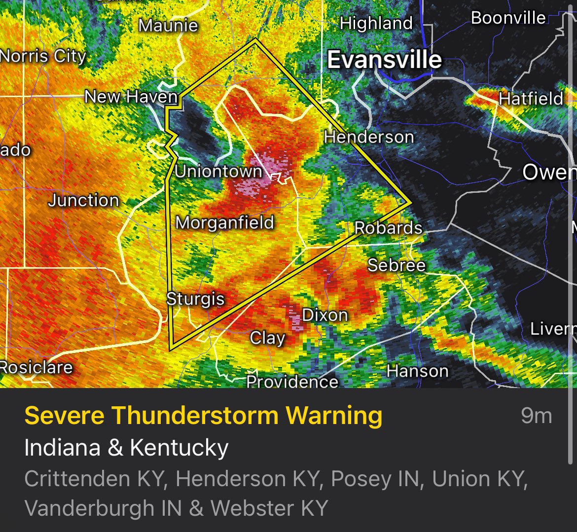
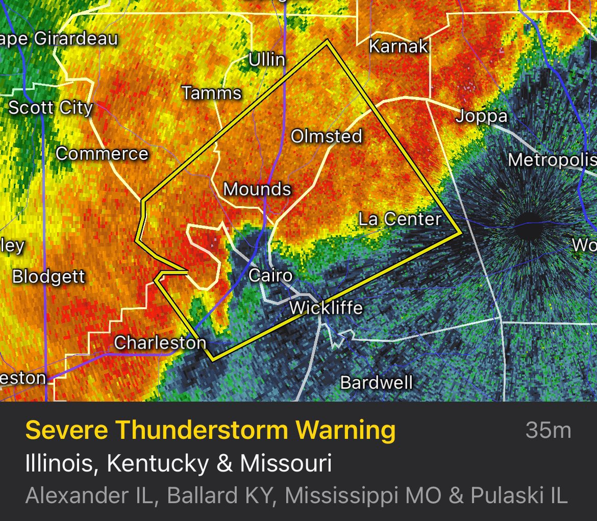
#SevereThunderstormWarning for Allen and Simpson Counties until 5:30pm CDT.
* Locations impacted include... Scottsville, Franklin, Black Jack, Oak Forest, West Fork, Maynard, Clare, Geddes, Mount Zion, and Mcelroy Ford.
*Tornado Possible Tag
#SevereThunderstormWarning for Barren, Edmonson, Hart and Warren Counties until 5:15pm CDT.
* Locations impacted include... Munfordville, Brownsville, Horse Cave, Cave City, Smiths Grove, Park City, Oakland, Windyville, and Chalybeate.
#SevereThunderstormWarning for Christian and Todd Counties until 3:45pm CDT.
Locations impacted include... Guthrie, Trenton, Allensville, Elkton, Pembroke, and Oak Grove.
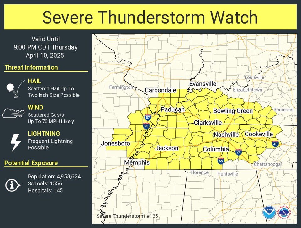
#TornadoWatch issued for 15 KY counties until 9:00pm CDT:
ALLEN
BARREN
BUTLER
CALLOWAY
CHRISTIAN
CUMBERLAND
EDMONSON
LOGAN
METCALFE
MONROE
MUHLENBERG
SIMPSON
TODD
TRIGG
WARREN
*Strong Tornadoes Possible
.@NWSSPC and @NWS likely to issue downstream of watch for areas west of I-65. Rains will continue to increase as we approach the evening. Additional rainfall of 3+ inches is expected.