With damage surveys still being conducted, the NWS has already confirmed 6 tornadoes in Green Country from Monday's storms - 3 in Oklahoma and 3 in Arkansas. That number is likely to increase in the coming days as the NWS survey teams continue their work 🌪️ #okwx@KTULNews
The threat for severe weather is ending for most of Green Country, but isolated strong storms are still possible in areas along the OK/AR border. Drive safely if you're traveling tonight, as there was a lot of wind/flood damage across the region. #okwx@KTULNews
Severe storms are possible Monday afternoon/evening across most of Oklahoma! There is the threat of very large hail and tornadoes! #okwx@KTULNews
Check out the SEVERE WEATHER FORECAST here
https://t.co/T4rrBOl3C3
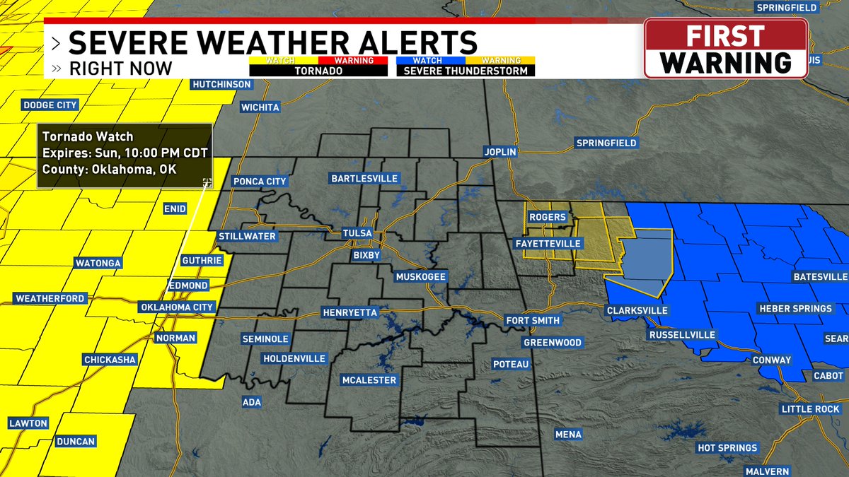
Tornado Watch to our west & a T-Storm Watch to our east. There is still some uncertainty as to whether the storms in western OK will still be severe when they reach Green Country. If we do see severe storms this evening, all forms of severe weather are possible! #okwx@KTULNews
Severe wind/hail continues in eastern Green Country. A Severe T-Storm Warning (70 mph wind, 1.25" hail) continues until 4:15pm for portions of Cherokee, Delaware and Adair counties. The town of Kansas, OK is reporting uprooted trees. #okwx@KTULNews
Mother Nature's beauty is on display tonight, although Mother Nature's fury is still lurking. #okwx@KTULNews
Check out the SEVERE WEATHER FORECAST here
https://t.co/9Q7Z1H1kP0
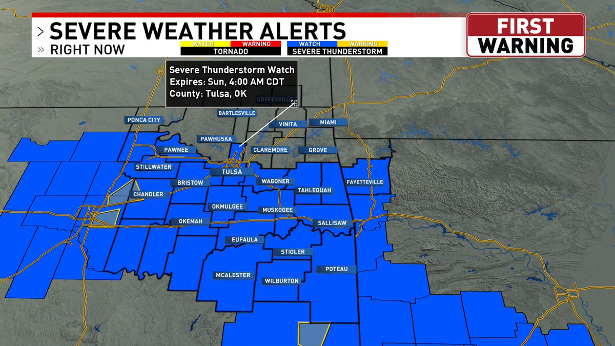
A Severe T-Storm Watch has been issued until 4am Sunday for much of Green Country. The main threats are golf ball hail & 70 mph gusts. A tornado or two cannot be ruled out. Storms will ramp up again Sunday afternoon/evening, w/all forms of severe weather possible #okwx@KTULNews
Tornado warning west of Ada right now! These storms could move into southern Green Country within the next couple hours. All severe hazards are possible! #okwx@KTULNews