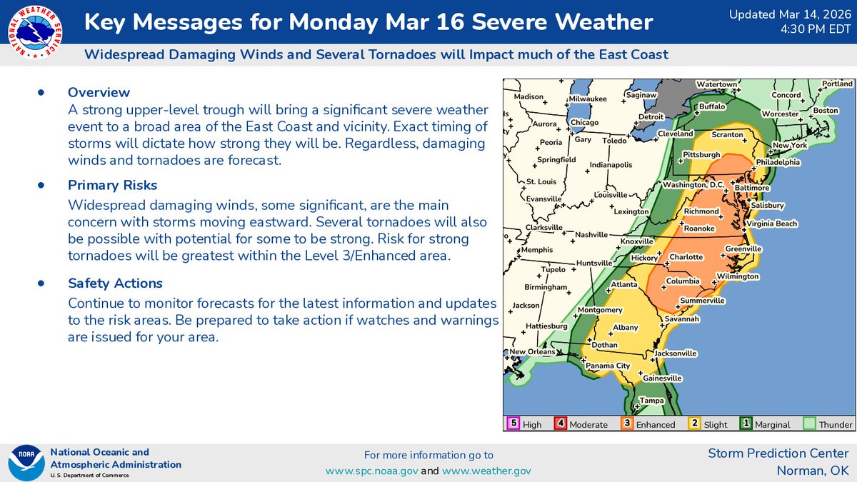
The National Water Center has issued Key Messages for considerable flooding impacts across portions of the Mid-Atlantic and Northeast. More info: https://t.co/UZ3ekqUUkq #flooding#pawx#njwx#nywx#ctwx
Much of the Mid-Atlantic into southern New England has the potential for some Flash Flooding Thursday afternoon into Thursday night, with the greatest risk along the I-95 urban corridor.
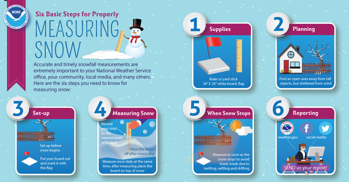
Interested in learning how to measure snow from winter storms? Here are some helpful tips. Consider also joining the @CoCoRaHS program where you can measure rain & snow from your backyard! No prior experience needed. More at https://t.co/ALkB04oKCm #nywx#vtwx#mawx#ctwx
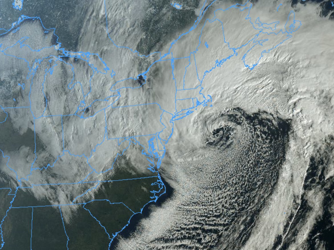
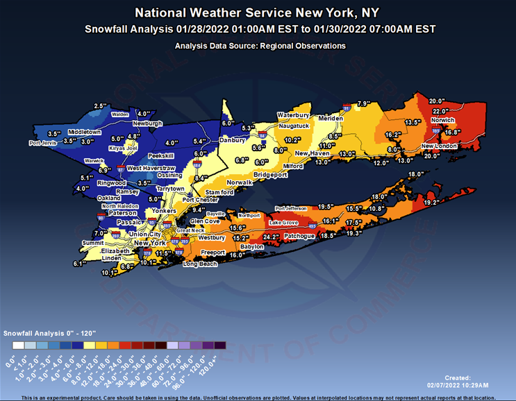
It is the 3 year anniversary of the major snowstorm that impacted our area, with the hardest hit areas being east of NYC. Click the link for the details on this historic storm from 3 years ago: https://t.co/5hjCXqL889
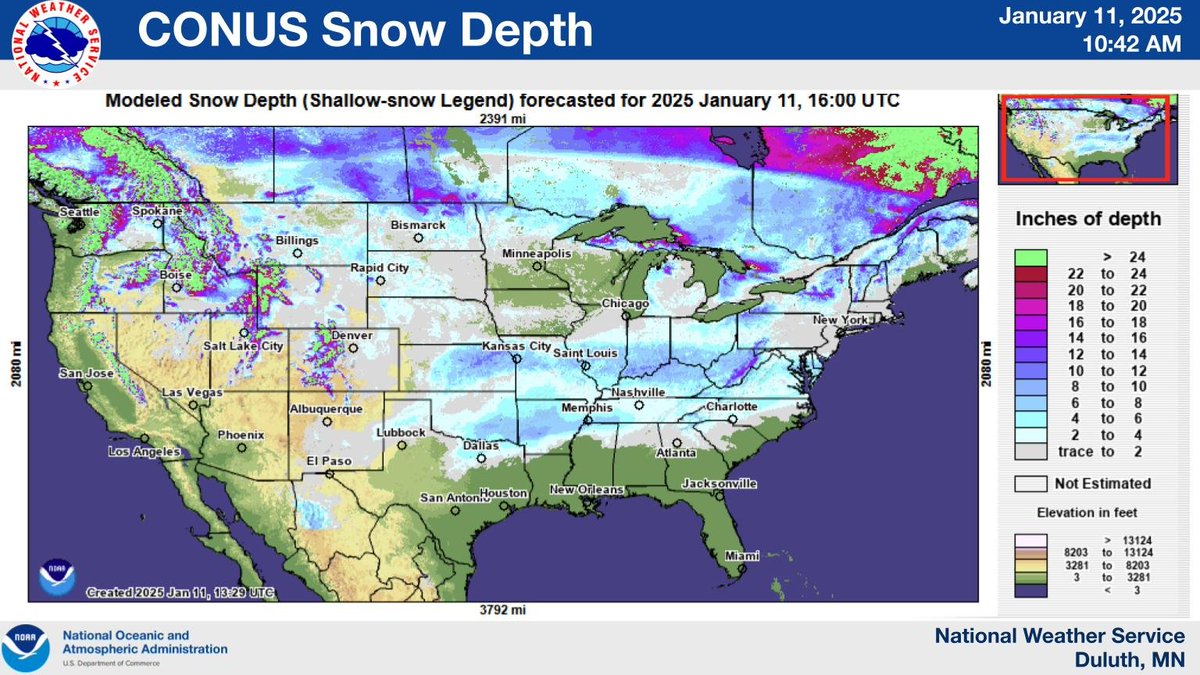
Snow depth across portions of the south is higher than across much of MN and WI! Recent strong winter storms pushed south thanks to a blocking high pressure over our area resulted in swaths of heavy snow. Hopefully incoming snow will help us catch up!