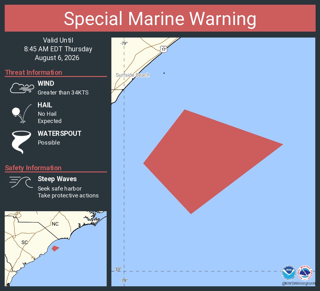
Special Marine Warning including the Waters from Little River Inlet SC to South Santee River SC from 20 to 60 NM, Coastal waters from Little River Inlet to Murrells Inlet SC out 20 NM and Coastal waters from Murrells Inlet to South Santee River SC out 20 NM until 8:45 AM EDT
Another warm day is on tap for Easter Sunday, but it will be breezy with increasing clouds and chances of showers from west to east through the day. Increasing southerly winds will produce a decent longshore current for east-facing beaches with a moderate risk of rip currents.
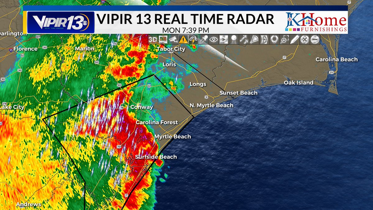
Torrential rainfall continues to fall over Horry County. Street flooding along 501 between Conway and Fantasy Harbor. Lightning is popping off between Socastee, Carolina Forest, Bucksport and Grande Dunes. #SCwx#MYRwx@WBTWNews13
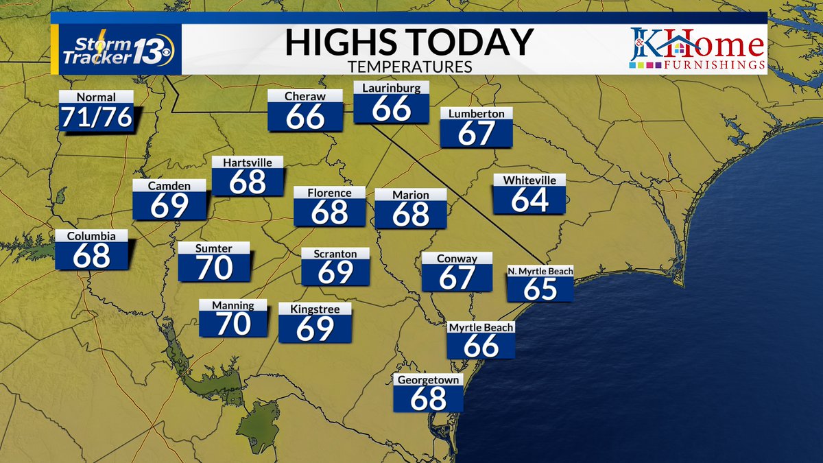
Warm start to the new work week, with lots of sunshine. Nice day overall for Monday After the Masters, the beach, the pool and/or just hanging out! I hope you enjoy your seasonably warm Monday!
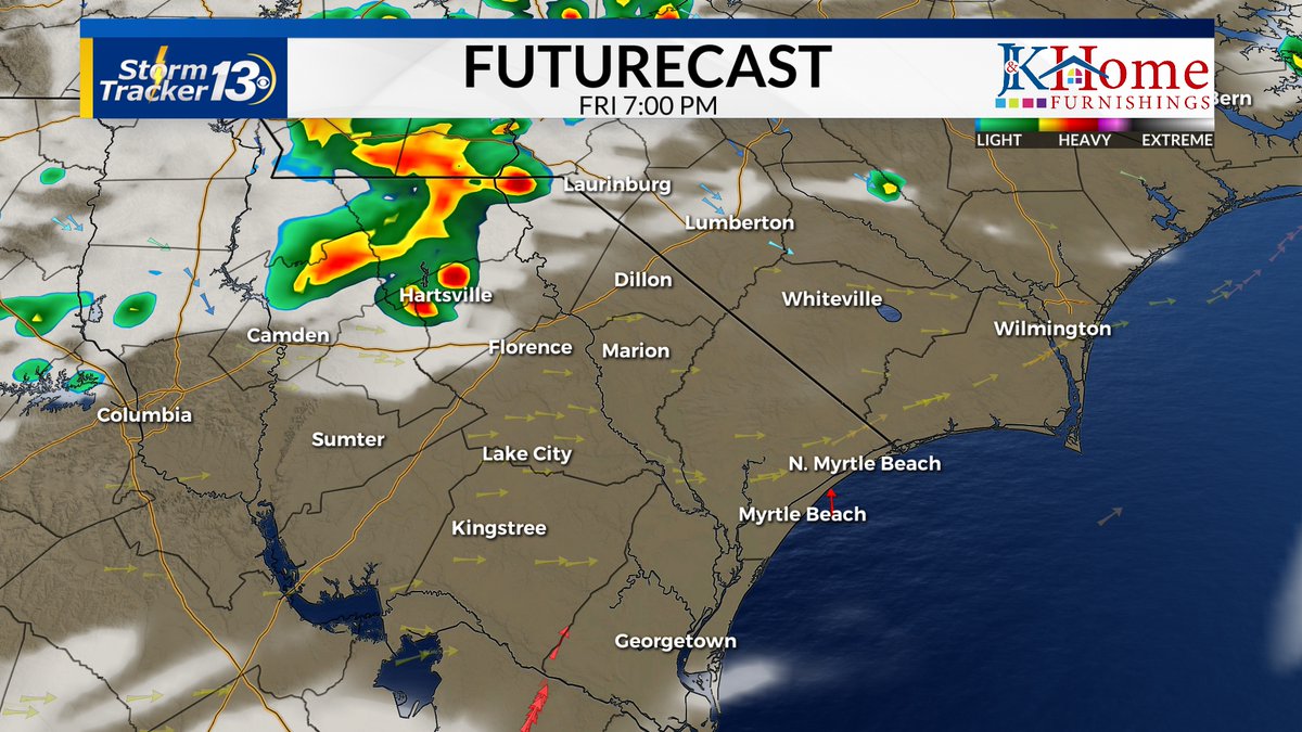
We're dry as of 10 AM, following a few showers and thunderstorms early this morning. There is another chance for scattered showers this afternoon and evening, but most look to stay dry.
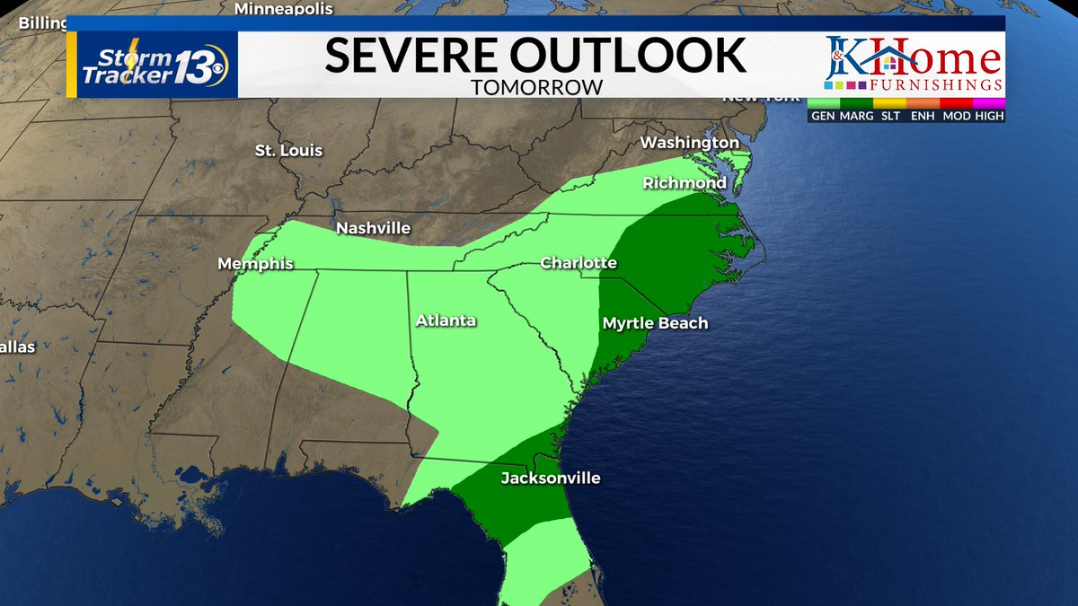
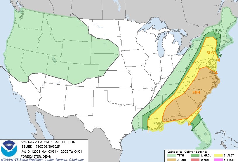
With a chance for showers and storms on Friday parts of the Pee Dee and Grand Strand are in a Marginal Risk (level 1/5) for severe weather. Damaging winds and hail are the biggest threats at this time.