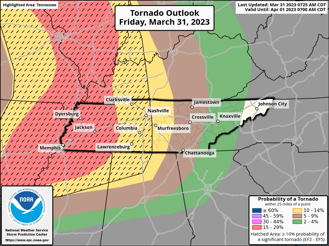
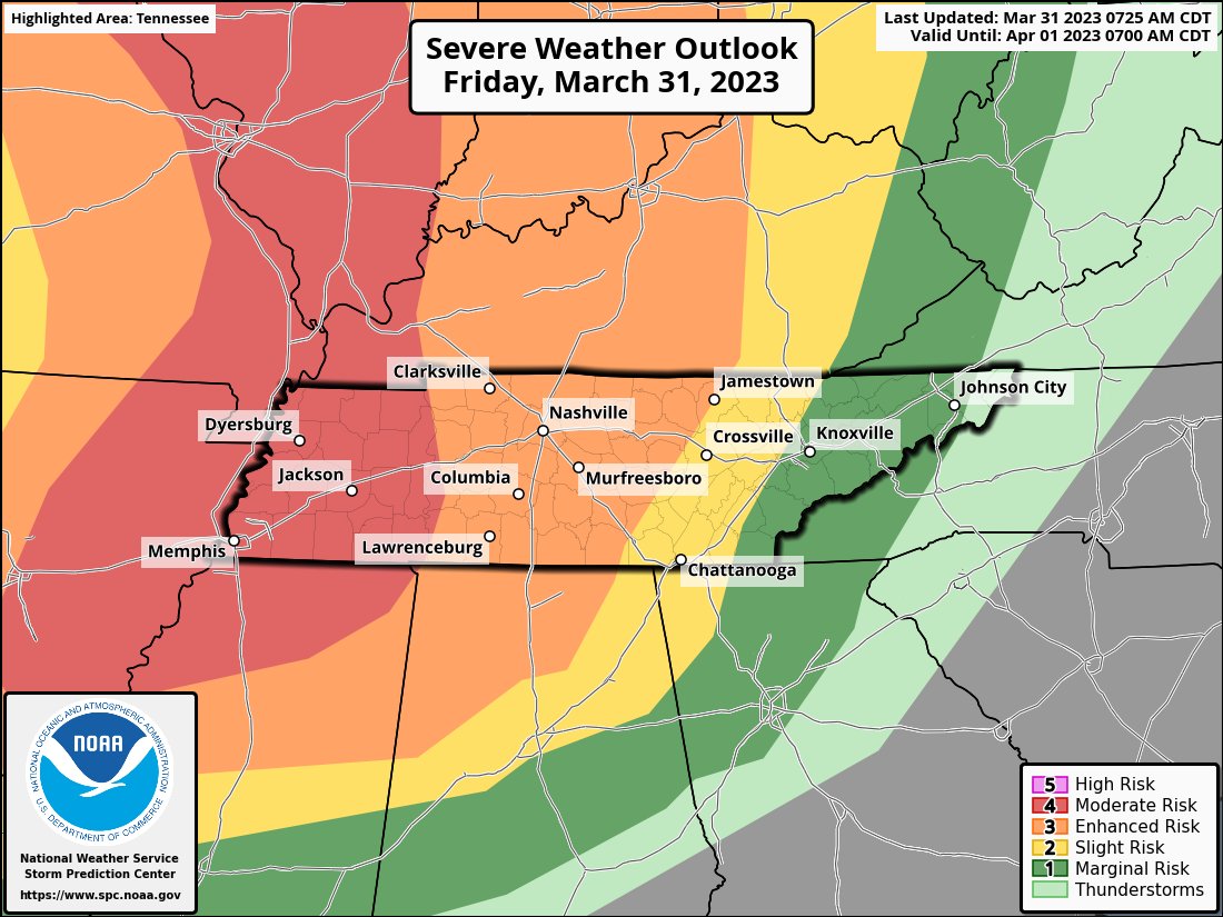
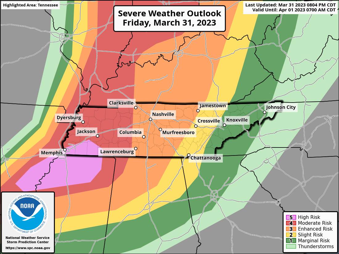
We are under a slight risk (2/5) for strong to severe storms today. These storms will come in multiple rounds and could countian very heavy rains damaging winds, hail, and a few tornadoes. The main timeline is expected to be lunchtime through the afternoon.
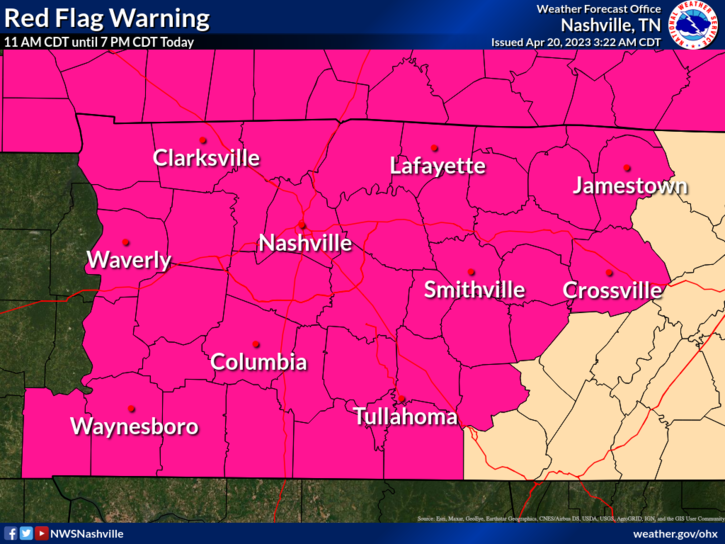
A Red Flag Warning has been issued for all of Middle Tennessee from 11 am until 7 pm today for expected wind and low relative humidity values. Any fires that develop will likely spread rapidly. Outdoor burning today is not allowed. More Details: https://t.co/HeouAe5uM0
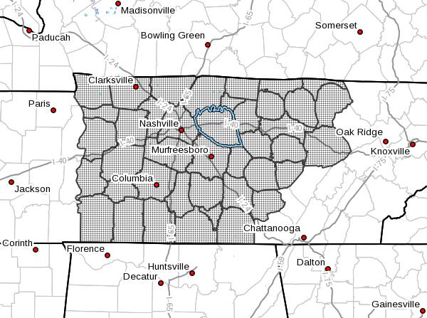
Fire weather watch through tomorrow evening. Low relative humidity and windy conditions could cause any fire to spread rapidly. Outdoor burning is highly discouraged.
Elevated Fire Danger Conditions Midstate Noon CDT-8 PM CDT Today. Relative Humidity Values 20-25%, 20-Foot Winds SW 10-13 MPH with Gusts up to 25 MPH, & Highs 75 to 80 Degrees, Mid 70s Cumberland Plateau. Outdoor burning & activities that cause open sparks/flames are discouraged.
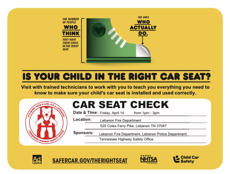
CAR SEAT CHECK
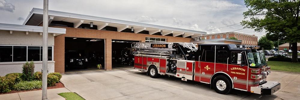
The Lebanon Police Department along with the @LebanonFire and the Tennessee Highway Safety Office will be conducting a car seat check Friday, April 14 from 1 pm - 3 pm at the Lebanon Fire Department Administration building 520 Coles Ferry Pike, Lebanon TN.
If models are correct, storms will start forming out west over the next hour or so. Storm line ETA 11 PM, plus or minus an hour or so.
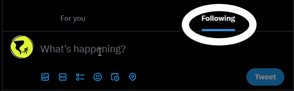
Protip: if your tweets aren't showing up chronologically, use the Following tab, not the For You tab / 826 PM
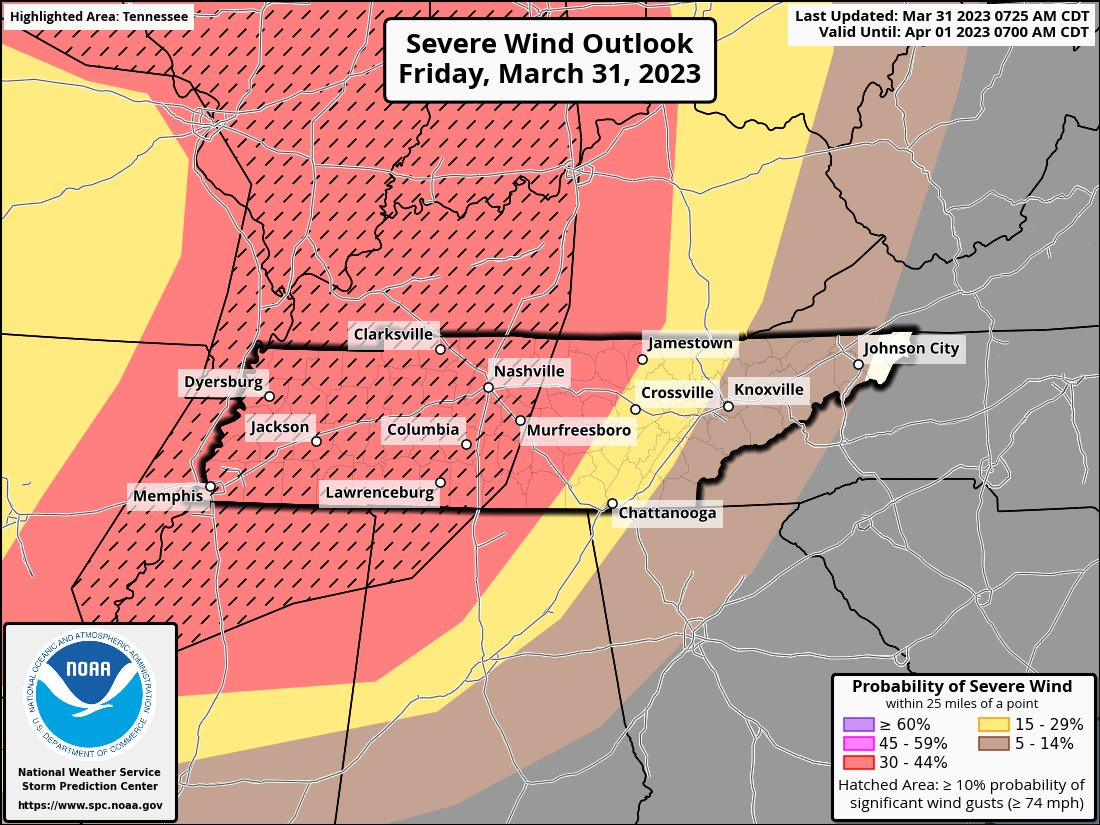
NWS throwing in a wrinkle of a possible earlier round of storms between 7p-9p followed by the main line with the most potential to be severe between 10p-1a. Damaging winds are a real concern in this main line with gusts to 70+mph. (1/2)
Here's the latest on tonight's severe weather risk. Our messaging has not changed. Damaging straight-line winds are the primary threat with gusts of 60+ mph. Isolated tornadoes can't be ruled out,. #TNwx
Fresh update from the SPC. The enhanced risk area has moved east to now include nearly all of middle Tennessee. The risk for tornadoes has also been ramped up as well as the threat for damaging winds. ETA still late evening/overnight.
**Traffic Alert**
THP is working an accident with injuries on I-40 East at the 253 mile marker. The Eastbound lanes are shut down. Traffic is backing into city. Traffic is being diverted. Please avoid the area and use caution with emergency vehicles. TDOT is responding to assist
Smoke alarms become less sensitive over time. Replace your smoke alarms every 10 years. If you don't have working smoke alarms, you can request them for free at https://t.co/bK45fw3x8e. #EndHomeFires
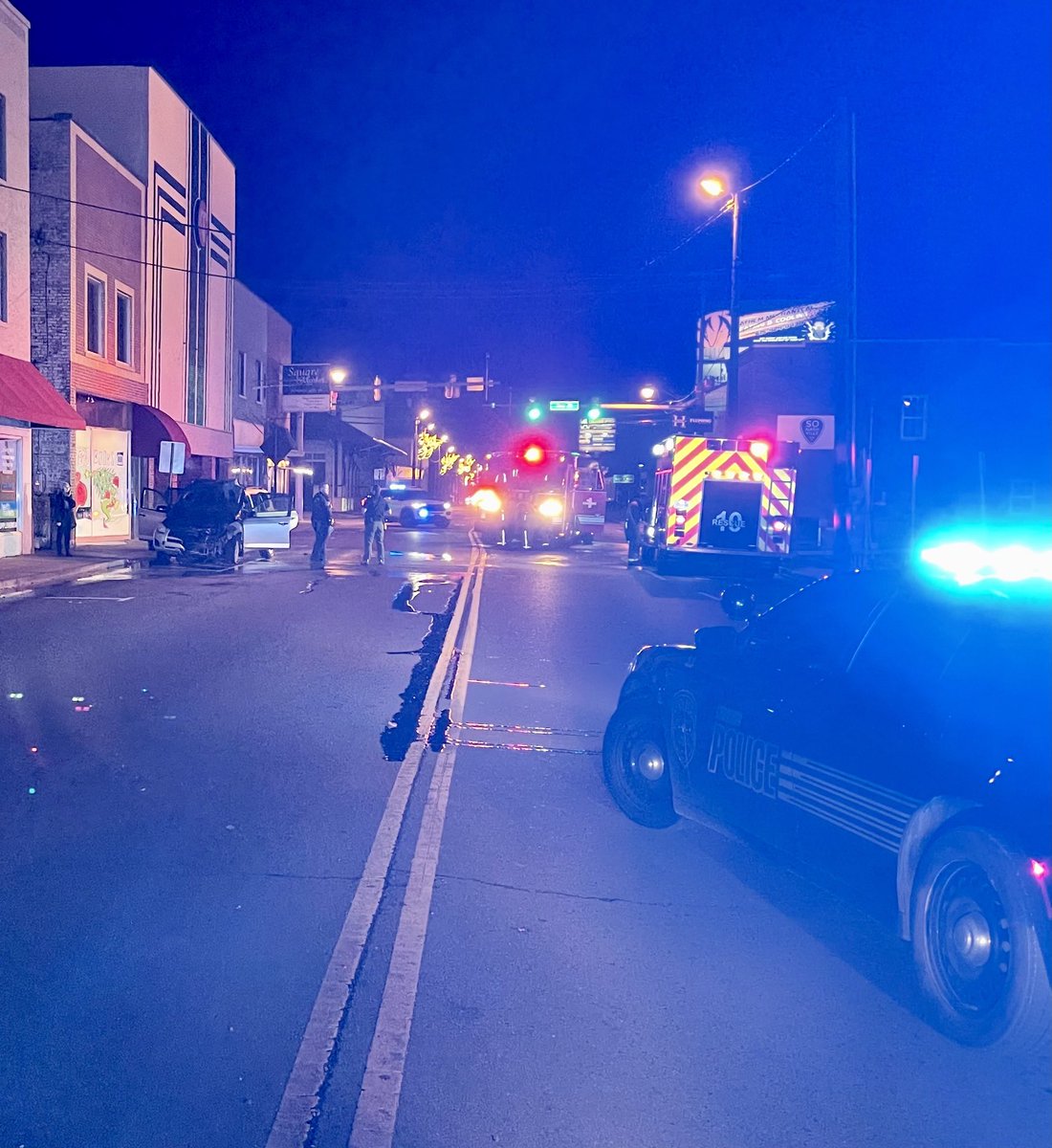
South Cumberland St at the Square is closed at the moment for a vehicle fire. Use caution in the area for emergency personnel working. We will update when the roadway is back open.
(2/2) Please use the entrance on the West side of the building.
(Patrol vehicle at the entrance)
Please check on your neighbors and share this info as needed.
Due to several incidents of frozen or burst water pipes,Mayor Bell has issued a shelter declaration. The Lebanon Police in conjunction with the Lebanon Fire Department will open an Emergency Shelter at 4pm today.The shelter will be located at College Hills Church of Christ.(1/2)