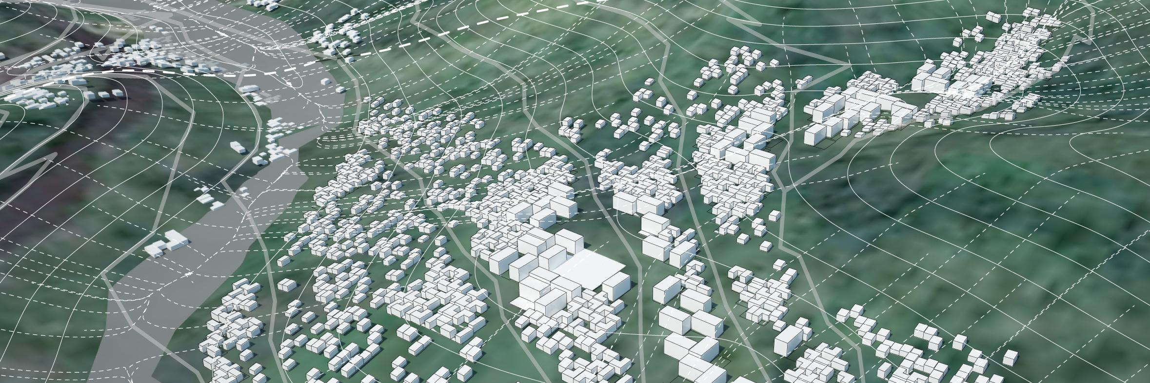
Looking forward to this collaboration between the @uoregondesign Landscape Architecture department and @jpalopcasado @lpa_org to develop the "Caminos del Agua" #landscapeurbanism framework for the city of Arrecife in Lanzarote (Canary Islands)
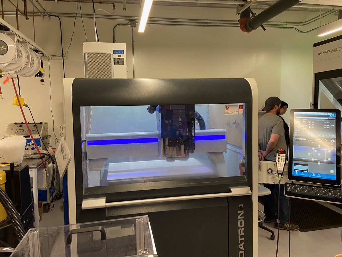
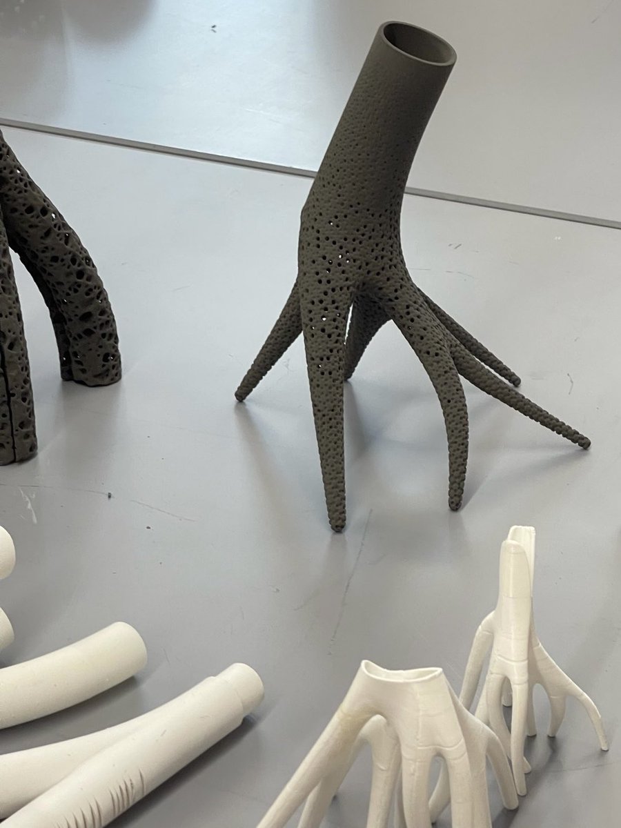
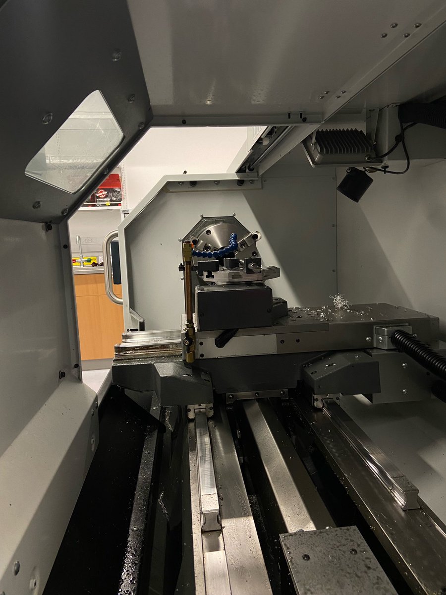
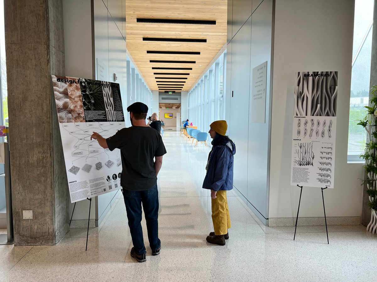
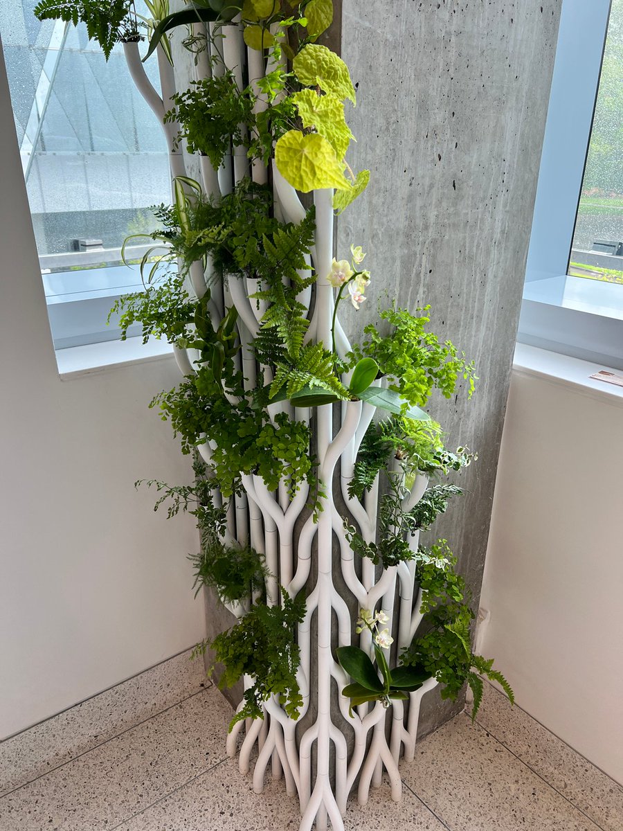
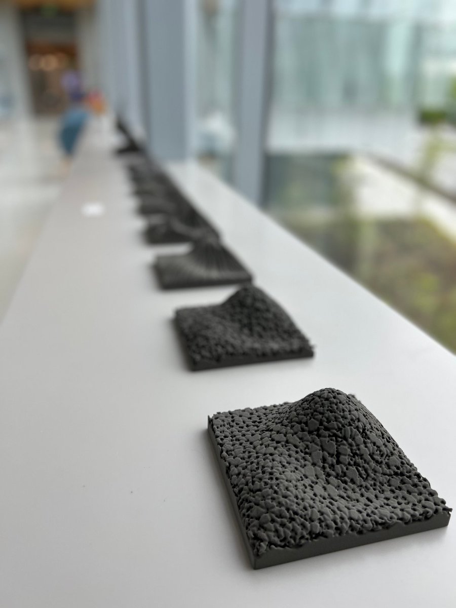
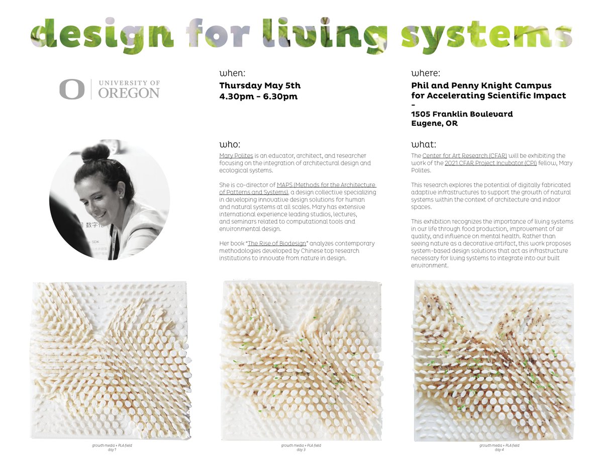
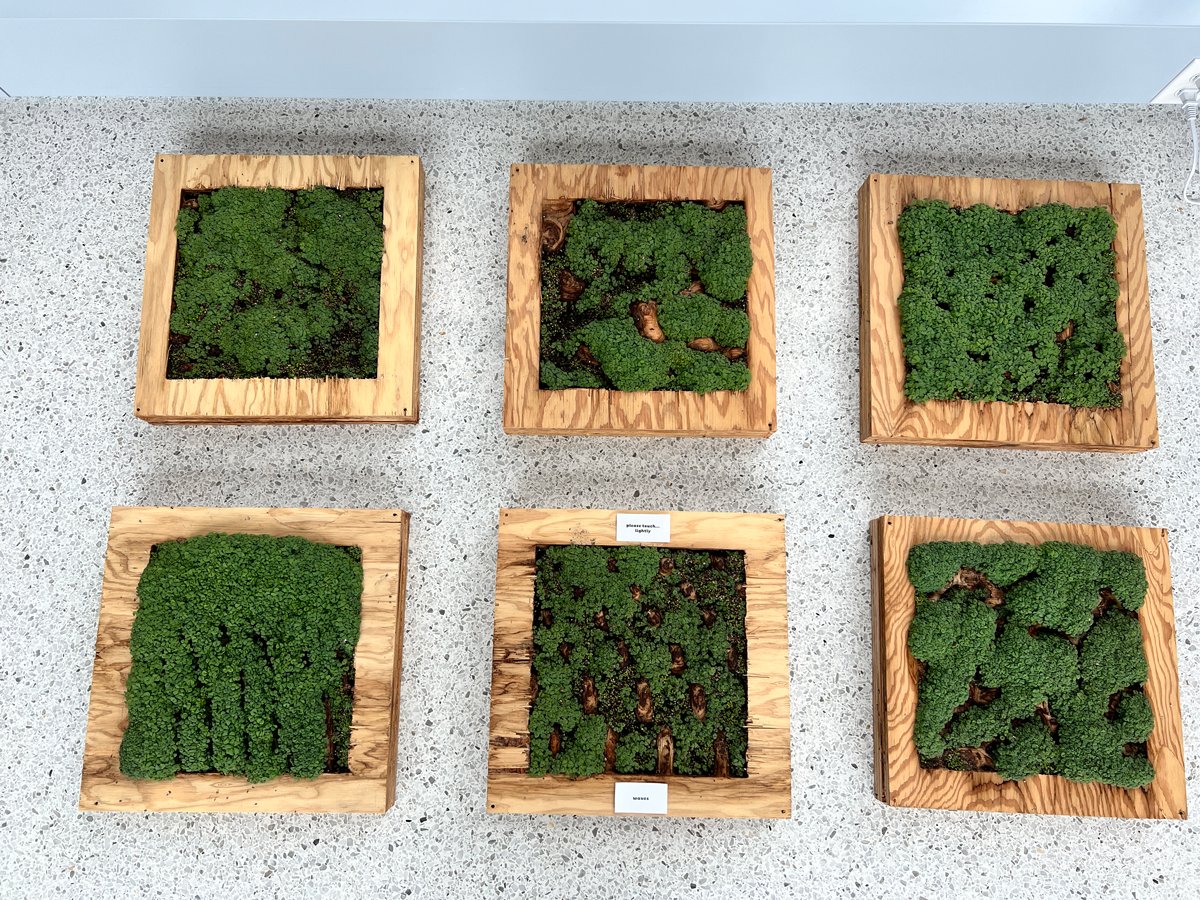
Mary Polites @m_polites, 2021-22 CFAR fellow, gave a tour to University of Oregon's students around the incredible @UOKnightCampus facilities she used for her fellowship exhibition. The visit was part of the @uoregondesign Bruton Transpecies Design workshop back in September.
Check out these photos from Bruton #Transpecies Design Intensive at Knight Campus! This event brings together incredibly bright minds from schools across the @uoregon College of Design.
Art Meets Science — Visit us on the 2nd floor of the Knight Campus today for a PopUp Exhibit by Mary Polites, a fellow in the Project Incubator program, a collaboration with the @uoregondesign Center for Art Research https://t.co/iQwRRUQDIX
Check out these photos from Bruton #Transpecies Design Intensive at Knight Campus! This event brings together incredibly bright minds from schools across the @uoregon College of Design.
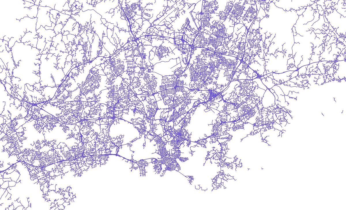
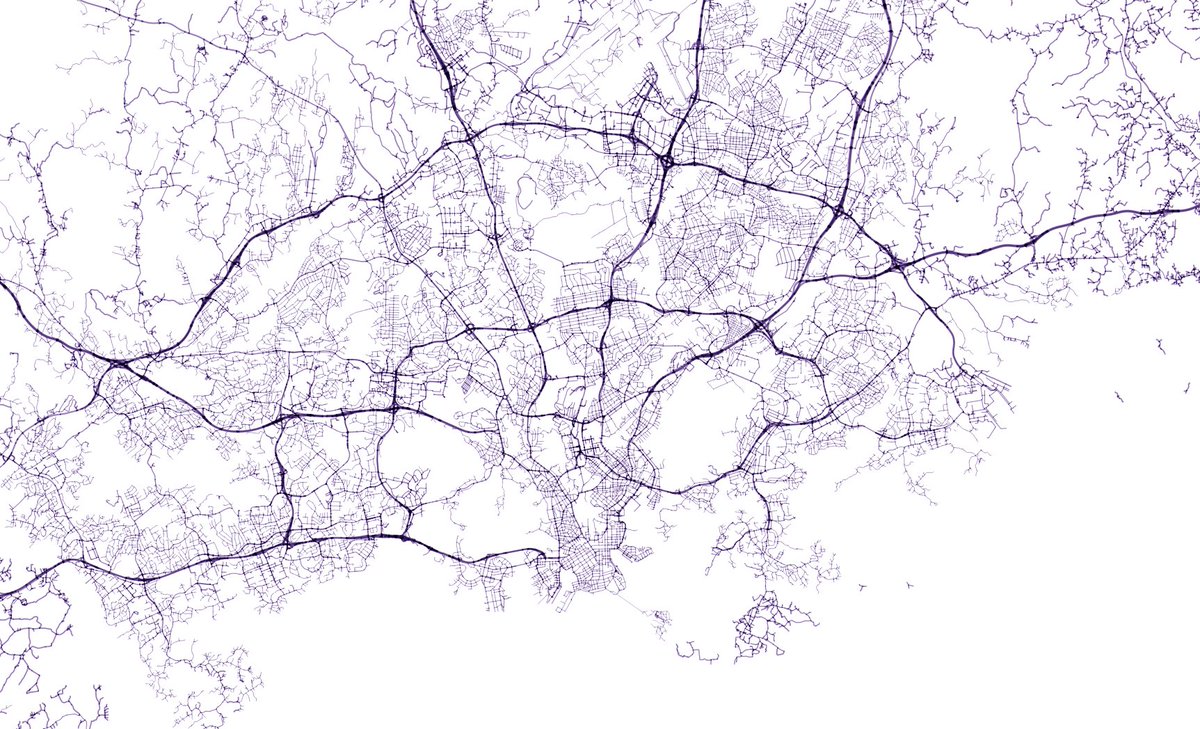
Same data. Two simple #QGIS tricks to make it look very different:
1. Adjust line width based on an attribute. I am using a dynamic expression here (speed limit / 200)
2. Use feature blending mode to highlight overlapping lines. This map is using multiply.
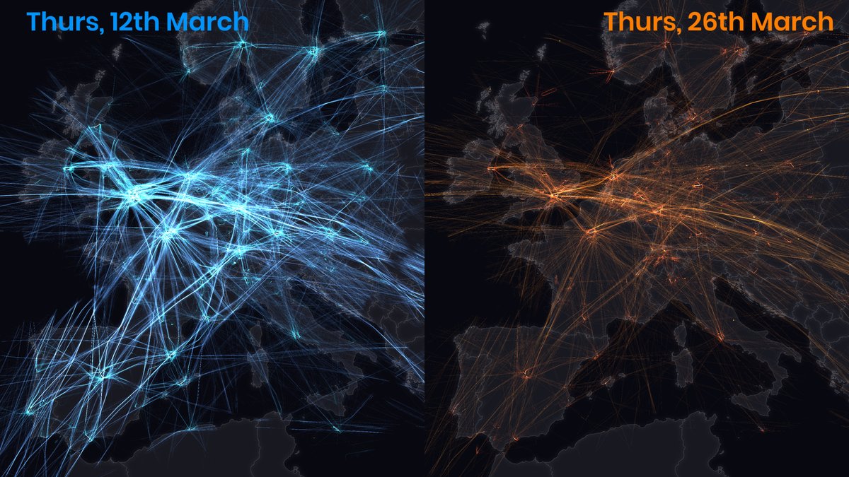
What a difference 3 weeks makes in air travel. The comparison here is between a days tracks for 12th March and 26th March. Data via @OpenSkyNetwork#dataviz
Our ARCH 423/523 Topo-Architectures seminar at uoarchenv uoregondesign is over! Great final online presentation by our students castronauta.i jesss.annn admbrgmn _carolinegraham gracehart25 they_call_me_lawrence… https://t.co/m7OwhcYEsz
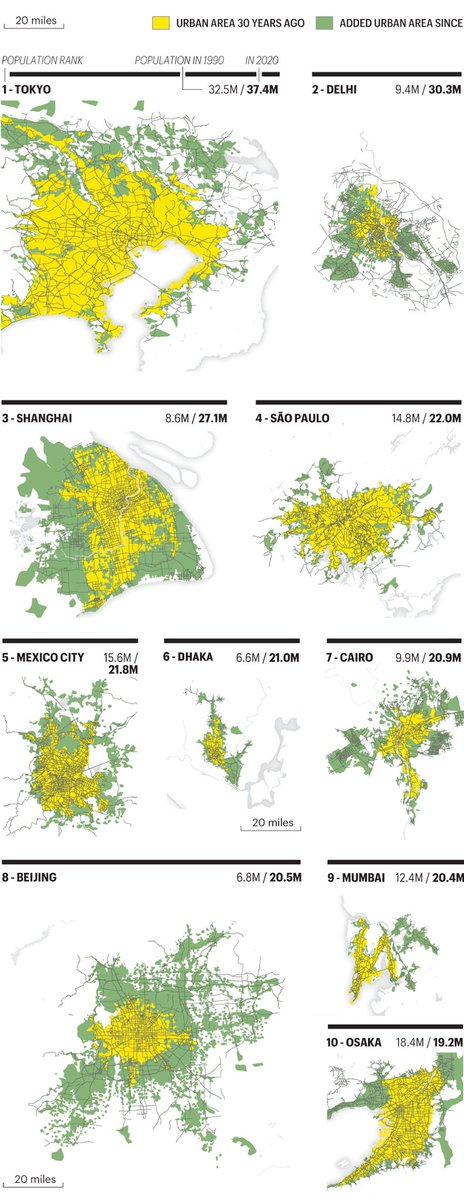
20 maps charting the rise of the modern megacity. How the 20 most populous urbanized areas have grown since 1990—in both physical footprint and total population.
@FortuneMagazine https://t.co/4Ja91qZ0vH
Linux, Mac and Windows packages of new #QGIS 3.12 'București' and point release 3.10.3 'A Coruña' (LTR) ready on https://t.co/yGOw9OeDWA. Farewell QGIS 3.4 'Madeira' (EOL). Enjoy!
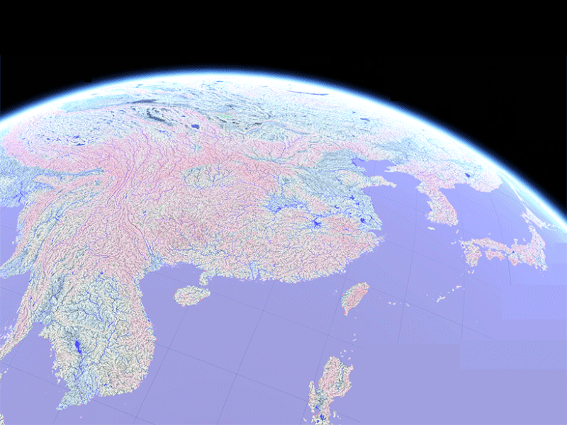
I gave my https://t.co/6aojN3nCbt website a well-deserved upgrade over Christmas and finally added all of my side projects including the recent TopoVoxels and #30DayMapChallenge projects. I'm aiming to keep this updated from now on! #maps#3d#dataviz