Always ready. We make preparedness easy. We service LA County and Ventura County. it’s never to early to start preparing. The only easy day was yesterday!
Today, we pause to honor the brave individuals who have served in the U.S. Armed Forces 🇺🇸
To our #LACoFD veterans, thank you for your continued dedication to Los Angeles County. We are deeply grateful for your service and sacrifice in defending our nation's liberties.
With rain impacting #LACounty today and throughout the weekend, please follow these important safety tips.
Stay safe, look out for your neighbors, and avoid flooded roads!
RESOURCES:
☔️ Storm preparedness resources:
🔗 https://t.co/po3nzqdK1E
📍 Get ready-to-fill sandbags at your local #LACoFD fire station:
🔗 https://t.co/GsJ1ZfKfKH
📲 Sign up for emergency alerts:
🔗 https://t.co/iAfbzpqufP
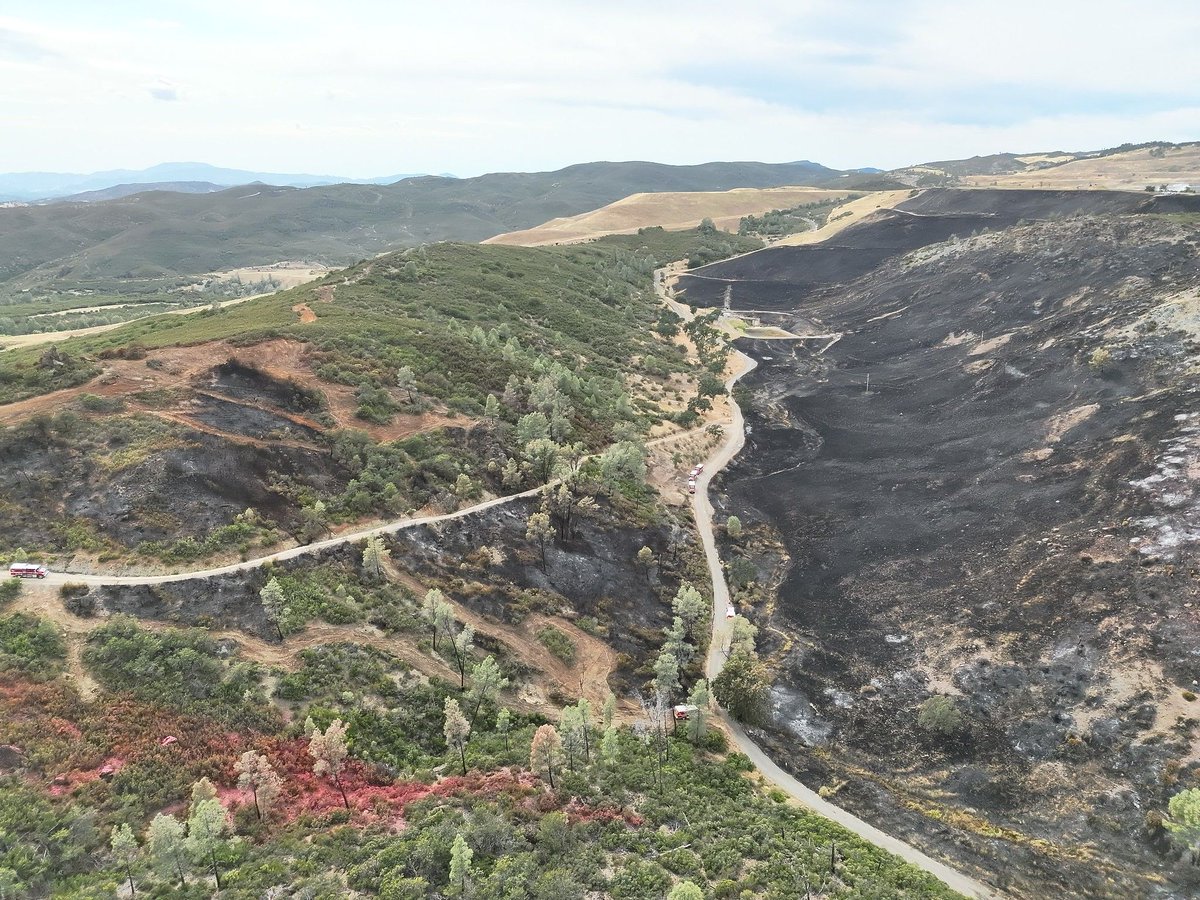
🔥 What does “forward progress stopped” mean?
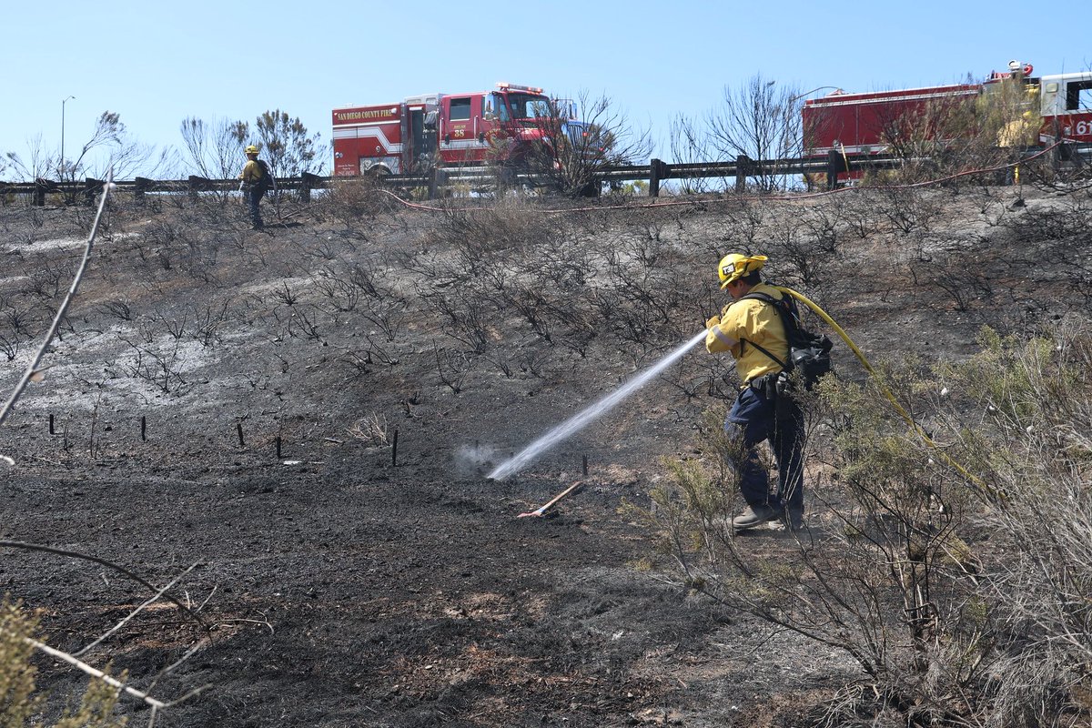
When firefighters say a fire’s forward progress has been stopped, it means crews have stopped the fire from continuing to spread.
It does not mean the fire is out or contained. Firefighters still have work to do.
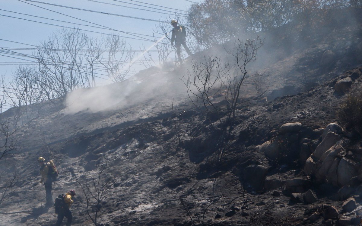
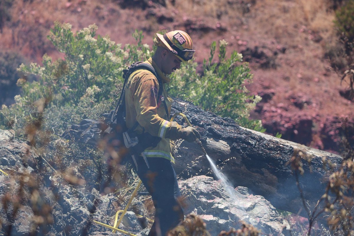
Crews continue building and strengthening control lines, putting out hotspots, and checking the fire’s perimeter to reduce the chance of it spreading again.
Even after a fire stops advancing, firefighters may remain on scene for hours or days to make sure the fire is under control.
The Red Flag Warning is over for the Weekend, but the Fire Season still remains Active, and be on the lookout for Red Flag Warnings in the Future with it being that time of the year for Santa Ana Winds, without rain we are still in Fire Season.
The recent rain we got from the tropical storm didn’t give other counties in SoCal enough rain, and vegetation that didn’t receive enough rain overall can dry out quickly, some areas may be dampened for awhile, but don’t let your guard down, be prepared if a Fire happens and don’t wait to Evacuate if your in Danger.
🚨 RED FLAG WARNING: THURSDAY NIGHT INTO FRIDAY MORNING 🚨
🔥 Critical fire weather conditions are expected across the North Bay Interior Mountains from 10 PM Thursday, October 15, through 11 AM Friday, October 16.
⚠️ What to expect:
🌬️ Northerly winds of 20–30 mph, with gusts up to 40 mph
💨 Gusts up to 60 mph on the highest peaks
🌵 Critically dry vegetation and low humidity of 15–20%
🔥 Fire danger will be elevated, and fires could start and spread rapidly.
✅ Help prevent wildfires:
• Avoid activities that could create sparks.
• Never leave campfires unattended, and ensure they are completely extinguished.
• Keep emergency supplies ready.
• Monitor local alerts and follow evacuation instructions from officials.
📢 Stay alert, take precautions, and help protect our communities from wildfire!
@CAgovernor has activated the @Cal_OES State Operations Center as strong Santa Ana winds, high heat, and red flag conditions increase wildfire risk. This proactive step brings state and local agencies together to prepare for dangerous conditions, coordinate resources, and help protect communities. The activation strengthens the state’s ability to respond quickly as conditions change.
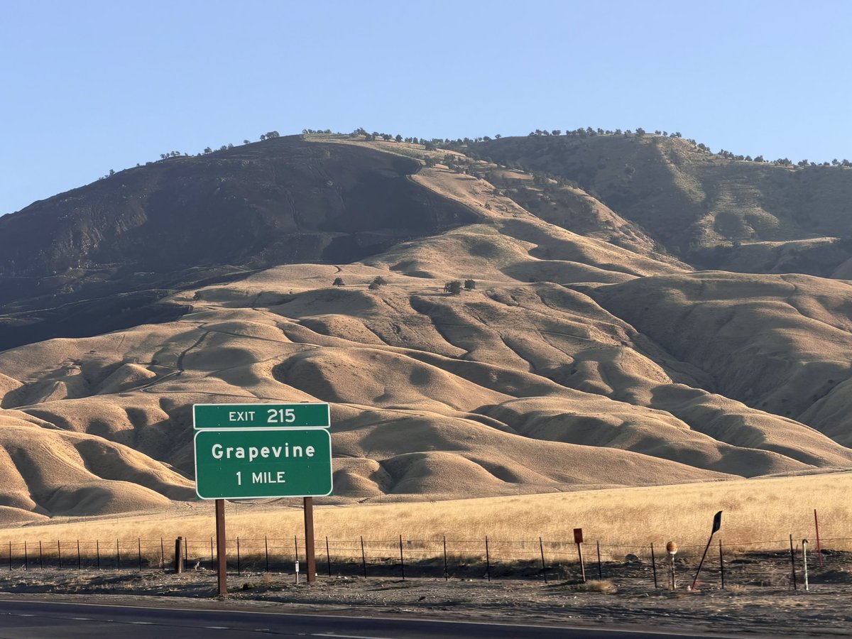
🚩💨 MAJOR WEATHER ALERT | FRAZIER MOUNTAIN & GRAPEVINE
RED FLAG WARNING + HIGH WIND WARNING
📅 Wednesday, October 14, 2026 | Afternoon Update
⚠️ TWO IMPORTANT WEATHER ALERTS HAVE BEEN UPGRADED FOR OUR MOUNTAIN REGION.
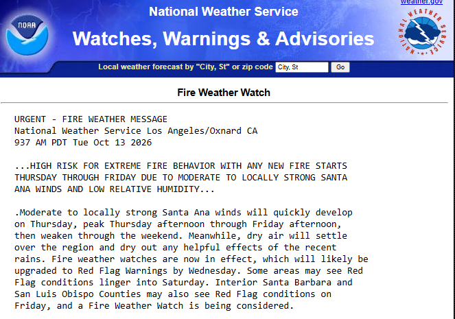
The National Weather Service offices in Hanford and Los Angeles/Oxnard have upgraded their alerts ahead of a significant Santa Ana wind event Thursday and Friday.
🚩 RED FLAG WARNING — NWS HANFORD
📅 Thursday, October 15, 3:00 AM through Friday, October 16, 10:00 PM
📍 Highest concern: Pine Mountain Club through Frazier Park to Fort Tejon
• Strong easterly winds, with gusts exceeding 40 mph increasingly likely, especially Friday
• Relative humidity: 15–25%
• Elevated potential for rapid wildfire spread if an ignition occurs
💨 HIGH WIND WARNING — NWS LOS ANGELES
📅 Thursday, October 15, 6:00 AM through Friday, October 16, 8:00 PM
📍 Interstate 5 corridor, Gorman and Tejon Pass
• Northeast winds: 25–45 mph
• Wind gusts: 50–70 mph
• Potential for downed trees, power lines and power outages
• Hazardous driving conditions, especially for high-profile vehicles
🌲 WHAT OUR COMMUNITY SHOULD KNOW
These warnings do not mean a wildfire is burning. They mean conditions are expected to become dangerous if a fire starts.
Please take time today to:
✅ Secure loose outdoor items.
✅ Avoid outdoor activities that could create sparks.
✅ Charge phones and essential devices.
✅ Review evacuation plans and keep important items accessible.
✅ Check road conditions before traveling through the Grapevine.
📡 OFFICIAL INFORMATION
NWS Hanford: https://t.co/Vh6DRG0yTc
NWS Los Angeles: https://t.co/JI35r8xgQ5
Caltrans QuickMap: https://t.co/o3tP415jm7
Watch Duty: https://t.co/uuUyuwInCk
@NWSHanford@NWSLosAngeles@CaltransHQ@CaltransDist6@CaltransDist7
Information is one of the best tools we have during fire season.
We live in a beautiful mountain community. Being informed, prepared and looking out for our neighbors helps us protect it.
Stay aware. Stay prepared. Protect the peace. 🌲🩷
#CaLandBird #CLBLP #LosPadres #LosPadresNF #FrazierPark #PineMountainClub #Gorman #Lebec #MountPinos #Grapevine #TejonPass #CAwx #RedFlagWarning #HighWindWarning #SantaAnaWinds #FireWeather #California
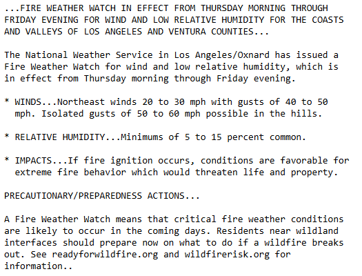
@NWSLosAngeles has issued a Fire Weather Watch for Santa Clarita, Ventura, Malibu, Calabasas and Augora Hills. This will likely be upgraded to a Red Flag Warning by tomorrow. Wind gusts of 40 - 50 mph with isolated gusts up to 50 - 60 mph possible in the hills Thursday through Friday. "If fire igntion occurs, conditions are favorable for extreme fire behavior which would threaten life and property." @Hotshot_Movie@spencerpratt
For those who live in Ventura and Los Angeles County there is going to be a 3 Day Santa Ana Wind Event from Thursday through Friday this Week with Winds looking the Strongest on Friday, with Low Humidity and Temps in the 80’s, but all a Fire needs in Low Humidity and Winds to make it run.
And just to Remind people Ventura County and Los Angeles County barely saw any rain or didn’t get any rain meaning Vegetation is still Dry, the Bike Fire from Sunday was a good example showing the Fuels were still dry in Los Angeles County, so do not let your guard down if a Fire Starts report it.
Seeing a big Fire in San Bernardino, Riverside, Orange, San Diego Counties is Questionable due to the (LFM) Live Fuel Moistures, Winds and Low Humidity can dry out Vegetation quickly despite the rain that was received.
🌡️When it’s hot outside, stay cool inside by drinking more water than normal.
🚰Water helps regulate your body temperature.
🚰Water helps replenish fluids you lose when you sweat.
🚰Water helps prevent heat-related illness.
Visit https://t.co/vWtngzw9Ir for more heat safety tips.
October is here, and we’re wearing pink.
Every October, CAL FIRE joins more than 900 fire and law enforcement agencies nationwide in wearing pink. This initiative aims to raise awareness of cancer risks, support cancer research, and stand with those affected by the disease.
Last year, CAL FIRE’s “Cares Enough To Wear Pink” campaign raised more than $39,000, which was donated to the Firefighters Cancer Support Network.
Cancer affects countless people, including members of CAL FIRE. Firefighters face increased cancer risks through occupational exposure, making awareness, prevention, early detection, and treatment especially important.
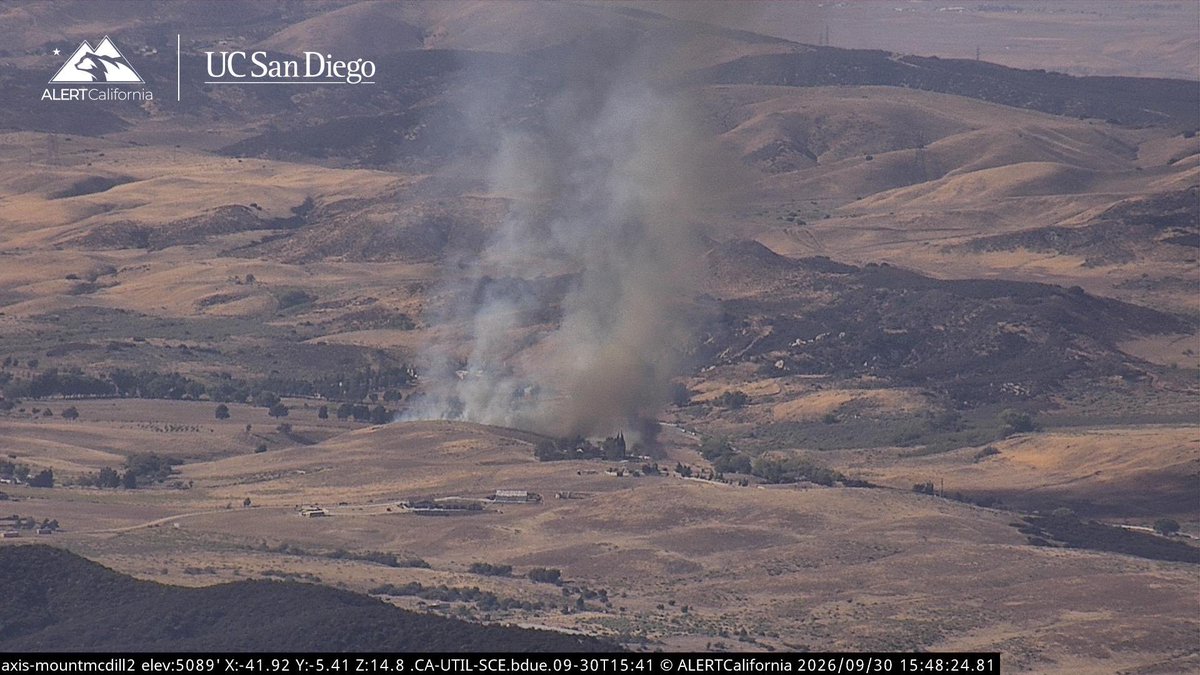
#IrisFire Aircraft Assisting.
Air Attack 52, Air Tanker 01, Quebecs 1 & 2.
LACoFD Copters 18, 19, Helitanker 55.
ANF Helitanker 1HT, 6HT.
The Fire is 3-4 acres, Moderate Rate of Spread, making the Right Flank a Priority from Copter 18.
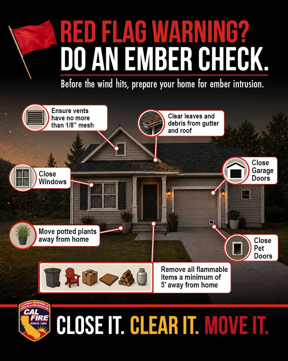
During periods of high fire risk, a few simple actions can help protect your home from flying embers, which can travel a mile or more ahead of a wildfire.
🏠 Clear leaves, needles, and debris from roofs and gutters.
🔥 Move flammable items at least 5 feet from your home.
🚪 Close garage doors and pet doors.
🪟 Close windows.
When fire weather arrives, do an ember check and prepare your home to resist ember intrusion.
Meet Paul Benvenuti from the Cal OES California State Warning Center with an important message for Preparedness Month. Disasters can happen anytime and take many forms. @Cal_OES encourages Californians to take action now. Sign up for emergency alerts, make a plan, and check in with family, friends, and neighbors who may need extra support. For more information, go to https://t.co/vWtngzwHxZ.
🚸Teach kids early. When children understand what to do in an emergency, they’re less scared and more capable. Walk through your family plan with them this week: evacuation routes, meeting spots, and who to call.
✅ https://t.co/MeNCOAGaCw
A packed Go Bag can save valuable time when you need to evacuate quickly.
Pack yours before a wildfire or other emergency, not when you’re under pressure to leave.
An easy way to remember the essentials is the 5 Ps:
📄 Papers
💊 Prescriptions
🔋 Power
🥤 Provisions
🎒 Personal needs
What’s one item you’re packing in your Go Bag?
Tell a friend to tell a friend…
Tomorrow, Thursday, September 24, from 7–9 PM, Culver City will conduct a Communitywide Disaster Drill at El Marino Park and in the surrounding neighborhood.
During the exercise, you will:
• Hear the Hi-Lo Audible Warning System
• See Police and Fire activity
• Receive CulverAlerts notifications at the start and conclusion of the drill
This is only a drill. Residents do NOT need to evacuate or take any action.
Your Culver City first responders and volunteer teams will be practicing evacuation operations and emergency communications so we’re ready when it matters most.
You can help by sharing this post with a neighbor!
California is preparing now for a potentially historic El Niño season. @Cal_OES is working with state and local partners and taking early action to protect communities, stage critical resources, and strengthen readiness before severe weather intensifies. Cal OES encourages all Californians to stay ready and stay informed about changing weather conditions.
For more information, visit: https://t.co/rXmM9Jg2a9