The free Mapcite Excel addin is now available from the Microsoft App store! Fully interactive maps react directly within your spreadsheet. Use link below.
Despite government support throughout the pandemic, businesses are losing money every day and unemployment is skyrocketing. Who will pay the price for these losses and lack of income?
Read more here: https://t.co/e8tWzz4jjC
#COVID19#governmentfunds#property#economicrecovery
Consider this: a CRM system that attributes data to a single address. SpatialCRM changes the system paradigm to make an address the focal point to provide better customer insights. Read more here: https://t.co/aXOg57ncFg
#spatialcrm#data#location#analytics#crm#CRMSoftwares
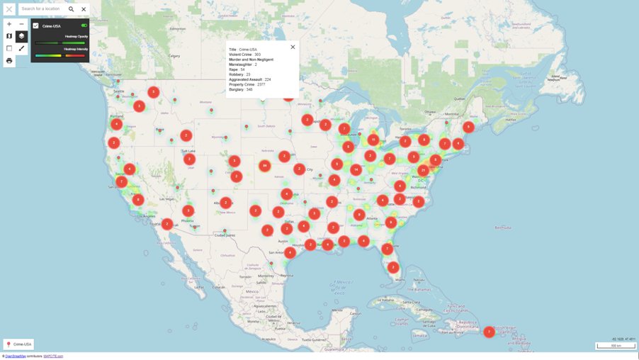
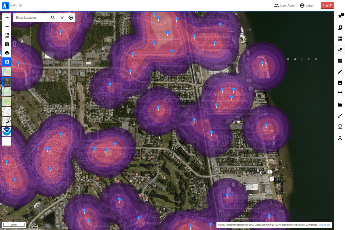
Mapcite Publisher gives users a way to create detailed data visualisations through Excel & then publish them to the web, making sharing maps even easier. Explore an interactive map highlighting USA crime trends from 2018 here https://t.co/gsRNp54GFO
#data#mapping#excel#crime
Have you heard about Mapcite Publisher? It's a new feature in our Excel Addin allowing you to publish your detailed map straight to the web, making sharing even easier.
Check out more about this awesome new feature here:
https://t.co/XejZxfTdlG
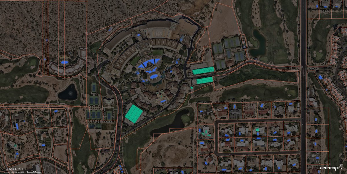
Exciting news! Today we have officially launched the general availability of #NearmapAI on Mapbrowser!
Automatically identify ground features, track changes and verify insights against current aerial imagery at massive scale. Check it out at https://t.co/mv5FoF7NI8
A new breed of GeoTech start-ups are taking powerful geospatial analysis functions and distilling them into easy to use solutions. Find out more from Richard Crump, @MAPCITE's Head of Consulting Services: https://t.co/VoREB8CJQY #everythinghappenssomewhere
A new breed of GeoTech start-ups are taking powerful geospatial analysis functions and distilling them into easy to use solutions. Find out more from Richard Crump, @MAPCITE's Head of Consulting Services: https://t.co/22mkBmEgiA #everythinghappenssomewhere
Did you miss last week's #Covid19 webinar? Hear from our partners @esriuk, @MAPCITE and @basemap to find out how OS data can support responses to the pandemic: https://t.co/QxTWMrx45c
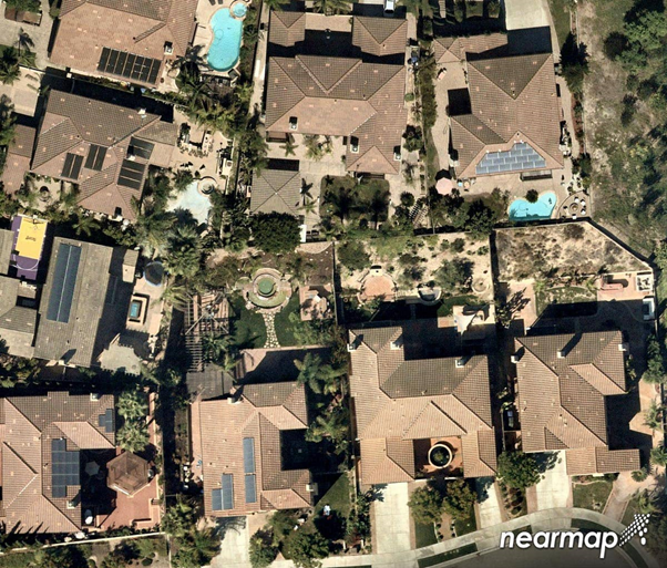
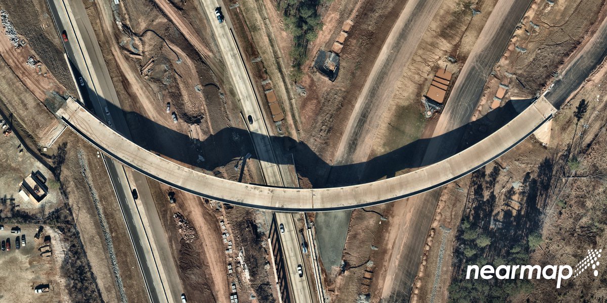
Check out this customer story from Durham Public Works
@CityofDurhamNC and see how high res, up to date aerial imagery can step up your project efficiency!
https://t.co/XnXZsrNX1r
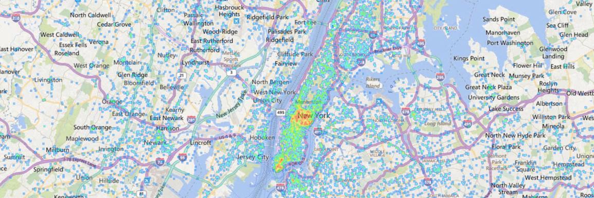
https://t.co/GzWBUN7H7X Ever tried smelling your data? Just as smell helps you place memories, location can help you place data. Not convinced? Read more ...
https://t.co/Vy9ThvAcxG Are You Making The Most of Your Data? The more people empowered to see data, the sooner a business can see valuable trends. Use #Mapcite to uncover business intelligence.
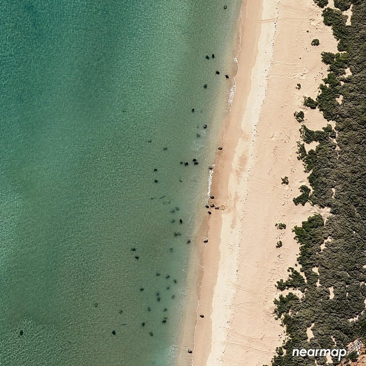
Wanted to send you off to your weekend with this sensational seaside #aerial capture of turtles 🐢 relaxing on the shores of #Australia!
*
Learn more-> https://t.co/KKxZn2pzxN
Geofencing Software Market Is Trending massively With Leading Key players – MAPCITE, com., Apple Inc, LocationSmart, … #geofencing#SaaS#LBS https://t.co/svHNEHhuxd