Started w/the 1st open digital map of Kibera. We increase influence & representation of marginalized communities thru creative use of digital tools 4 change
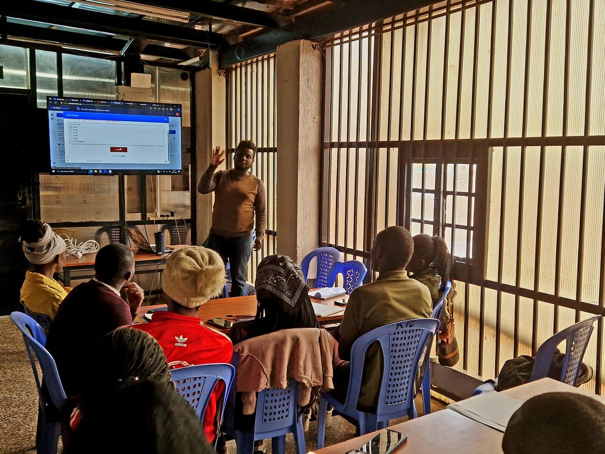
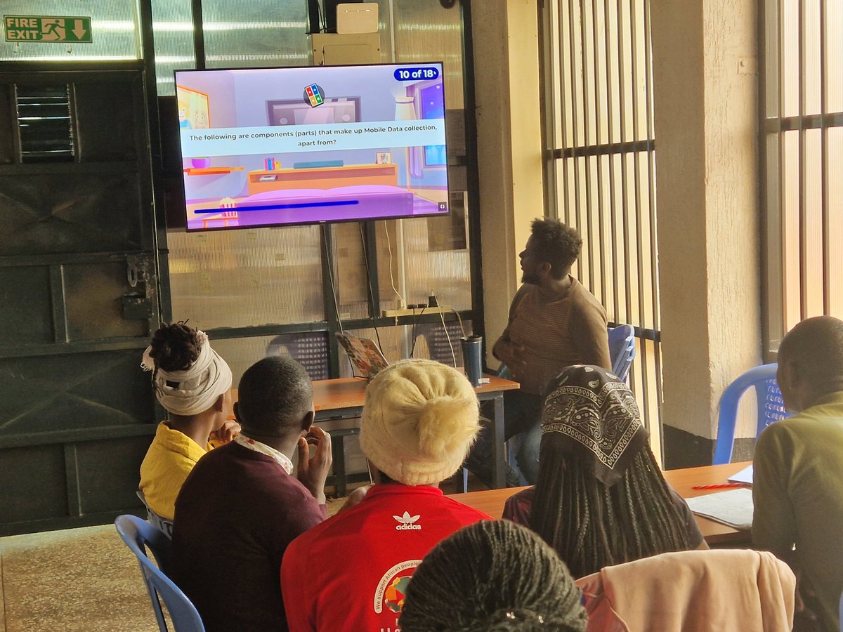
In partnership with Livelihood Impact Fund, the Map Kibera team are currently conducting a mobile data collection training session at Kibera Town Centre, led by @muindre. #EmpoweringTheCommunity#MeasuringImpact
Just how important is SDG 13 to us and our future generations? The Map Kibera team gets together for a session on the impact of climate change in our communities - As we continue work towards launching our new environmental responsibility project!
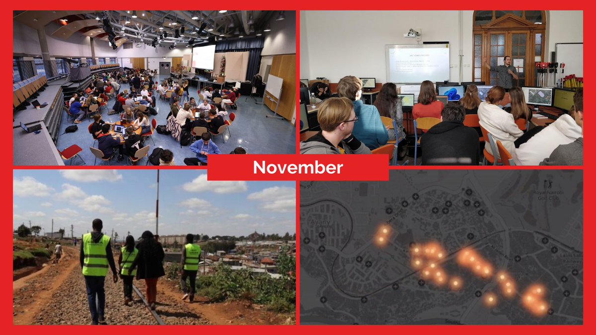
🗺⚡️Year in Pictures: GeoWeek2022 mapathons & mapping security lights with @mapkibera
During Geography Awareness Week in November, @MSF organized several mapathons that brought together volunteers from around the world for #humanitarianmapping.
With the recent rise of #inscecurity in the country, one of the solutions that could be put in place to curb the issue is the installation and maintenance of security lights. Watch this story by @KnnKibera on mapping of security lights in #kibera. https://t.co/Zk9E3eZQmi
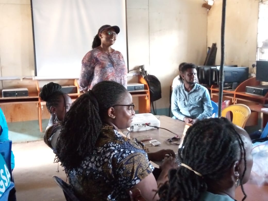
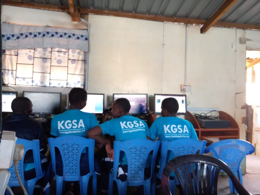
ESA Hub and Map Kibera are holding a joint mentorship session at Kibera Girls School Soccer Academy (KGSA) with Monica Nthiga Regional Director, Open Mapping Hub - Eastern and Southern Africa.
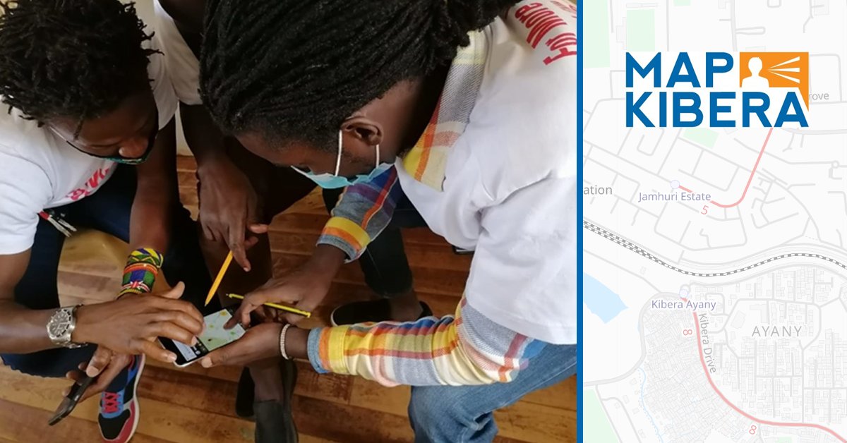
Map Kibera and YouthMappers have been conducting training on open mapping to demonstrate the importance of #OSM in identifying and addressing the different challenges facing communities within their locality and beyond.
@laura_mugeha
https://t.co/cnmeufHlog
Fell down an OSM rabbithole today... discovered the https://t.co/VK0NzanLuo - particularly amazed at the quality of OSM building data in Kibera, SW Nairobi, and then discovered the amazing @mapkibera project!
And here they are mapped! 👉#day3#polygons#30daymapchallenge
Community spotlight – Map Kibera
In November 2009, Map Kibera produced the first complete free and open map of Kibera. Young residents of Kibera learned to create maps using #OpenStreetMap techniques. More information about @mapkibera is available here: https://t.co/NSU21fNWve
Researchers and residents are turning to open-source data tools to fill information gaps about informal settlements that often get left off official maps https://t.co/3uieBENr8N via @citylab
100 Million Edits to OpenStreetMap! The collective contribution of nearly 1 billion features globally over 16 years, by over 1.5 million mappers. Changeset 100,000,000 was uploaded by user Lamine Ndiaye, adding buildings in Nianiane, Sénégal. https://t.co/FMEU5YJAOI
We are hosting the webinar "Mapping for Covid-19 Response and Resilience" on Friday, 20 Nov, at 12pm UTC. RSVP now! https://t.co/ZgX2BGnMW4
We'll be talking to reps from three OSM communities - Humanitarian Mappers, @mapkibera, @mapuganda - as well as the Covid-19 Activation Team
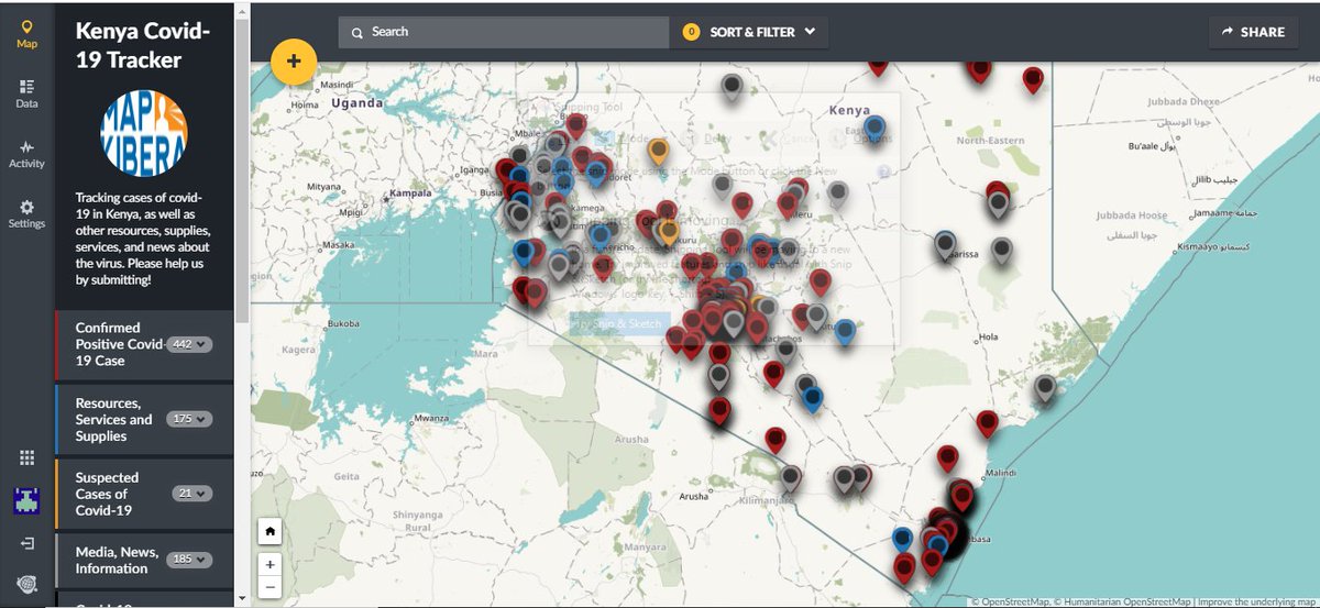
.@MapKibera is mapping Kenya’s largest slum to slow the spread of #COVID19 . They've added over 1000 points of interest on the Ushahidi platform including handwashing points and food, mask, and soap distribution points. They've also hosted 4 training sessions for 20 participants.
“[We’re working to] ensure that the people of Kibera and other informal settlements are not left out during this pandemic.”
A community effort to map Africa’s largest informal settlement has turned into a local resource for essential needs during the coronavirus pandemic.
Thank you to @hotosm, and all our donors via @GlobalGiving! We are working hard on https://t.co/hpgqWZq5a3 - keep checking back for more updates! We’ll soon be adding many more health features on the @openstreetmap basemap. @ushahidi#OSM#COVID19
Looking forward to seeing the developments of @mapkibera and @OSMKenya in their effort to combat #COVID19 in Kibera, Nairobi 🇰🇪 with the support of the @hotosm micro-grants scheme: https://t.co/qAIqZJPEm7