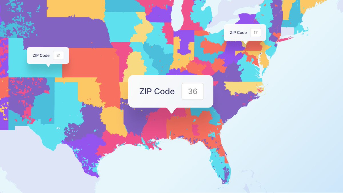
Postal code nuances frequently cause data errors and #geocoding failures when building checkout flows, delivery zones, or spatial analytics across borders.
See how global #postcodes work under the hood and how to structure spatial data for seamless geocoding.
Link in thread 👇
New aerial photography of Florida is here 🐊
We’ve refreshed the Sunshine State with crisp 2025 imagery at 30 cm/px, bringing crystal-clear detail to coastlines, suburban areas, and key infrastructure.
Explore the rest of the latest update in the first reply.
Announcing our next #Heapcon2026 speaker: Maciek Próchniak (@MapTiler)!
Ever wondered how routing and digital maps work under the hood? Maciek dives into map algorithms, open data and efficient data structures in "Maps and territories."
🎟️ Tickets: https://t.co/Un9nswnCqH
MapTiler Icon Sets now live directly in your account so you can build a set to use across multiple maps, and keep them in sync. #WebMapping#MapDesign#Cartography
Read the docs, the link is in the 1st reply 👇
🗺️ Are you passionate about maps, geodata, and building services that people rely on every day? Join us and shape the technology behind geocoding, routing, search, and elevation services used around the world! Sounds exciting? We'd love to hear from you 👉 https://t.co/3FKfZASNVq
MapTiler's Directions API beta is ready for you to join! 🚛
Find out more about the first API we are building for our new approach to enterprise #routing in our latest blog post! Follow the link to sign up: https://t.co/6if6G9yjwq
Show users exactly where they are going. Animate routes on your map to preview hiking trails or highlight tourist flight paths. Sync #3D models and dynamic cameras with precise path data. Get more info and links to the code examples in our blog: https://t.co/ejgmrUbwhg
Stop compromising. Start combining.
Our new map icon sets let you choose the best icons from each set you have and use them all on one map: https://t.co/64mNe0H0yw
Drop your favorite map icons in the replies 👇
#WebMapping#Cartography
We break down our upcoming Routing #API suite (Directions API in beta now) in our latest blog post: terrain-aware routing, predictable pricing, one unified platform.
Read it here: https://t.co/mEGBhMNYNS
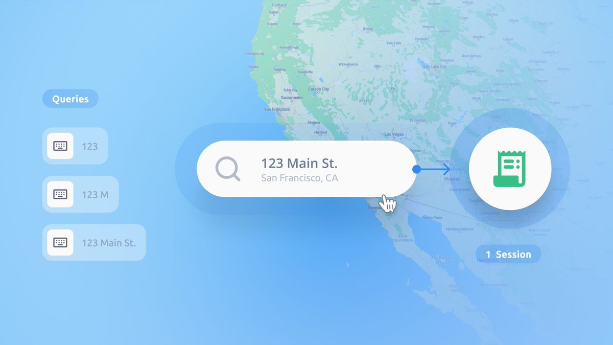
Map search costs shouldn't be a guessing game. A single MapTiler #Geocoding Session allows up to 10,000 requests or 6 hours of use. Get predictable bills for your mapping projects. Read our blog for more info and links to the SDK setup guide: https://t.co/wnQnPtl1rB
shoutout @MapTiler
came for satellite mode tiles for https://t.co/CT6eDadrvt
stayed because the new map stack has datasets that made me go “wait… I can do what with this?”
one small feature later, users win, I look like I planned it.
Give your users better map search results. Configure the MapTiler #Geocoding control to limit searches by bounding boxes, draw custom areas, and prioritize nearby places. Read our blog for more info and links to the API reference: https://t.co/DEiCNUG4DG
Tell a better story with your #Geospatial data. Our #AnimatedRoutes give you the creative freedom to build cinematic map journeys. Sync dynamic cameras with #3D models and custom markers. Read our blog for more info and links to the code examples: https://t.co/WTUtJPJIHA
Georeferencing splats is straightforward. Upload your .ply files and use our visual #3D editor to position, tilt, scale, and rotate them with precision. See how: https://t.co/MzBM4oA7qH
#GaussianSplats#GaussianSplatting#WebGPU#3D#DigitalTwin
Add autocomplete to your maps without blowing your budget. MapTiler #Geocoding Sessions count multiple searches and typing suggestions as a single session. Stop fearing keystroke anxiety! Get more info and links to the docs in our blog: https://t.co/wnQnPtl1rB
MapTiler GeoSplats are now live! Boost #UserEngagement with photorealistic #GaussianSplatting directly to your interactive web maps without the complexity. Read more: https://t.co/MzBM4oA7qH