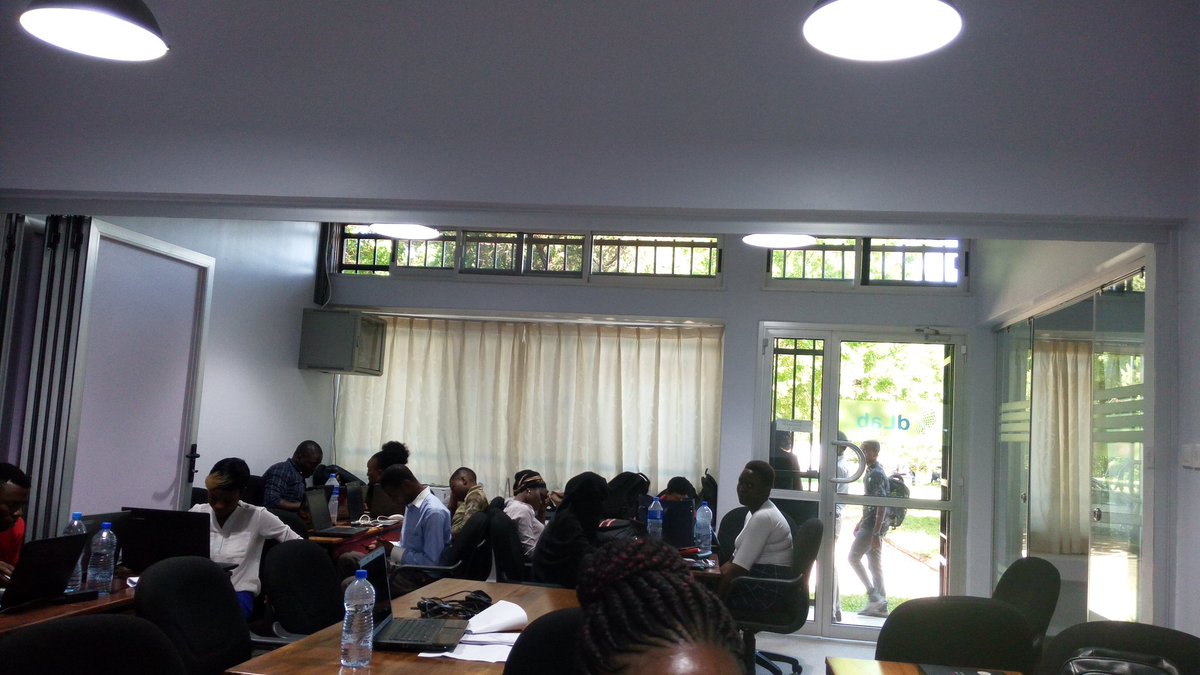
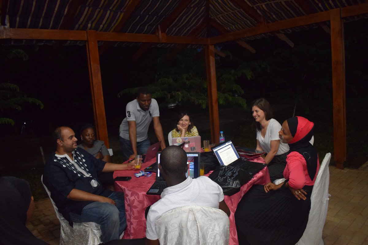
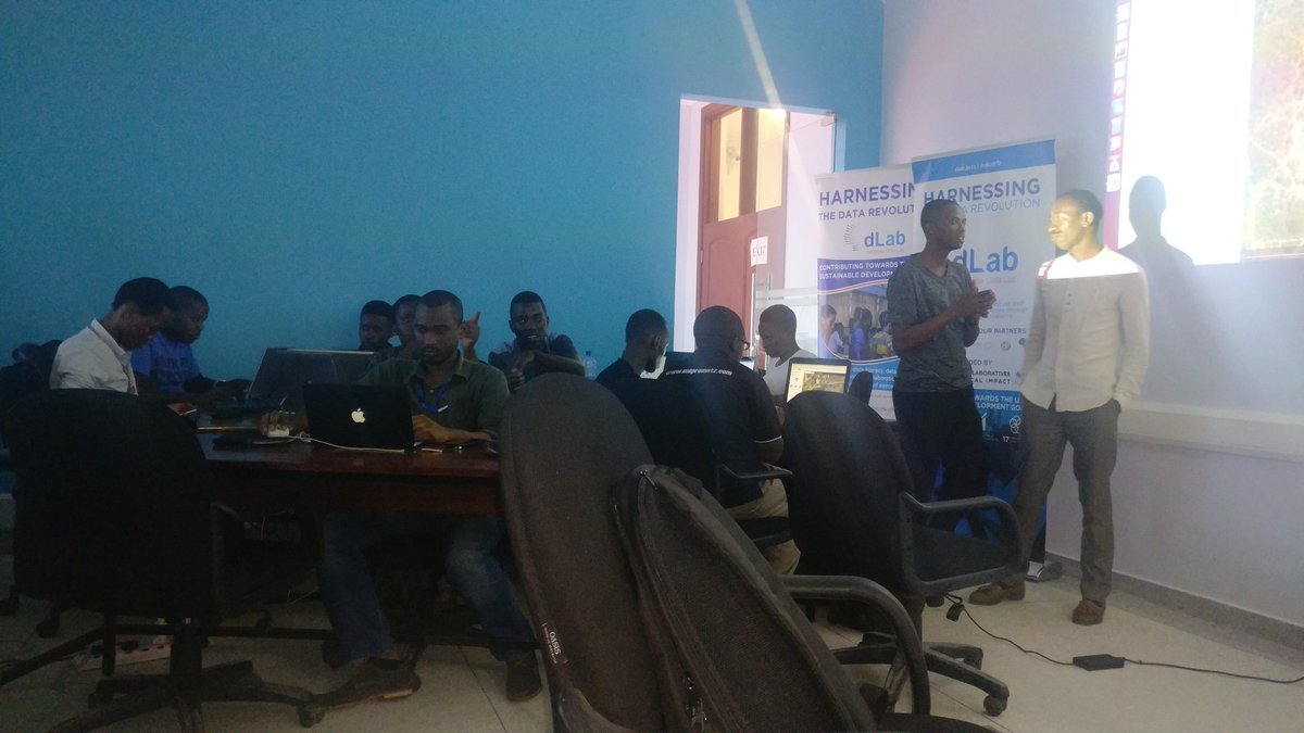
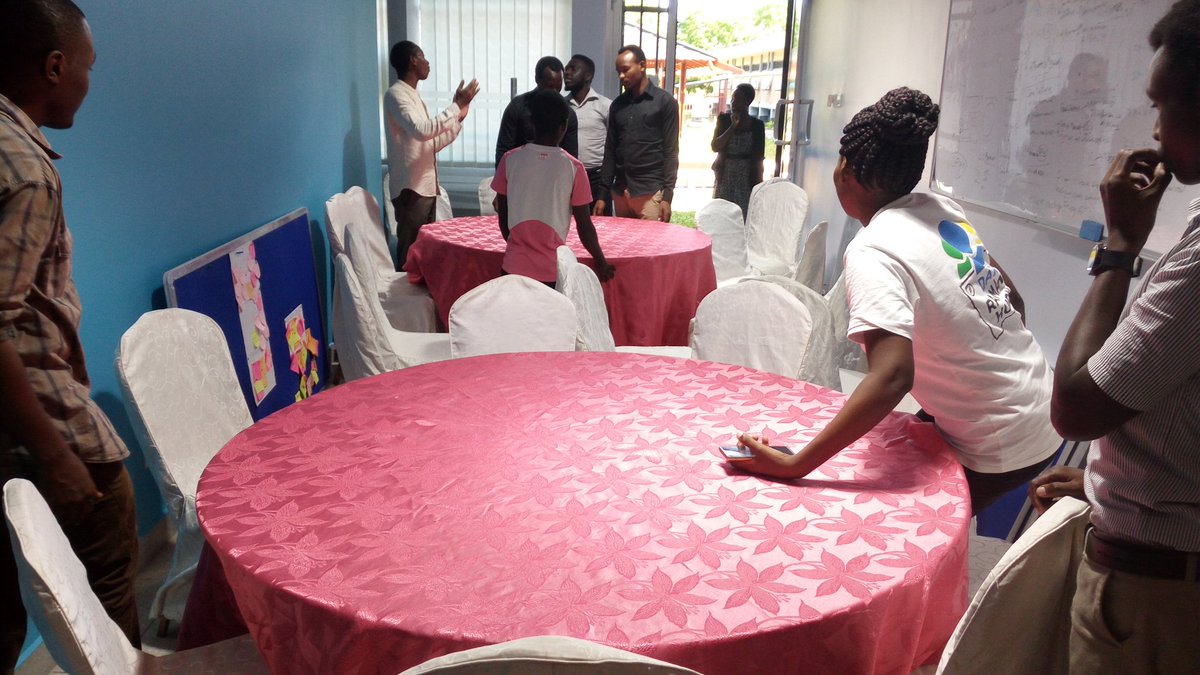
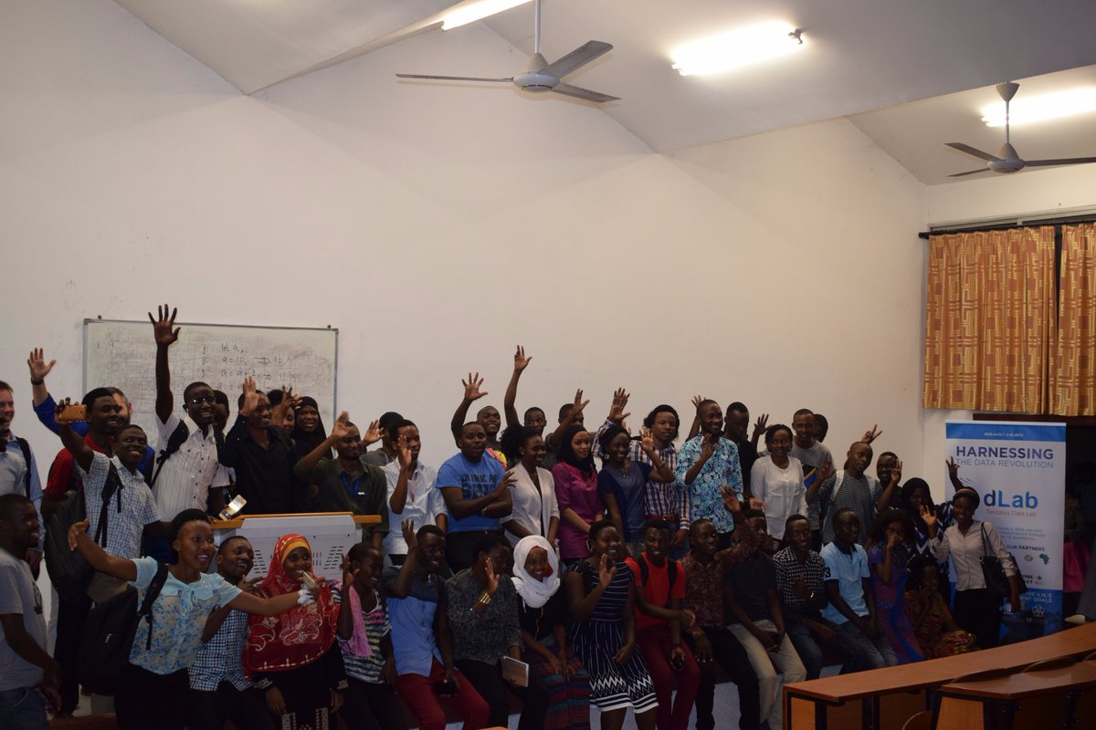
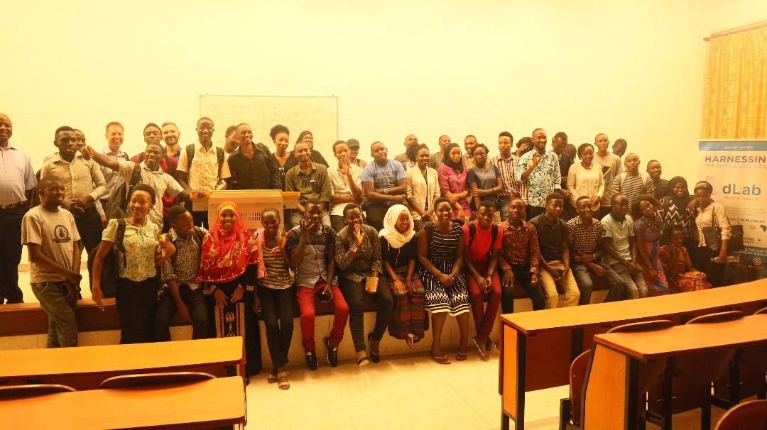
We're excited to hold an Open Data Day event on 7th March in collaboration with @Crowd2Map and @dLabTz. Interested? Register at https://t.co/wdyBdlpf4T to not miss a chance to participate in workshops, training, and talks around #opendata
#Msimbazi of Opportunities
2/3…
From projected cash flows from other activities w/in the Msimbazi valley, cost recovery on capital expenditure would be reached over a period of 12 years, at an expected internal rate of return of 18%. #Tanzania#Cities#DarEsSalaam#today
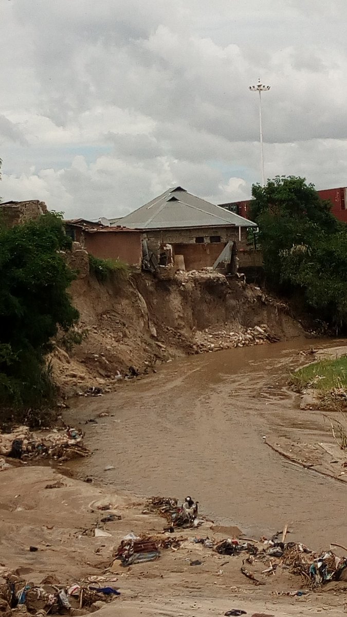
A resident of Kinondoni District Mr Lwambo Machele, moving some of his belongs from his #flooded house in Mwananyamala ward, Msisiri B subward, #DaresSalaam.
#Flood2019#floods@OMDTZ@hotosm
Source: Mwananchi
Photo Credit: Said Khamis
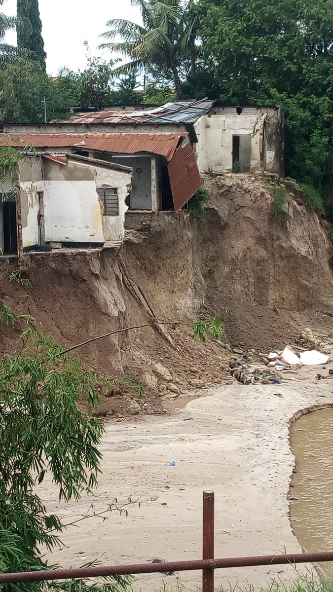
Let's not watch families lose everything, risking their lives each year to survive devastating #floods while fingers pointed to them (community) "why can't they relocate".Lets work together for a more permanent solution. RH is doing damage assessment and develop #flood risk maps
Experts, Government, Stakeholders and the general public needs to join hands and use use possible resources in tackling #floods in #daresalaam. We need to stick together and plan a permanent solution to make the city free of #flooding. Lets not sing the same song next year!
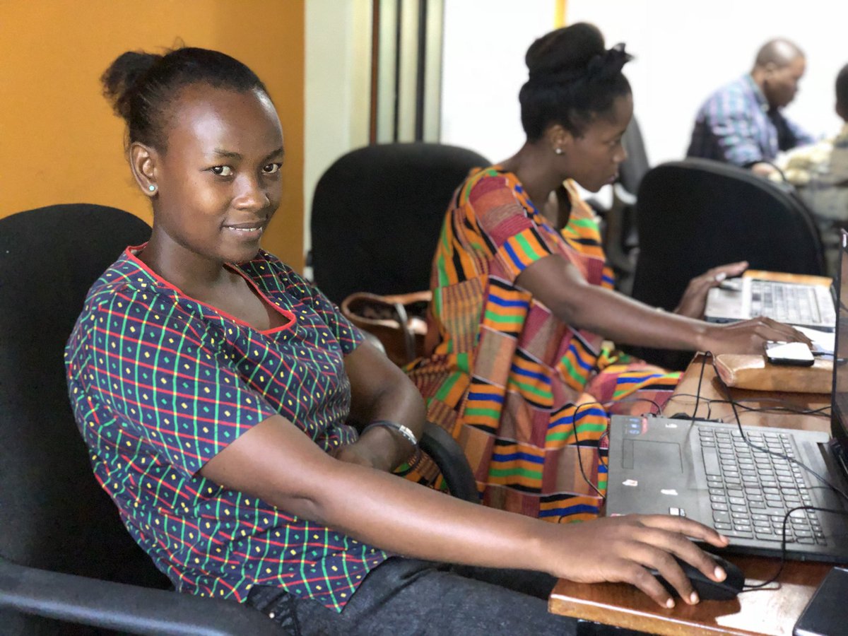
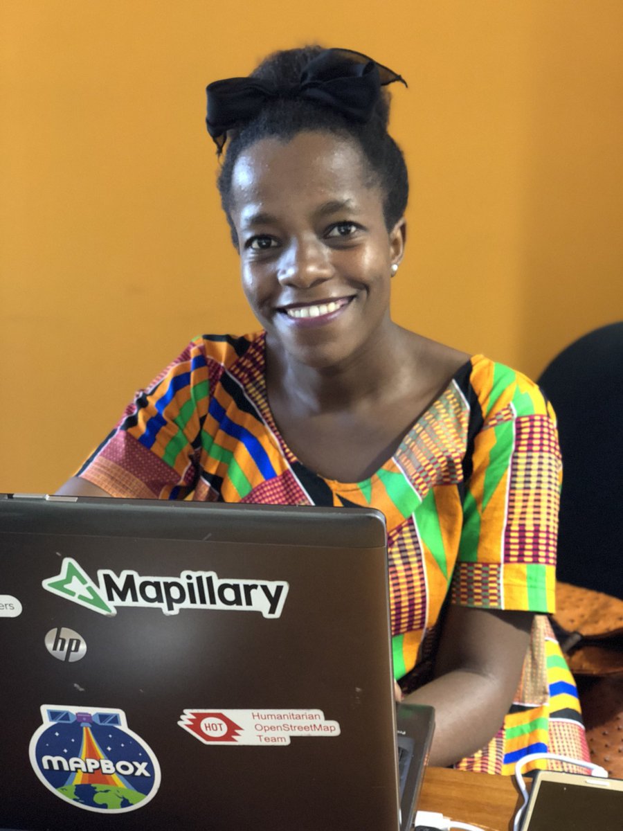
Collecting data on building structures, data will be used to model exposure of buildings to disasters. The model will be used to support humanitarian operations and help in reducing the number of casualties during disasters like floods.
#humanitarian#Meteor#floodresilience
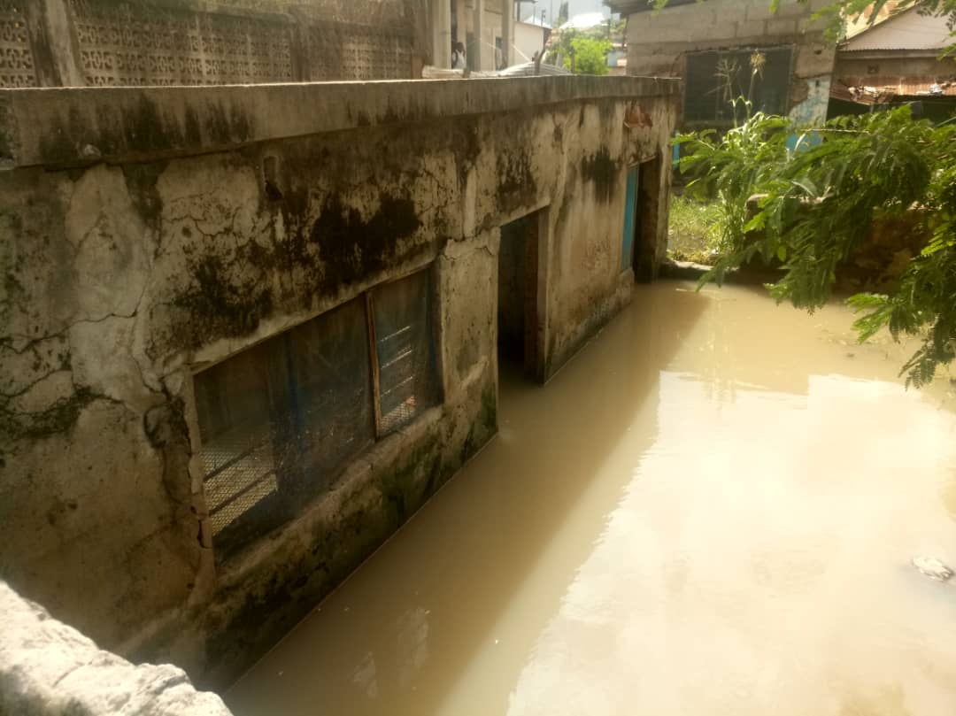
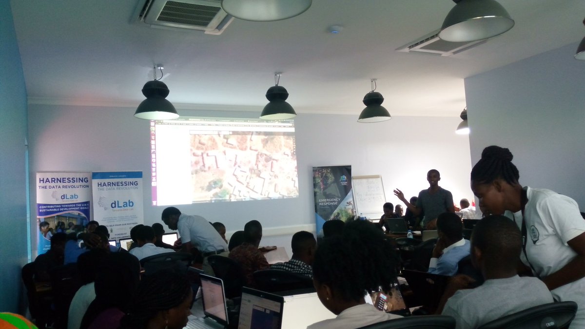
Flood modeling (mostly for prediction purposes) has witnessed up-surging interests in past decades. However, it has always been criticized to be site specific, as it requires detailed landscape-based inputs. RH is mapping drainage details of Dar es salaam to develop such model