Our new service gauges the condition of your river or stream and produces a score. It also informs how you can improve the habitats and the score by making interventions. If you find this stuff interesting read more from our website: https://t.co/rNtI2eXhTg
@StormGeomatics are recruiting Trainee Surveyors at our offices in Shipston on Stour and Bristol. Watch our recruitment video and apply now: https://t.co/hpmUOpP5vE
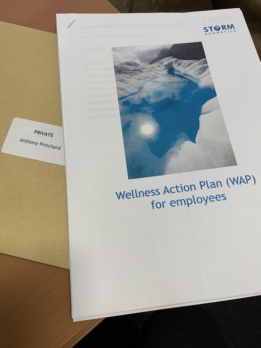
This week sees us implementing our Wellness Action Plan for everyone at https://t.co/r1KAPeyI5Z 🙏 to @BrittHounslowSG who recently completed various mental health & wellness training for pulling this all together. Looking forward to making positive & proactive changes for all.
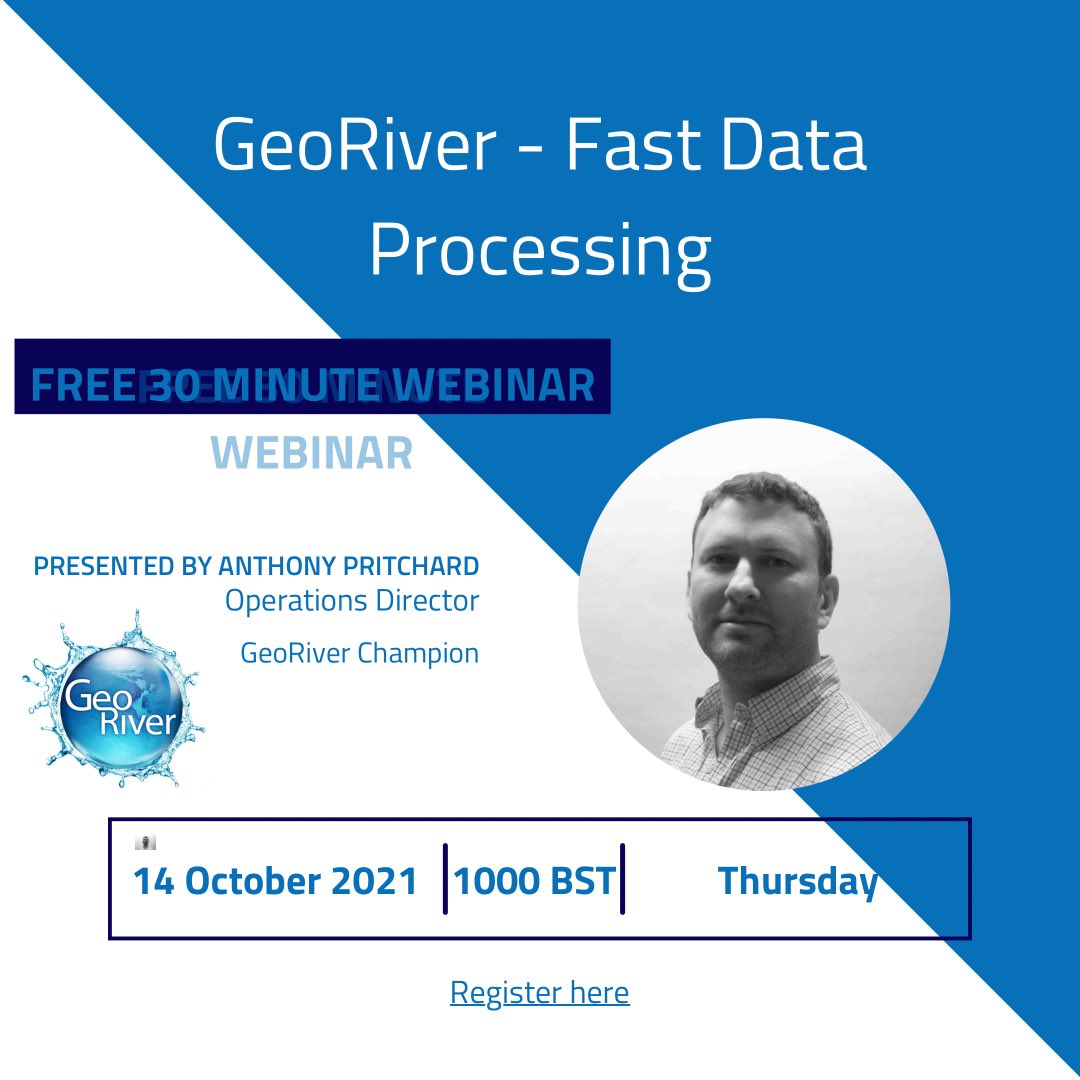
GeoRiver v 1.5.4 is launched today!
Head over to https://t.co/Hc7hro5Azh to download the software now.
Follow up with an email to [email protected] to acquire you trial licence and see how you can reduce your processing time and start saving money today!
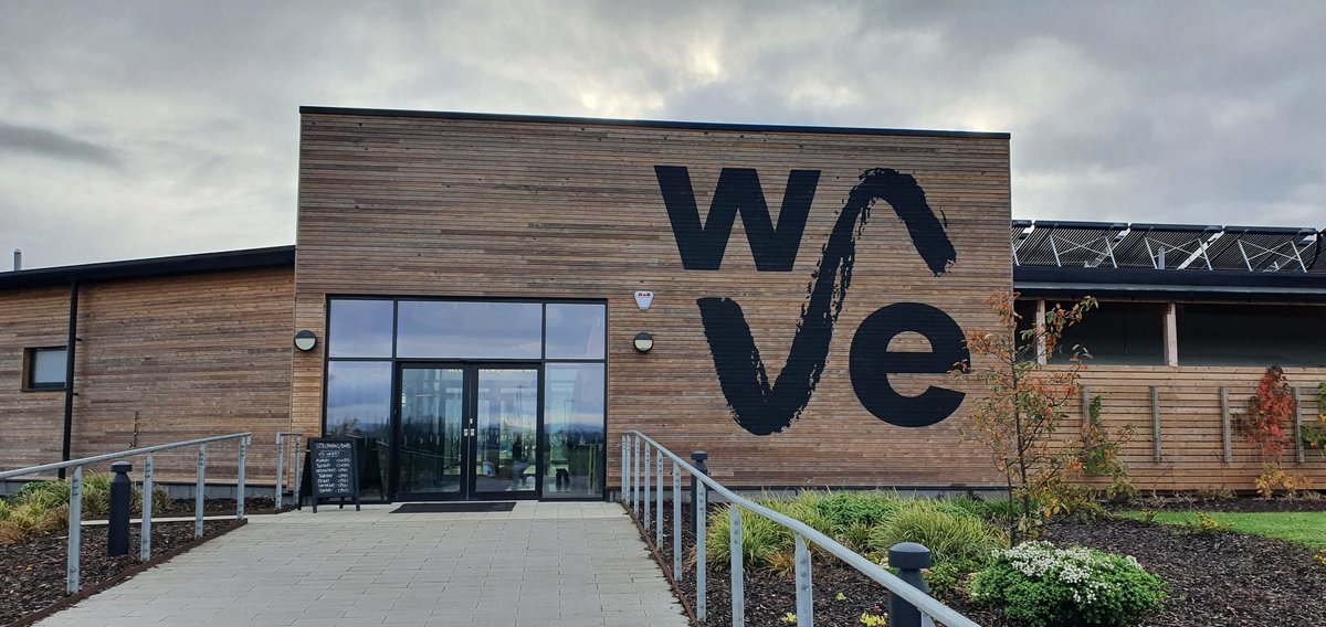
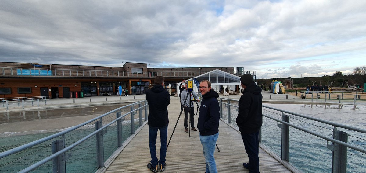
Great day out surfing and looking at all the newest survey kit from @KORECGroup today! Some incredible kit out there for surveyors today! Thanks to @RobJ_KOREC and the rest of the team! #surfing#surveying
"GISGRO has brought us further contracts and recognition as leading practitioners in our field." Check out how step change is occurring in the land survey profession https://t.co/BTUB6Uf2Vo
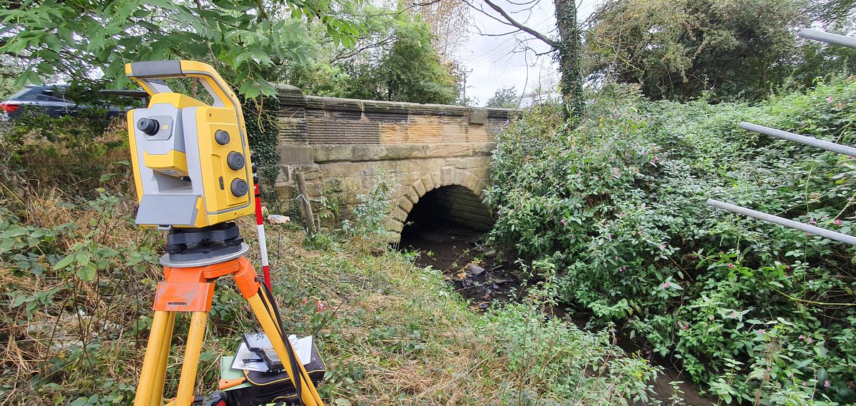
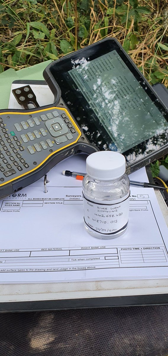
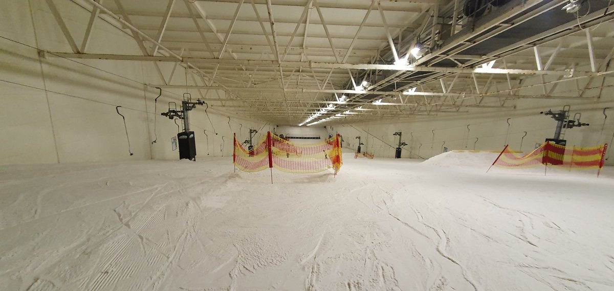
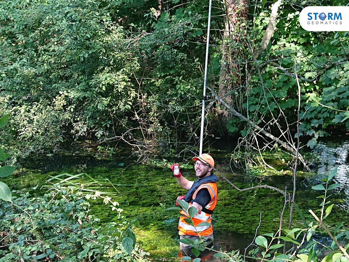
Finishing up a large channel survey in South Yorkshire this week. More phosphate samples collected to support @StormGeomatics build a picture of pollution across the UK. Couldn't resist some time on the slopes in the evening too! #flooding#fakesnow#surveying
@StormGeomatics Staff Summer BBQ on Monday 9th August, BUT DON'T PANIC, we will still be taking your calls if you need us 😉 Normal service to resume on Tuesday ............
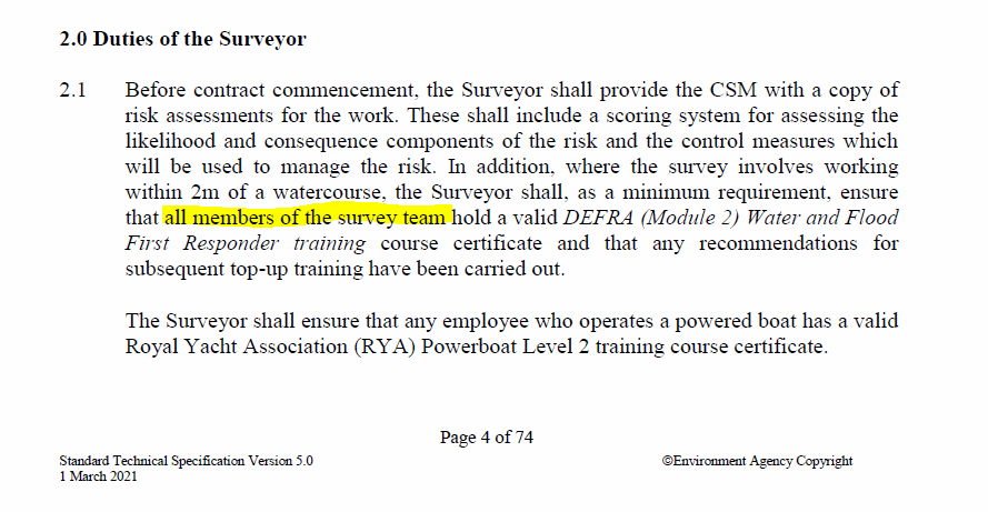
Did you know that if you are surveying a river on an @EnvAgency contract it is now a minimum requirement that everyone on the survey team has the DEFRA (Module 2) Water and Flood First Responder training. @BristolMaritime deliver this. #progress H&S.
Completing a #floodplain mapping survey this week to assess habitat regeneration options. Most of the team @StormGeomatics have a Physical Geography or environmental background & are well suited to identifying paleochannels & historic features on a project like this. #habitat
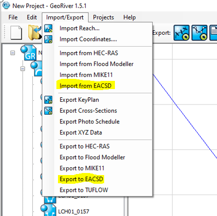
GeoRiver® imports and exports #EACSD data INCLUDING structures. This allows you to validate the content of an EACSD file visually and then transfer it into your preferred modelling software - with structures. #efficient#workflowautomation