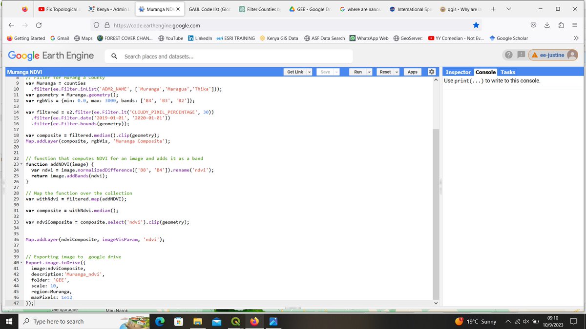
Normalized Difference Vegetation Index of Murang'a County using sentinel-2 imagery and Google Earth engine. NDVI detects and quantifies the density of vegetation greenness, density, and health of an area using reflected light in the visible and near-infrared bands.
#GEE#QGIS
@ItsWahome The power of geomarketing helps in addressing the question of "where" to set up a new business. #GIS plays an important role in target marketing, market segmentation,market share analysis, site location and customer profiling based on psychographics and demographics.
#RIC2023
Ready for the second day
Today's key note address:Data platforms and how to improve data access and sharing. Data access and integration provides important insights and aid in making better decisions to create value.
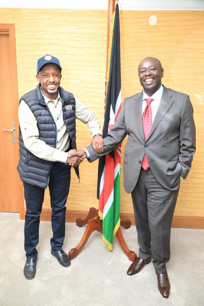
I had the pleasure to meet with H.E. Deputy President @rigathi Gachagua and congratulated him upon their win during the August Elections.I wished him all the best as he seeks to serve Kenyans and deliver on their promises.@StateHouseKenya
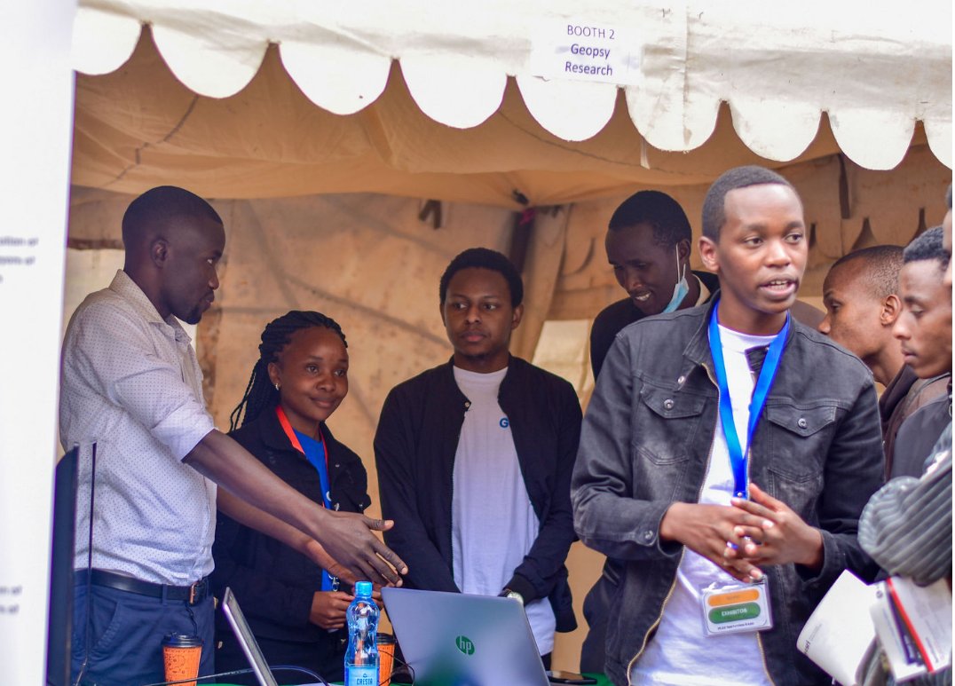
Mentorship in various aspects of #Geospatial workflows is one area that we have excelled in at @geopsy_research. The first step is usually to know the needs of our mentees.