🤝 RCMRD and the University of Khartoum Consultancy Corporation (UKCC), Sudan, have agreed to strengthen collaboration in geospatial science, research, capacity development, and data sharing by signing an MoU.
The partnership will leverage the expertise of both institutions to advance GIS, Remote Sensing, UAV applications, resource mapping, joint research, and project development in support of sustainable development and informed decision-making across Africa.
#collaboration
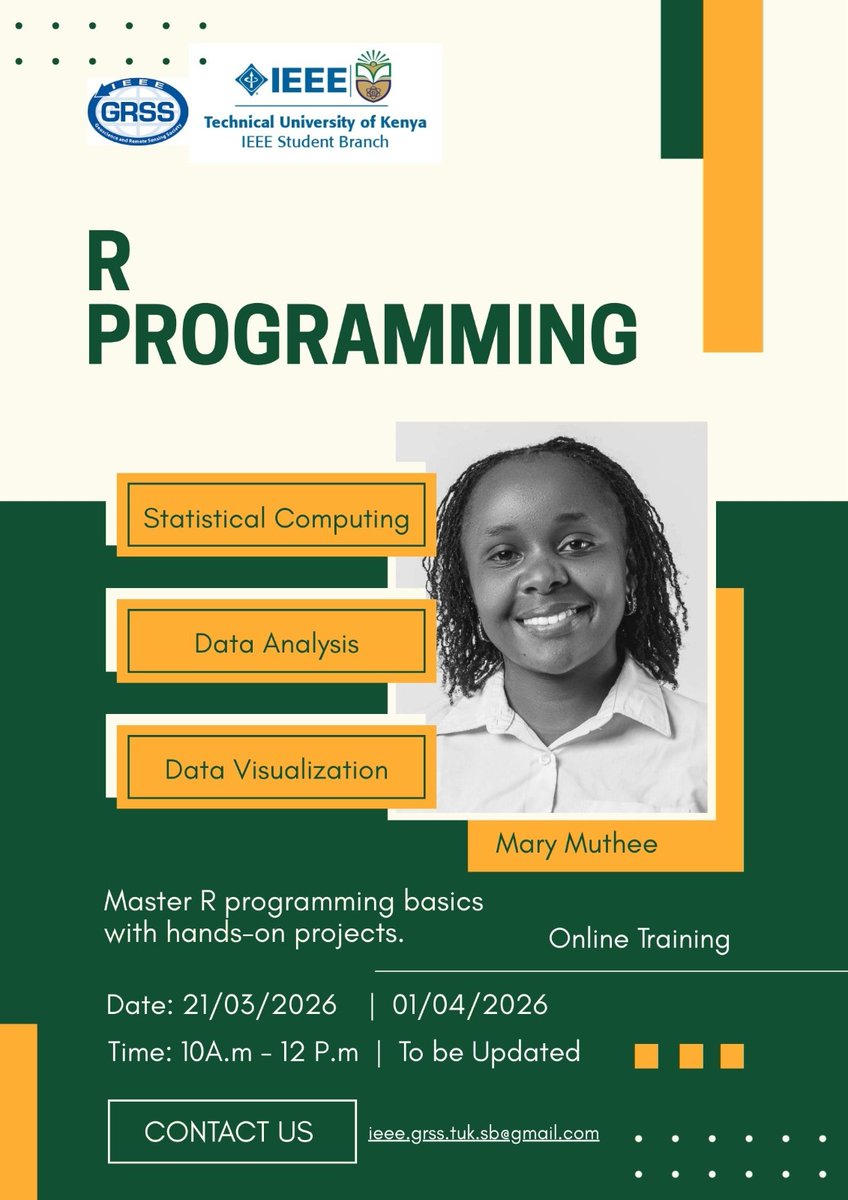
Join us on 21/03/2026 for a hands on-training on R ,The training will be beginners friendly.
Registration link- https://t.co/66kEVFWcpq
#geospatial#R#GIS#GeoAI
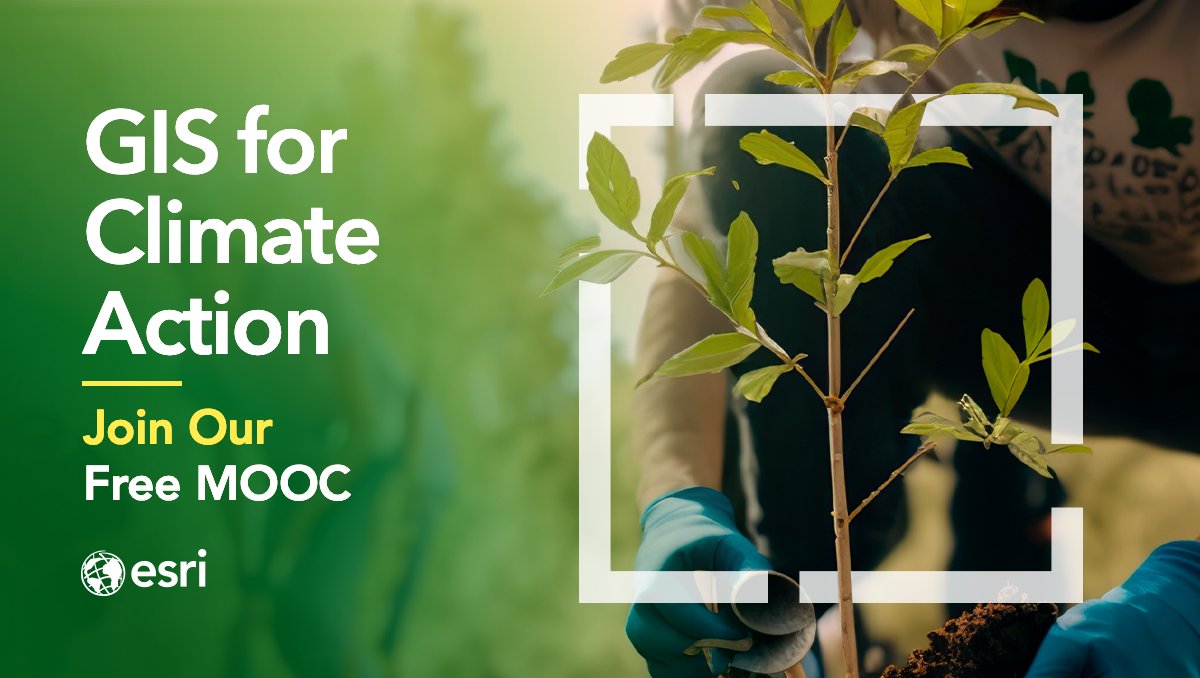
ArcGIS Pro 3.3 is here!🤩 If you want to test it out—for free—join our #ClimateMOOC: https://t.co/IU9FlDGpD5
In section 2, you'll learn how to use @ArcGISPro 3.3 to:
🌱Reduce greenhouse gas emissions
☀️Identify solar energy potential
See you online! @deepseadawn@esriypn@esri
2️⃣0️⃣ days until our #climateMOOC opens! Save your spot → https://t.co/P0xrwIOaTM
Join the free course to:
🔹Build new skills to tackle climate change
🔹Learn from climate science experts
🔹Get ArcGIS software access
Retweet if you'll be joining! 🔁 @deepseadawn
"We are delighted because they are vital tools we have been looking forward to acquiring to strengthen our capacity to discharge our mandate in the protection of wildlife and combating other environmental crimes" - DG NESREA
Invitation to join our Monthly RoundTable Platform.
This Month we shall be hosting Prof. S.O. Akindele who is a Professor of Forest Biometrics and a great role model in the field of Forestry in Nigeria.
It promises to be great.
Please Join us.
see flyer for more info.
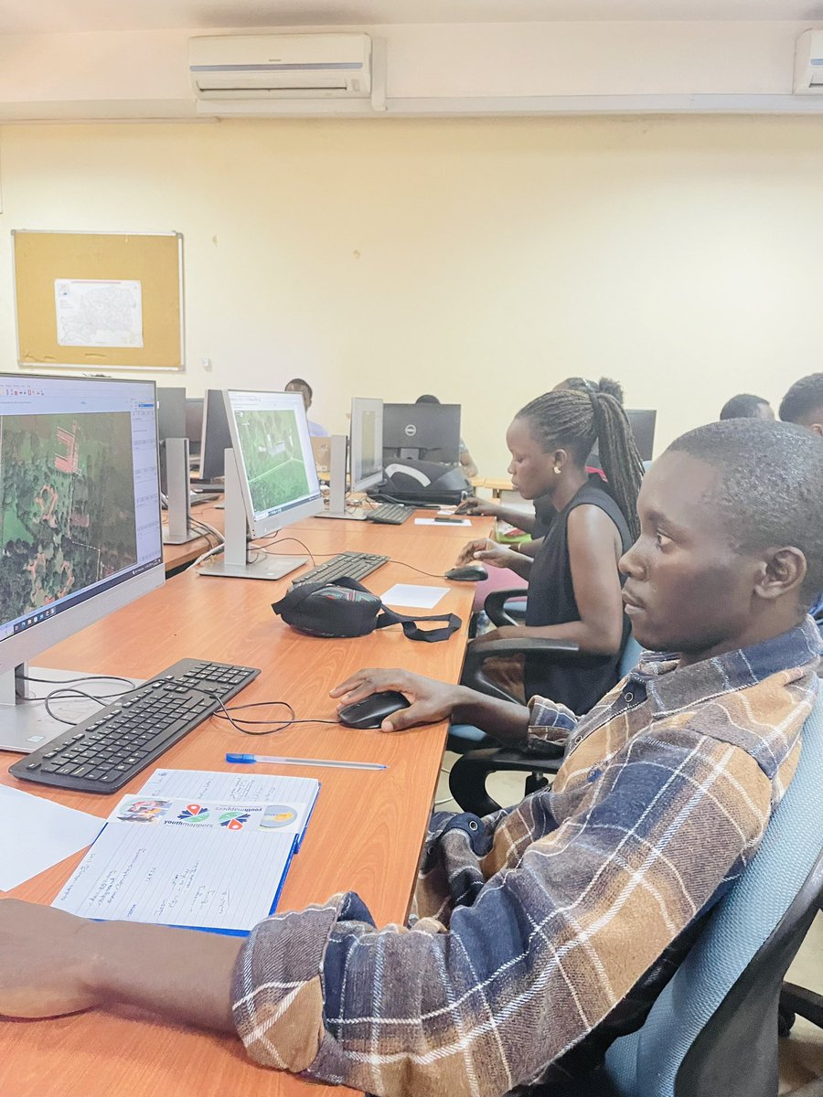
@chris_r_v_s@0mgould Thank you very much, I used the QGIS Software to delineate wetlands, Rivers, Roads and Mountains, on a plantation Compartment, while i did some geoprocessing of Orthomosaic and DEM data collected from Drone images after being exported from Agisoft.