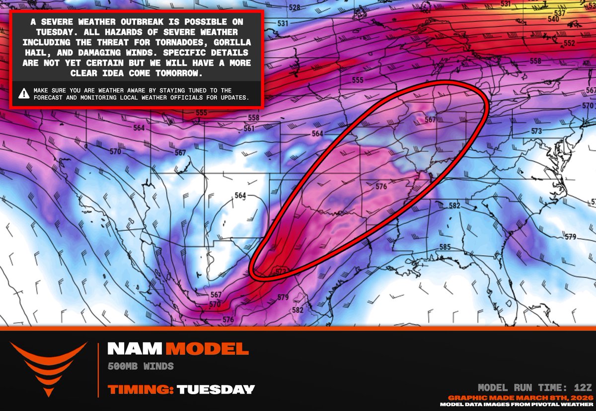
SEVERE WEATHER OUTBREAK EXPECTED Tuesday, March 10!!
A massive warm sector is expected to develop ahead of another potent trough ejection, wuth severe weather and tornadoes possible from Texas to Illinois. Right now, forecast models are showing a warm frontal zone in northern Illinois that could enhance the daytime #tornado threat up there Tuesday PM, but aldo a dry line in western OK/TX ahead of the trough. I could see these two target areas having the potential for significant severe weather.
We will be activating live #stormchasing mode regardless of the target area selected. Stay tuned for updates as the forecast evolves
Thank you @PettusWX for these incredible graphics
The Gordie Howe Bridge, April 2nd 2025. These storms skirted Windsor around 10:00pm. One day I’ll figure out how to properly focus this lens. #onstorm#onwx#shareyourweather@GordieHoweBrg
As the first chase of the season in the new girl gives me a shelf. God I love chasing
Winds are violent. My car is be rocked back and forth #ONStorm @ECCCWeatherON
One of the deadliest tornadoes in U.S. history is headed directly for their high school graduation.
The Twister: Caught in the Storm premieres March 19.
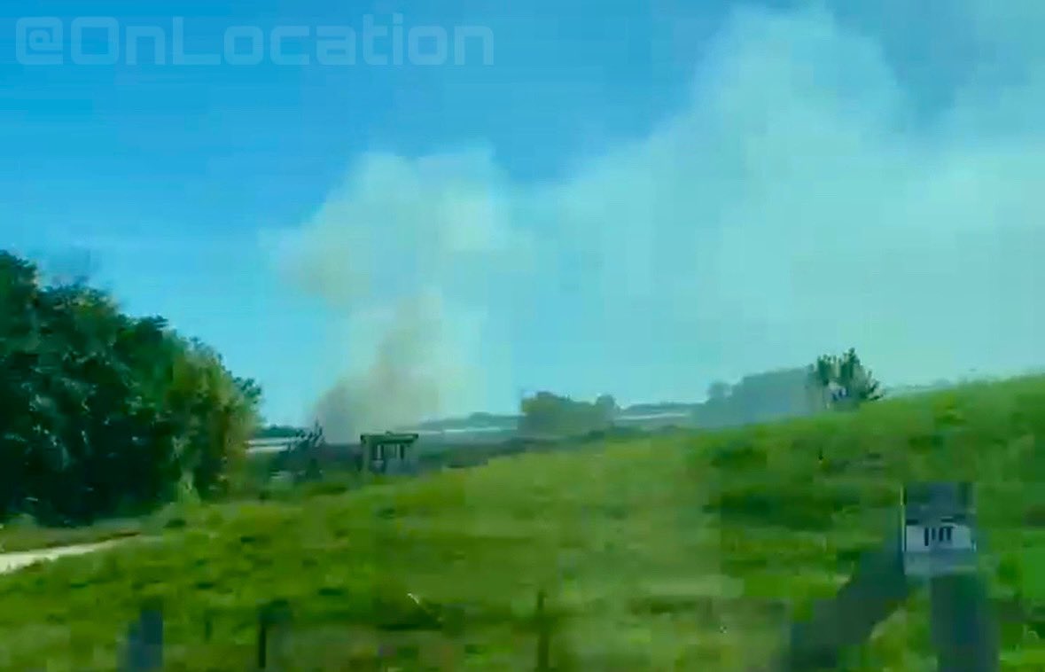
STRUCTURE FIRE - Leamington
10:30am
- @LeamingtonFire1 & @KingsvilleFD Crews are on scene of a large structure fire in the 300 block of Mersea Rd 3 between County Rd 31 & Morse Rd. Heavy black smoke showing on arrival. Fire attack and tanker shuttles underway. @OPP_WR on scene for traffic control. @EssexWindsorEMS on standby. #Leamington
ADVISORY: #HHOPP is advising the public about an increased police presence in the area of @HaliburtonCty Rd 503 and County Rd 3 west of Gooderham due to an ongoing investigation. Please lock all windows and doors and shelter in place. ^nk