A video recorded on 31st October 2025 in Swindon, UK, captures the rapid development of a squall line that produced a very brief but intense burst of weather. The clip shows gale-force wind gusts accompanied by extremely heavy rainfall, lasting for roughly 10 seconds.
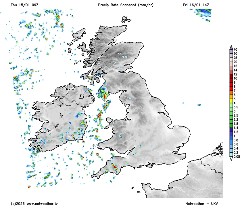
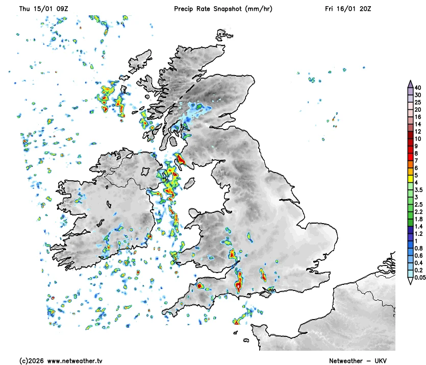
Tomorrow we're going to be seeing showers feeding in from an uncommon S/SW'ly direction. There's a risk of a thundery component to these, likewise with the ones pushing in through the evening.
Those south of Wales & Midlands that may just see rain, sleet or wet snow that doesn't settle with Thurs/Fri Channel low, there may be another chance early Monday, as a frontal system moving in off Atlantic bumps into cold air.
12z ECMWF shows more of backed cold SE flow, due to a more negatively-tilted trough/front approaching, which would support this. Other models less backed / -ve tilted, so snow confined to further north.
Certainly the 'warm-up' that was showing from Sunday is being pushed back or may not happen at all and it stays cold.
@CityAndy2@JakeGru79480243@WxMidlands@ChadWeather It’s weird coz it was a 30% chance shifting south and 20% chance shifting north so something is a bit off , it was basically the model with least confidence that has won the trend atm
@JakeGru79480243@WxMidlands@CityAndy2@ChadWeather I agree, I think surprises will be everywhere with this low pressure system. Would be surprised if there was snow outside the yellow warning with accumulations too
HOLY SHT 🚨 This young black man in the military said it PERFECTLY: “if you don’t like America go to another country b*tch. I love this country I protect this b*tch”
SIGNED,
Every MAGA Patriot
Weather experts, it may be a bit far away but how much snow do you reckon Swindon could see on Thursday night into Friday morning?? @Met4CastUK @loki_weather @NickJF75