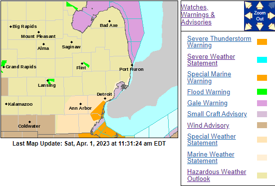
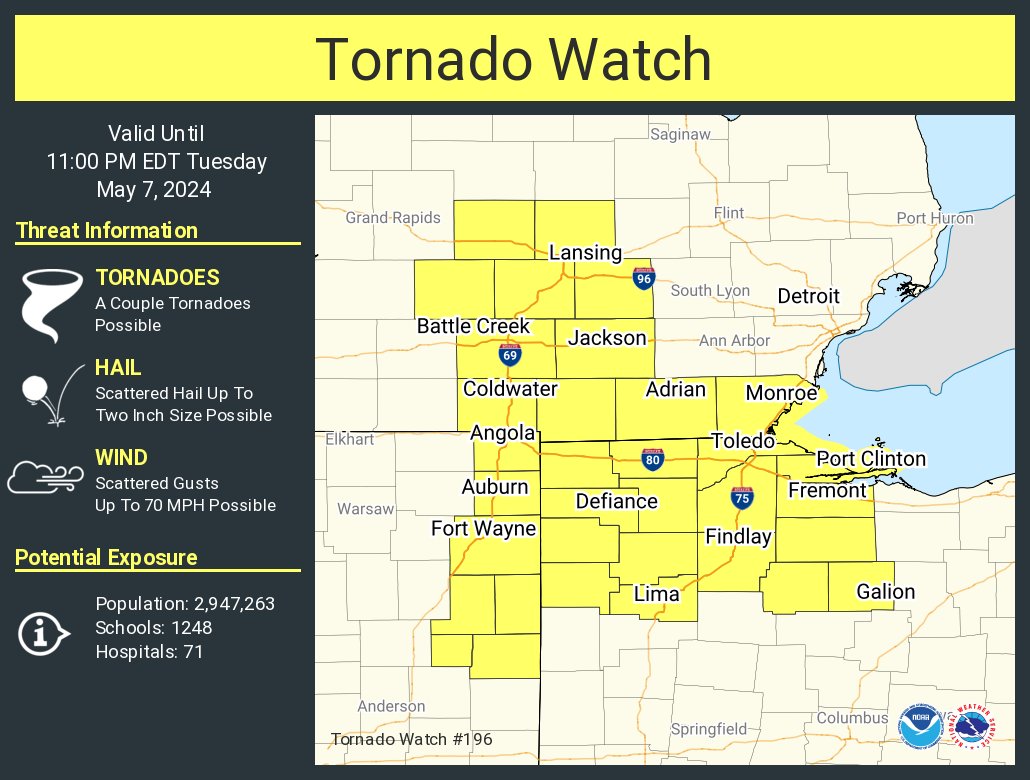
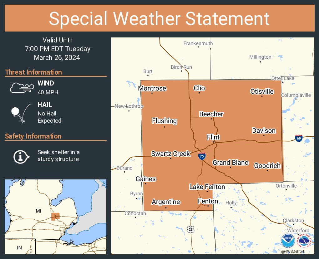
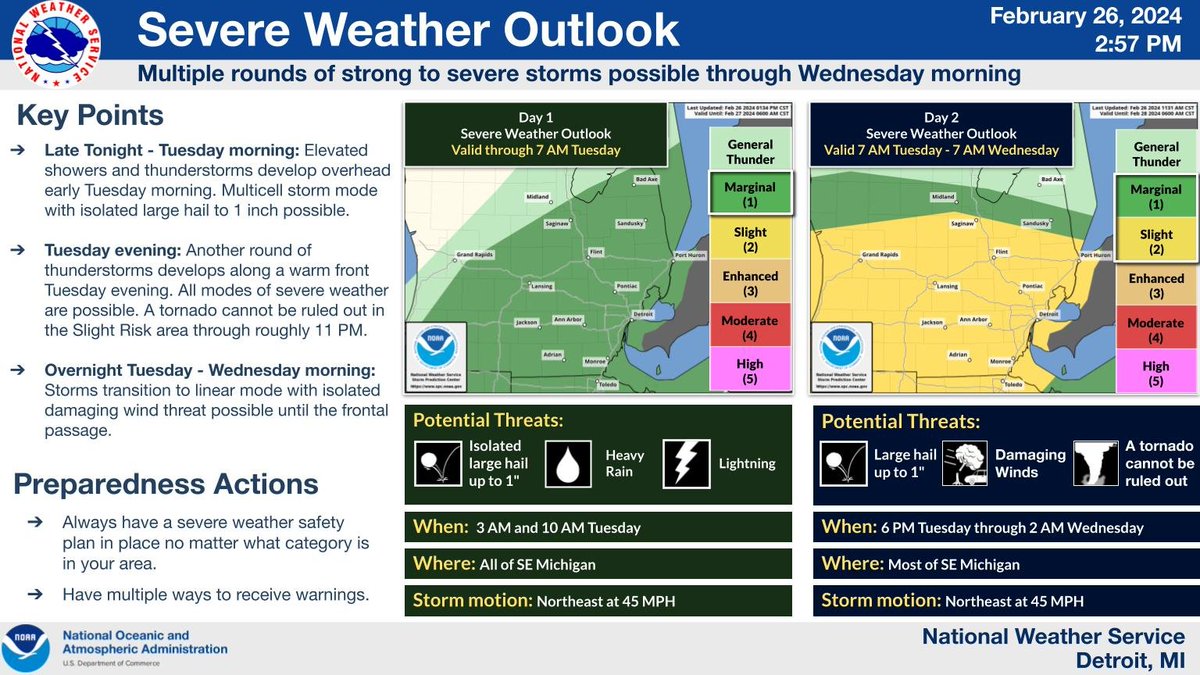
Multiple rounds of strong to severe storms are possible tonight through Wed morning. First chance tonight and a better chance Tues evening into the overnight. Here is the latest severe weather outlooks for SE MI. #miwx
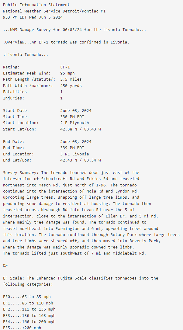
A confirmed tornado, causing EF1 damage with winds up to 90 mph entered Livingston county last night near West Branch Red Cedar River. The tornado tracked east-northeast to I96. The storm survey is still ongoing and more details will be released later today.
Severe thunderstorms are possible Wednesday. These storms will be capable of producing tornadoes, as well as an organizing line or cluster posing a risk for severe wind gusts, hail, and tornadoes. Monitor the forecast for updates and start preparing now. #miwx
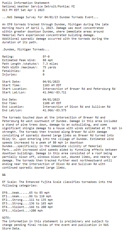
An EF0 tornado was confirmed in Dundee, Michigan from late this morning. Much of the damage was focused in the downtown area. https://t.co/6yYTYAs3Q7 #miwx
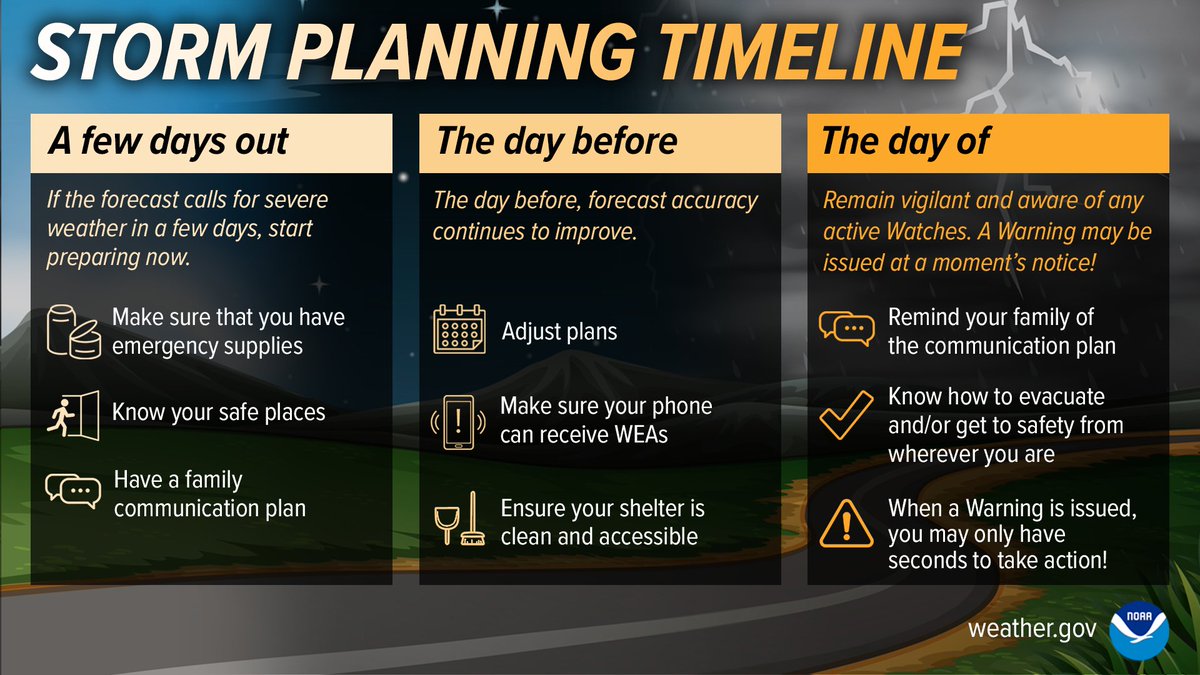
Don’t wait until the day of the storm to begin protecting yourself. If the forecast calls for severe weather, begin preparing NOW. Stay Weather-Ready.
https://t.co/ovTPG63fci #MIREADY
Next week, March 19-25, will be Michigan’s Severe Weather Awareness Week with a Statewide Tornado Drill happening at 1 pm ET on Wednesday, March 23. Use this week as your opportunity to practice a tornado drill. Learn more: https://t.co/mnyR0IMg0v #mitornadodrill#MIREADY