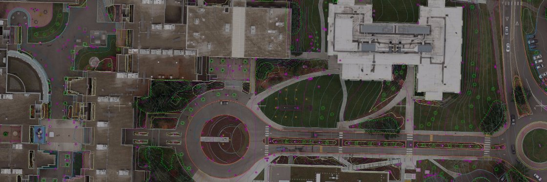
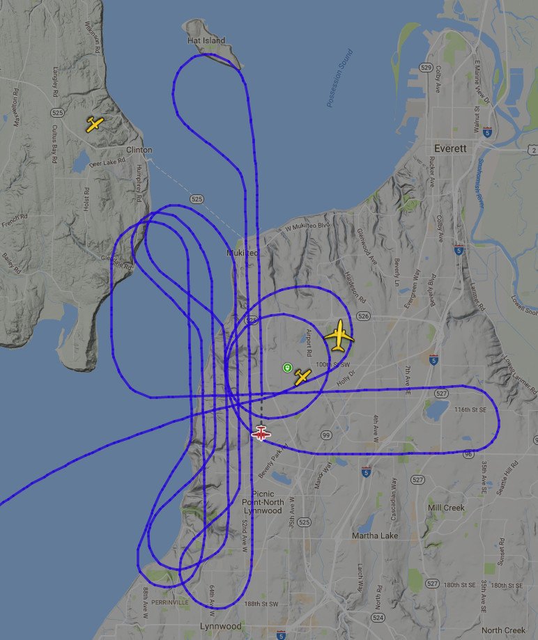
MCA helps keep air travel safe by mapping airports and obstructions to their surrounding airspace. Using the data we collect, aviation engineers design improvements, and the @FAA designs instrument flight procedures for safe, efficient airport approaches.
One of our owners, @JeffKenner has been published in @xyHt Magazine's Heights 2019 issue. It's an article about the complexities of Airports GIS surveys. Read it here: https://t.co/pcDHdKFUDj #AGIS#Airports#Aviation#Part77
This is a project for which Miller Creek Associates supported the design by preparing high accuracy aerial mapping. #GIS#USACE#Photogrammetry#Coastal https://t.co/4qgf6mHhWM … @SeattleDistrict