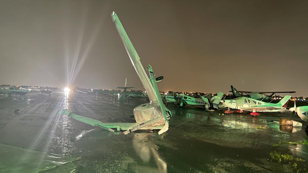
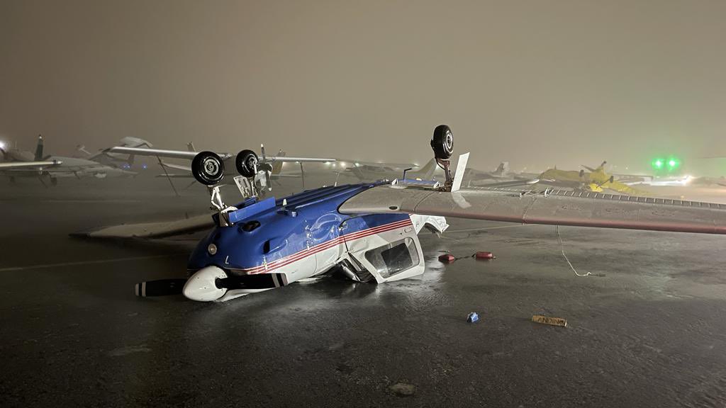
In the aftermath of the storms across Missouri, we’re on duty all night.
🚨 Rescue Efforts – We are currently trying to locate & assist those in need. Call 911 or *55 for help.
🚧 Keep Safe – Avoid downed power lines, pay attention to road closures, and check on your neighbors.
🚔 Theft Prevention – Unfortunately, storms can attract looters. We are patrolling affected areas to prevent theft and protect property. Report any suspicious activity immediately.
Tonight is an example of why we need the National Weather Service and all their meteorologists
They are out there tonight saving lives during tornado outbreak and they are doing it with less
Commendable job NWS.
#ARwx#MOwx#tornado
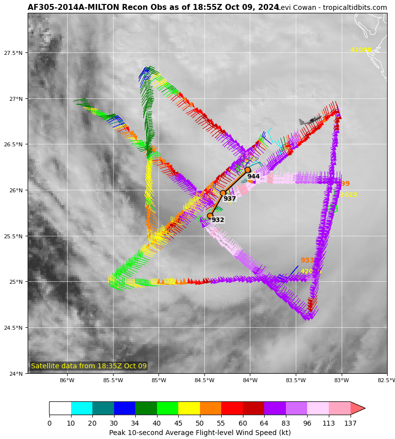
Hurricane #Milton continues to move northeastward toward #Florida. Current 3-hour storm motion based on positions from hurricane hunter aircraft would carry the eye into Anna Maria Island at the entrance to Tampa Bay if nothing changes. However, hurricanes wobble, and several hours remain until landfall.
When I say this was the roughest flight of my career so far, I mean it. I have never seen the bunks come out like that. There was coffee everywhere. I have never felt such lateral motion.
Aboard Kermit (#NOAA42) this morning into Hurricane #Ian. Please stay safe out there.
Overlaying building footprints reveals that this won't just be an inundation of the tidal zone. Thousands of buildings will be underwater in Cape Coral alone.
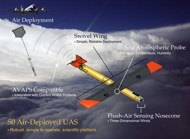
"On the 4 am mission this morning into #Ian, the NOAA P-3 launched a new small uncrewed aircraft system (sUAS) called the Altius 600. It was the first ever launch into a hurricane. At 24.5lb, the sUAS was able to withstand the storm in regions that the crewed aircraft cannot go"
Breaking: Major Hurricane #Ian is now up to 155mph sustained winds, just 2mph shy from Category-5 intensity. There's a good deal of lightning activity ongoing in the eye-wall, indicating this storm may not be done from intensifying just yet.