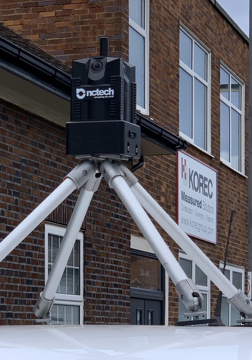
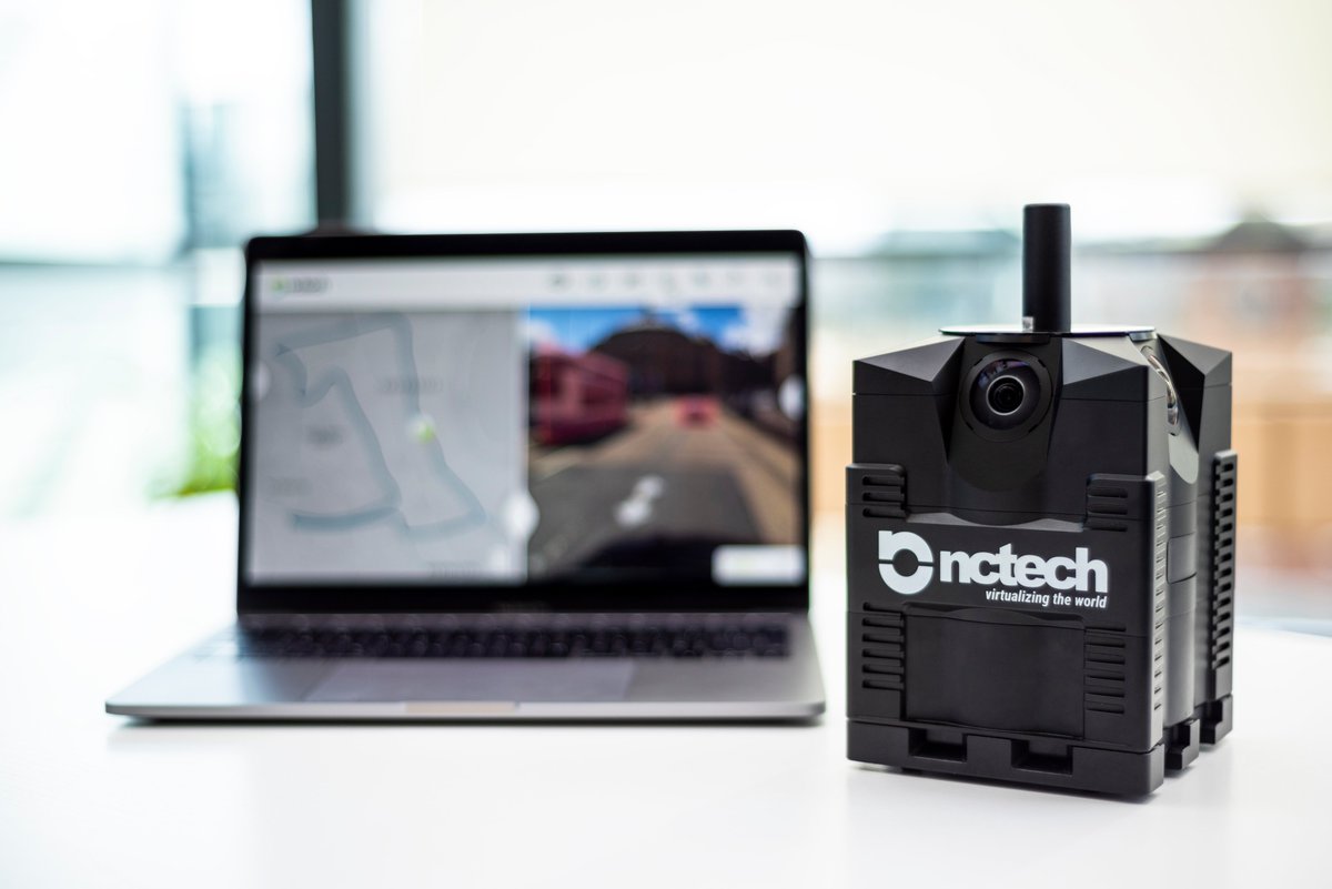
New Tech Tuesday! Testing the @NC_Tech iStar Pulsar camera linking with our @KOREC_K_MATIC K-Portal cloud software to create an all new vehicle mounted highways inspection solution. @KORECGroup
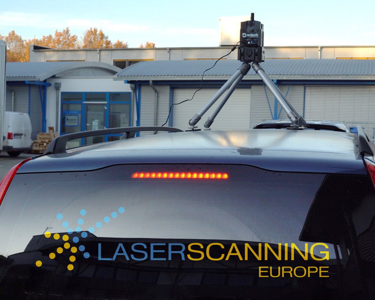
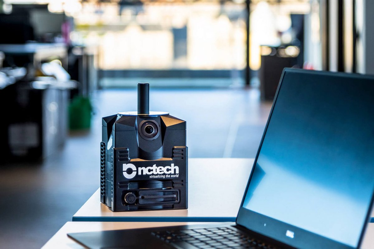
We are proud to announce that Laserscanning Europe are now positioned to support sales of our iSTAR Pulsar+ compact mobile mapping system!
If you are interested in becoming an NCTech partner or reseller, get in touch with our channel sales team:
https://t.co/SXUcBtwZOl
We are pleased to announce the latest version of our iSTAR Pulsar firmware v2.5.5 has now been released.
This update makes sync improvements and fixes bugs and we encourage all users to update to the latest version:
iSTAR Pulsar firmware:
https://t.co/fcoVOhqCir
We are pleased to announce the latest version of our iSTAR Pulsar firmware v2.5.4 and an update to our iSTAR Pulsar App v3.1.13.
App:
Android:
https://t.co/EvPINHjNWJ
iOS:
https://t.co/upmLR9K81I
iSTAR Pulsar Firmware:
https://t.co/mt5I0jfx3H
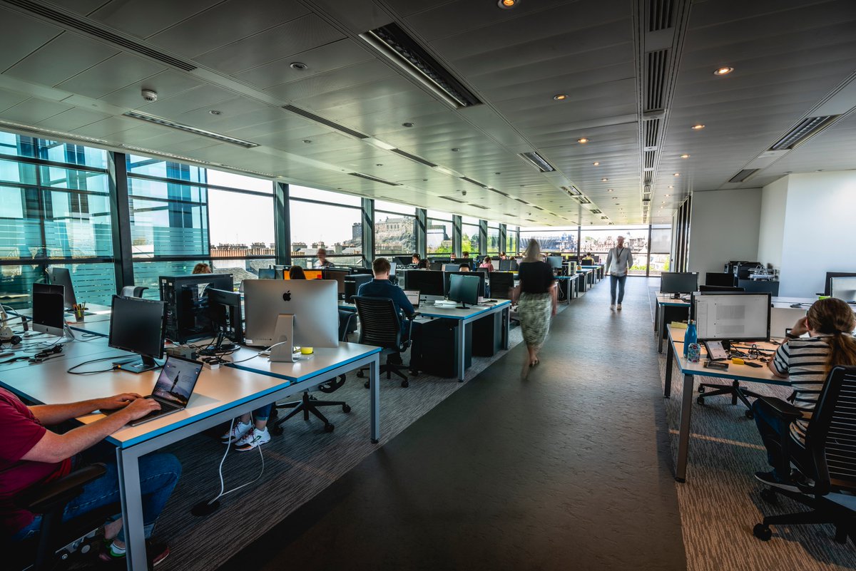
We have a new role available for motivated candidates!
Join a rapidly growing and developing #tech environment and enjoy the raft of benefits we offer.
Apply now and help NCTech Imaging make virtual worlds possible for everyone!
https://t.co/j1HGf61mpq
#HiringNow#techjobs
One of the most exciting aspects of our line of work is coming up with new applications for capturing Street View imagery on untapped terrain with our @NC_Tech Pulsar camera. Take a look at some of the areas we've tackled so far!
https://t.co/RDRaaA9OpI
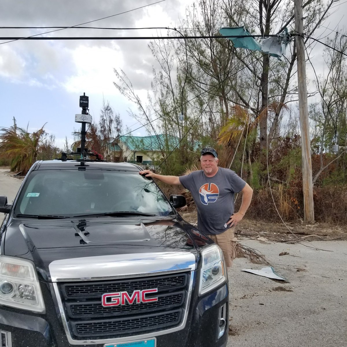
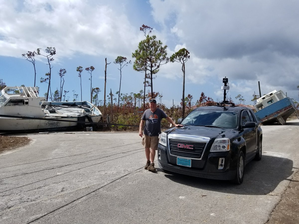
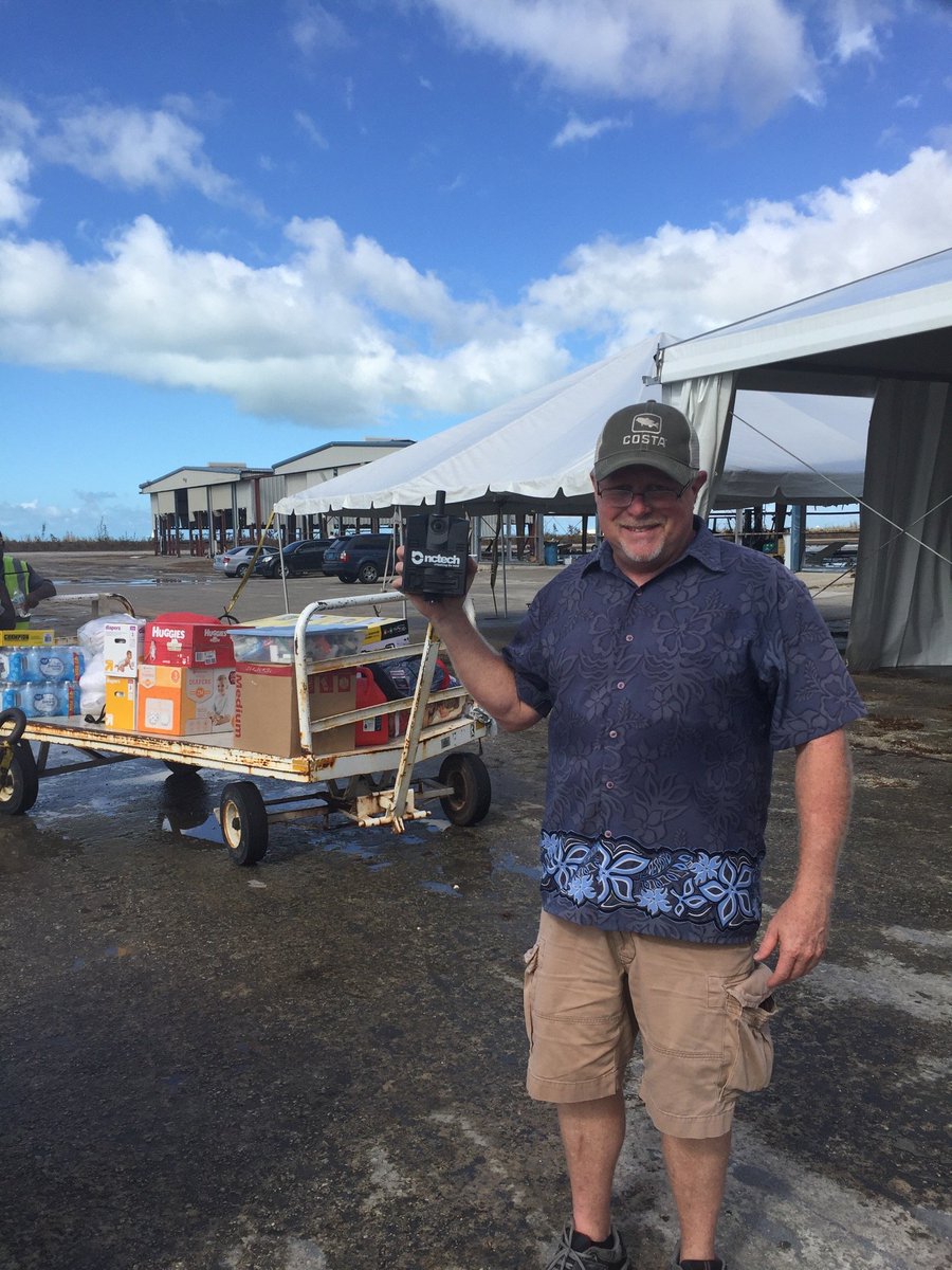
We collected 63 miles worth of 360 imagery on our first day in the #Bahamas, proudly assisting the Structural Extreme Events Reconnaissance Network (StEER) in an effort to improve structural resilience in the face of large storms such as #HurricaneDorian#BahamasStrong
@NSF@NHERIDesignSafe 2 of 2: As part of the Rapid Imaging Team, we’ll be collecting 360-imagery of key target areas with the @NC_Tech iStar Pulsar camera.
To learn more about this collaborative effort to build resilience for future events, visit: https://t.co/4s607uwOaW
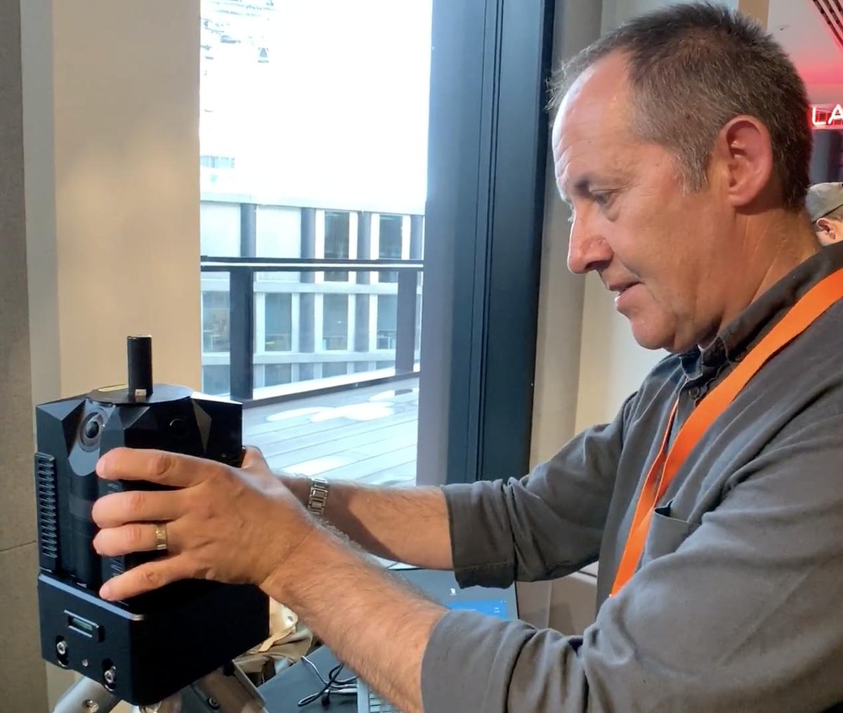
Our Technical sales director, Andrew Baddeley, discussed our innovative mounting systems for iSTAR Pulsar with WGAN at the Google Street View Summit last week.
Find out about how these mounts are designed to make capturing imagery simple and efficient:
https://t.co/CO36GQwOpA
The latest version of Immersive Studio, V.10.0.12 has now been released!
Head to the NCTech Imaging support site to find out how to update your version of Immersive Studio to the newest iteration:
https://t.co/5ZU8GiJZ3s
The last day of @InsideIntergeo is here, so it's your final chance to learn about our latest products firsthand from our team at this event!
Head across to Hall 4, Booth B4.020 to find out about our innovative solutions and the #ZEBdiscovery, our integration with @GeoSLAMLtd!
With day 2 of Intergeo underway, head over to hall 4, Booth B4.020 to find out more about NCTech's latest big data solutions!
Meet our team of industry experts to learn about how our innovations can benefit you and your business.
#BigData#INTERGEO19#exhibition#integration
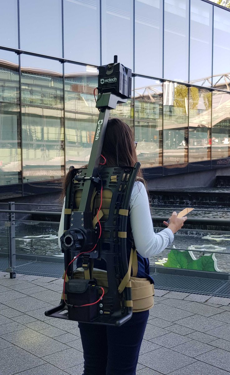
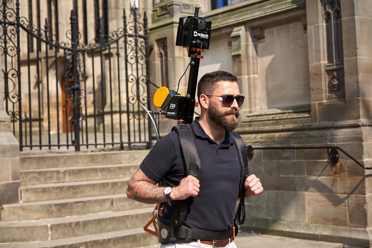
With the start of the #INTERGEO19 we're excited to announce our integration with partner @GeoSLAM to create the #ZEBdiscovery.
Utilising SLAM technology with our iSTAR Pulsar, the #ZEBdiscovery represents the power of integrating point cloud data with high resolution imagery.