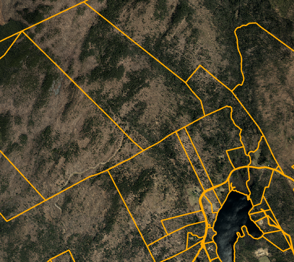
#NHGeodata Update: Statewide Tax Parcel Mosaic data have been updated! The full dataset includes 3 GIS layers of polygons, points, and lines, as well as a linked CAMA database. Access data at https://t.co/kLk4wWVtWV or view on https://t.co/k6qHydQF60 or https://t.co/0U8xYsGZDK
#NHGeoData update: Check out two new NH SADES (NH Statewide Asset Data Exchange System) dashboard additions to the NH Geodata Portal (https://t.co/mQbBGART9R).
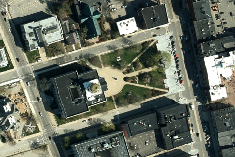
NH GRANIT Database Update: NHGRANIT has published new Statewide 2021/2022 6-inch resolution orthophotography for New Hampshire. Imagery is available through https://t.co/kLk4wWVtWV and https://t.co/k6qHydQF60. Connect to a Service or download MrSID files by town.
#NHGRANIT has updated the New Hampshire Department of Transportation roads layers to reflect data as of January 9, 2024. The data are available for download at https://t.co/qbZAtuOFD2 and for viewing on https://t.co/z590YawSM9.
@NewHampshireDOT
Thank you to David Brooks for his piece (https://t.co/Y95tOqbUU0) on broadband in NH and helping to promote the NH Broadband Mapping Initiative Speed Test (https://t.co/p4BeWkadKY). @NHEconomy
NH Broadband Mapping Initiative has released new data, maps, and statistics on the Dashboard! This is an ongoing project, and New Hampshire residents can help. Run a speed test from your home or submit a Challenge if you spot an issue. https://t.co/HHqXNFw8jV @NHEconomy@NHGRANIT
#NHGRANIT has updated the New Hampshire Department of Transportation roads layers to reflect data as of July 3, 2023. The data are available for download at https://t.co/qbZAtuOFD2 and for viewing on https://t.co/z590YawSM9.
@NewHampshireDOT
@peyton_mcmanus@UNHEOS@UNHExtension There are also layers for Recreation Areas and Points. These two layers have not been updated in some time. The Trails layer was recently updated. (Not all mapped trails are open to the public.)
@peyton_mcmanus@UNHEOS@UNHExtension While we do not have public data layers that record Current Use, there are a few data layers that may be useful to you. The Conservation/Public Lands layer has a field that indicates access.
@PREPCommunity released the 2023 State of Our Estuaries Report! The report tells a story of stress in the watershed and recognizes that while the challenges we face are significant, so too is our ability to affect positive change.
Head to https://t.co/3AMgqCRX4l to learn more!
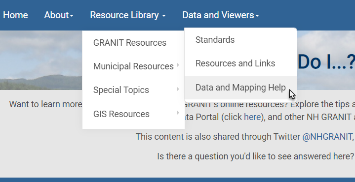
We've updated our Data and Mapping Help page with tips for downloading data from the NH Geodata Portal. Find answers to frequently asked questions and helpful tips for improving your #GRANITView or #NHCoastalViewer maps at https://t.co/uVl4CYx6d9
@UNHEOS@UNHExtension
#NHGRANITDatabase Update: We have updated the NH Conservation and Public Lands data layer. This is a digital record of parcels of land of 2+ acres that are mostly undeveloped and are protected from future development by various means. @UNHEOS https://t.co/kLk4wWVtWV
Interested in maps of zoning in New Hampshire? You can explore the new #NHZoningAtlas from the St Anselm College Center for Ethics in Society.
https://t.co/uAQ8PNa3lq
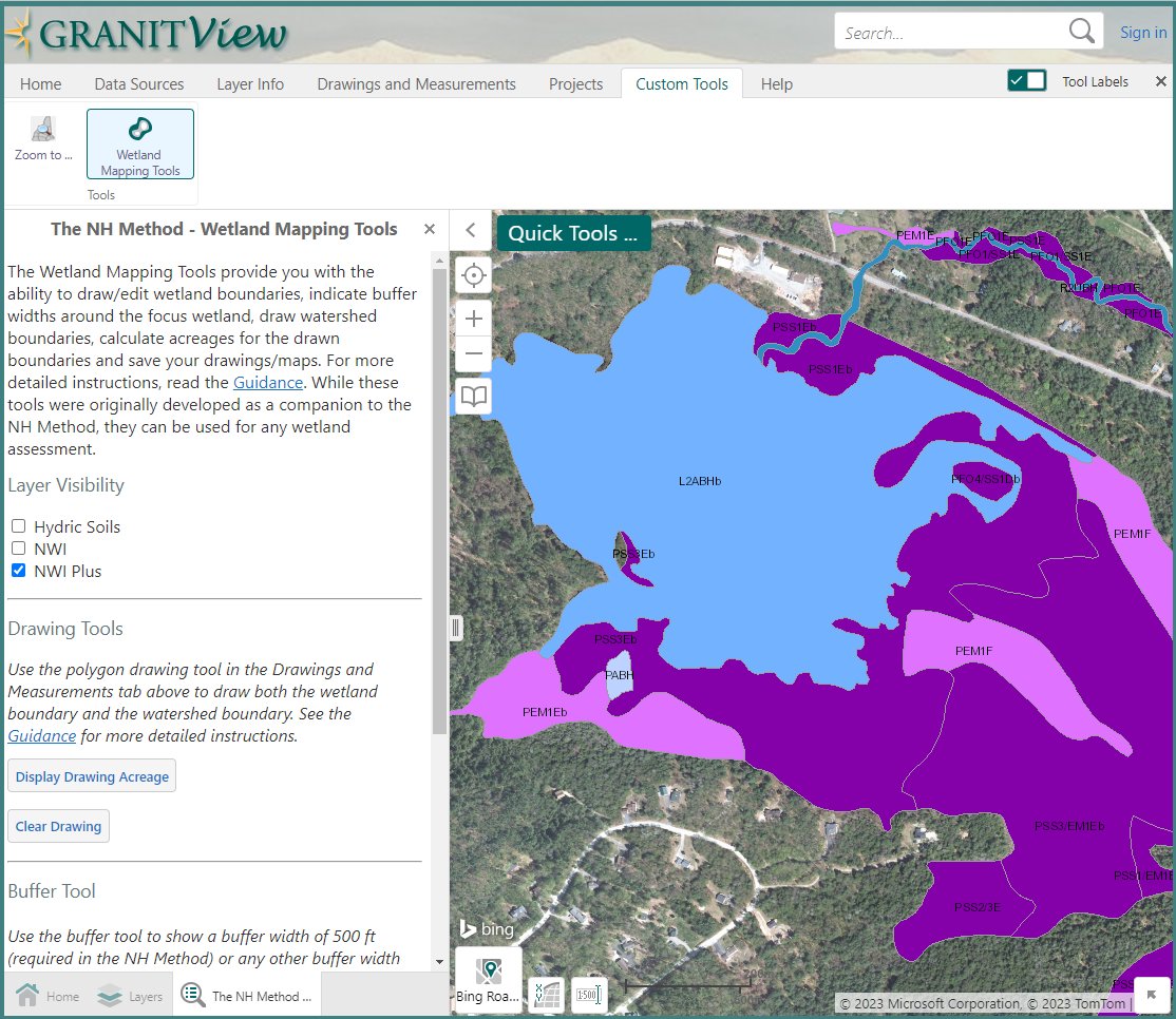
#GRANITView Update: NEW Wetland Mapping Tools for users of the NH Method of freshwater wetland mapping, developed by @UNHExtension. Draw wetland and watershed boundaries, buffer, and calculate acreage. https://t.co/rWqDIdd7nL
Learn more here: https://t.co/dGRsPUndK4 @UNHEOS
#NHGRANIT has updated the New Hampshire Department of Transportation roads layers to reflect data as of April 17, 2023. The data are available for download at https://t.co/gLTj1rz5cq and for viewing on https://t.co/z590YawSM9. @NewHampshireDOT
We've just completed a LONG overdue revamp of #GIS workshops. All workshops are offered remotely, topics include GIS basics, @ArcGISOnline, @ArcGISStoryMaps, @ArcGISPro, #ArcGISDashboards, and @ArcGISSurvey123.
Learn more: https://t.co/qD38NtOYDS
The NH Broadband Mapping Initiative Dashboard and Web Map are now live! Explore the status of broadband availability around New Hampshire and in your neighborhood. Visit https://t.co/HHqXNFw8jV Participate through the Connectivity Survey and Speed Test. @NHEconomy@UNHEOS
#NHGRANITDatabase Update: Updated statewide parcel data are now available through the https://t.co/kLk4wWVtWV, #GRANITView, and the #NHCoastalViewer. Parcel boundaries and associated attribute data for New Hampshire communities are current as of 2022.
New Hampshire’s $90M Broadband Expansion Program will connect more than 50,000 rural locations throughout the state. Once complete, New Hampshire will be among the most connected states in the nation. 🌐📲
Learn more, here: https://t.co/JTpcS9uUUO