A more wet, active pattern over the Southeast has led to improvements in #drought conditions over the past two week, with some locations even seeing two class improvements.
The past week or so has seen welcome rain over the Southeast, which provided a little bit of much needed #drought relief. Even with the recent rain though, drought conditions remain and more rain will be needed to achieve total drought relief.
Are you ready for hurricane season? Take action TODAY to be better prepared for when the worst happens. Even if you feel ready, there may be additional things you could do or learn. #HurricanePrep#HurricaneStrong
https://t.co/eBnGEVo1TG #HurricanePrep#HurricaneStrong
Much of the Southeast received several inches of rain over the past 24 hours. While it's not enough rain to end the drought, it will help keep conditions from worsening in many locations.
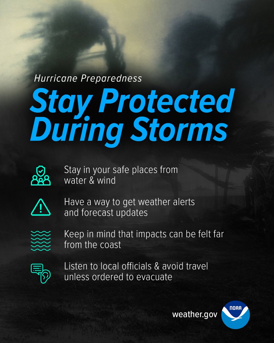
Be prepared for hurricane season by knowing what to do during a storm. Whether you’ve evacuated or are sheltering in place, know what to expect from the hazards you may face. #HurricanePrep#HurricaneStrong
https://t.co/oNYS0XnXxg
Do you know what to do when a storm threatens? Prepare for hurricane season by taking the time now to understand the actions needed when time is of the essence. #HurricanePrep#HurricaneStrong
https://t.co/qzWchgVfDt
Prepare for hurricane season by knowing how to understand forecasts. They can tell you a lot about what is expected, including the storm’s path, rainfall amounts, wind speeds, and more. #HurricanePrep#HurricaneStrong
https://t.co/Fs2E8IPx16
The best time to prepare for hurricanes is BEFORE hurricane season begins. Avoid having to rush through potentially life-saving preparations by waiting until it’s too late. #HurricanePrep#HurricaneStrong
https://t.co/vF9LubBOJx
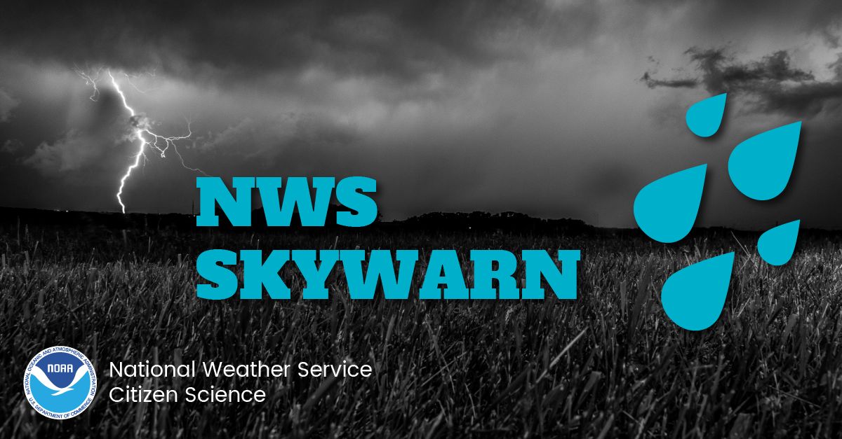
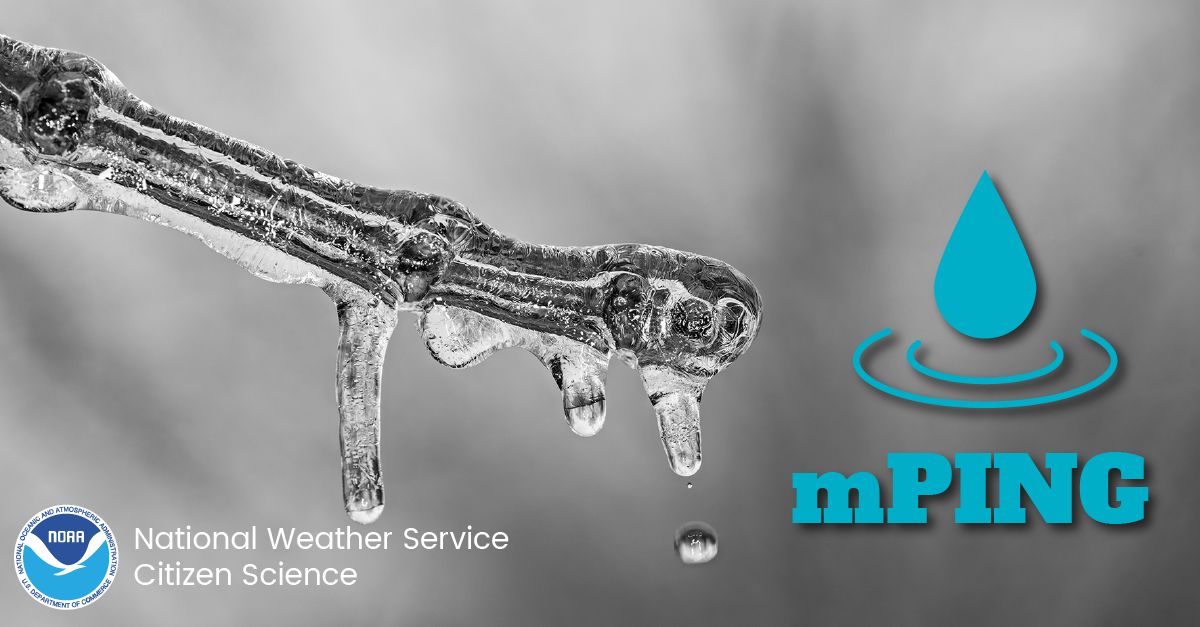
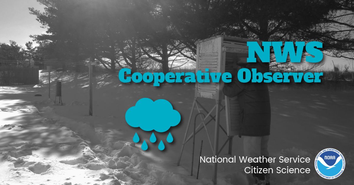
Today is National Weather Observers Day!
🙏 Thank all of you that observe, report, and maintain equipment in support of providing the weather observations that are so critical to weather forecasting across the world.
If YOU would like to get involved, check out the links below!
Skywarn: https://t.co/hho1xJFpYy
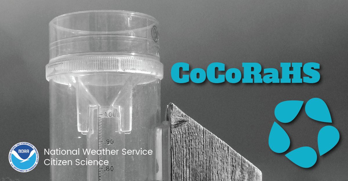
CoCoRaHS: https://t.co/3jTsgUohPT
mPING: https://t.co/PTrsZxKmae
COOP: https://t.co/SNmEQmlrhE
An atmospheric pattern change is starting to bring welcome rain to parts of the Southeast, providing slight relief to areas of heaviest rainfall. However, we'll need several of these events before we start to see improvements in the extreme and exceptional drought areas.
The US Drought Monitor(https://t.co/vxCE63qi05), expanded exceptional drought designation in GA and FL. With over 99% of the SERFC area in moderate drought or higher, we're looking forward to any amount of upcoming rain, even if significant drought relief is not expected.
Take a look at the Apr SERFC Water Resources Outlook where we expand on the current hydrologic conditions across the Southeast. This month, there is additional focus on the worsening #drought conditions and how those conditions might evolve moving forward. https://t.co/1R3tmdHIHS
Without any significant relief, #drought conditions persist over the Southeast, especially in southern GA and the Big Bend of FL. Streams are feeling the impact, with flows at many stream gages in the D4 area at an all-time low for this day. @NWSTallahassee@NWSJacksonville
Check out the SERFC Water Resources Outlook for March to see the latest on current hydrologic conditions in the Southeast and future outlooks! 💧It can be viewed here: https://t.co/v7l2jYSwbh
Heading into the ❄️winter❄️ season, #snow is on a lot of people's minds. At SERFC, snow is on our minds for reasons other than sledding and snowmen.☃️ Check out the image below to see the processes we have to consider that impact snowmelt and consequently, our river forecasts. 🔎
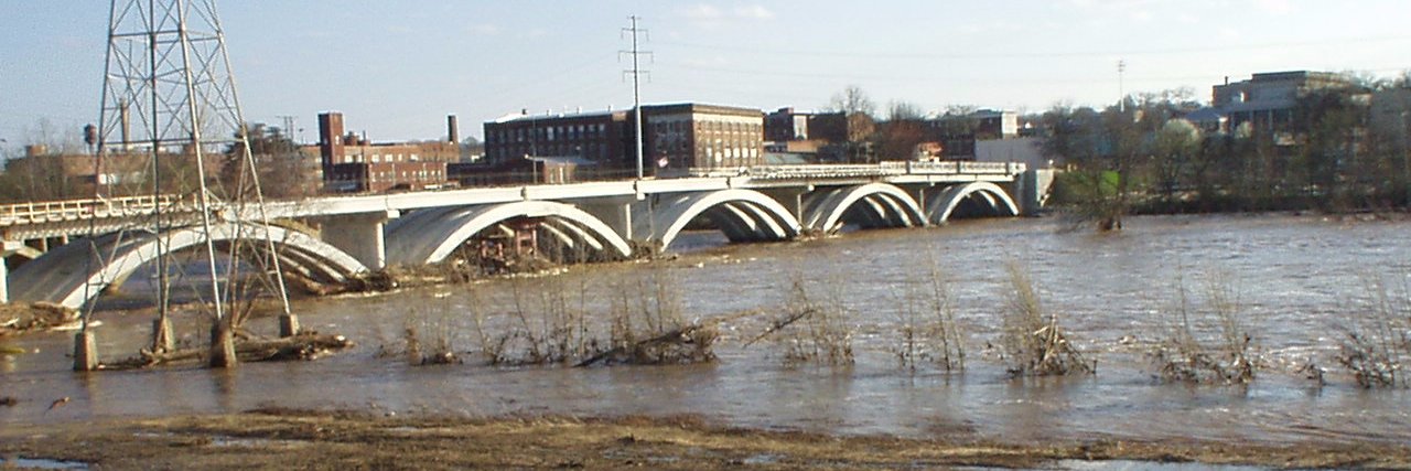
Parts of the Southeast are expected to receive 3-6 inches of rain this weekend bringing a slight risk of severe weather and possible flash flooding. However, chances of river flooding remain limited. Please refer to your local NWS office for updates.
Parts of the Southeast are expected to receive 3-6 inches of rain this weekend bringing a slight risk of severe weather and possible flash flooding. However, chances of river flooding remain limited. Please refer to your local NWS office for updates.