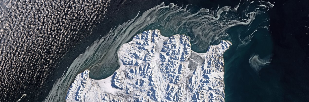
Seems like everyone’s watching Fiji right now… 👀🏝️
Even @NASA satellites!
NASA has a fleet of more than 20 satellites that study our home planet and capture images — including this one of the islands of Fiji, which are home to a certain iconic villa.
Dengue, which is spread by mosquitoes, is a serious health threat in Puerto Rico and a growing concern in parts of the U.S. 🦟
Scientists are using @NASA data to track the environmental conditions linked to dengue and improve forecasts of dengue risk in Puerto Rico.
Happy summer solstice ☀️
Today marks the start of astronomical summer in the Northern Hemisphere and the longest stretch of daylight. It’s the day the Northern hemisphere is most tilted toward the Sun. https://t.co/k0qPHyGw5l
NASA has selected the DAPHNE mission to study how Earth’s atmosphere drives space weather, helping improve predictions that protect tech and astronauts. Twin satellites will launch no earlier than 2029. More: https://t.co/4VR3ywB7An
This work is part of a collaboration between @NASA FireSense and @ALForestryComm.
The teams are planning to add another NASA science instrument to the fire dozers to measure temperature, spread rate, flame length, fire convection, and gas emissions. https://t.co/Guh6izWaAX
A NASA sensor is helping firefighters stay safe — and gathering critical science data! 🔥👨🚒
NASA’s FireSense project installed the sensors on fire bulldozers to alert the firefighters driving them when their surroundings are getting too hot.
Watch the colors change.
This timelapse of Landsat and Sentinel-2 satellite images shows the evaporation process at Chile’s Salar de Atacama, the country's largest salt flat and a major source of the global lithium supply.
Even from afar, wildfires are creating unhealthy air.
A NASA-supported study found wildfires have worsened ground-level ozone, or smog, across the U.S., with larger changes in the West and Midwest. Wildfires can increase surface ozone thousands of miles away from active fires.
These tiny birds follow their noses to find prey – even if it leads them into an energy-sapping crosswind.
The finding comes from a @NASA-funded study that tracked Mediterranean storm petrels with lightweight GPS sensors. 🐦⬛
More: https://t.co/juqd3khYR2
Need some motivation to get through this Monday? Earth has you covered. 🌎
These motivational posters feature images from @NASA satellites and @ISS astronauts, along with words of wisdom inspired by our own home planet.
Sometimes doing science involves taking a hike 🥾
@nasa@usgs GEMx scientists hiked in California to study minerals near Earth’s surface. The data they collected on the ground will help verify similar measurements from an instrument on an aircraft and the @Space_Station.
Can you spot one of the #FIFAWorldCup stadiums? 🏟️
This is a @nasa@usgs satellite image of Guadalajara, Mexico, which will host four first-round matches of the 2026 World Cup.
The sensor that detected topaz analyzes reflected sunlight from a plane to identify chemicals and minerals by their unique spectral fingerprints. The latest model, AVIRIS-5, is flying with the @NASA-@USGS GEMx project to map critical minerals across the American West. https://t.co/pWK28VVaM4
It’s like CSI…but with rocks 🕵️♀️🪨
Scientists hiked into the Mojave Desert to investigate a mineral “fingerprint” detected by a NASA sensor. Topaz was hiding in plain sight, which could hint at something more valuable underground known as porphyry copper.
Calling all soccer fans! ⚽
During the #FIFAWorldCup, you can help @NASA gather science data by taking photos and temperature measurements at your local field, park, or wherever you play soccer.
Get started: https://t.co/bGx5tZXwfp
On the map, red shows areas with the highest nutrient-related stress. The study found this stress is tied to seasons and major weather cycles such as El Niño and the Pacific Decadal Oscillation, which lead to warming waters in the Pacific Ocean. More: https://t.co/7DIhFW1Alq
Warm waters may be causing nutrient stress in the ocean.
NASA satellite data helped scientists study phytoplankton — the base of ocean food webs — and see where nutrients may be harder to reach. The result is a global map of where they’re thriving or struggling.