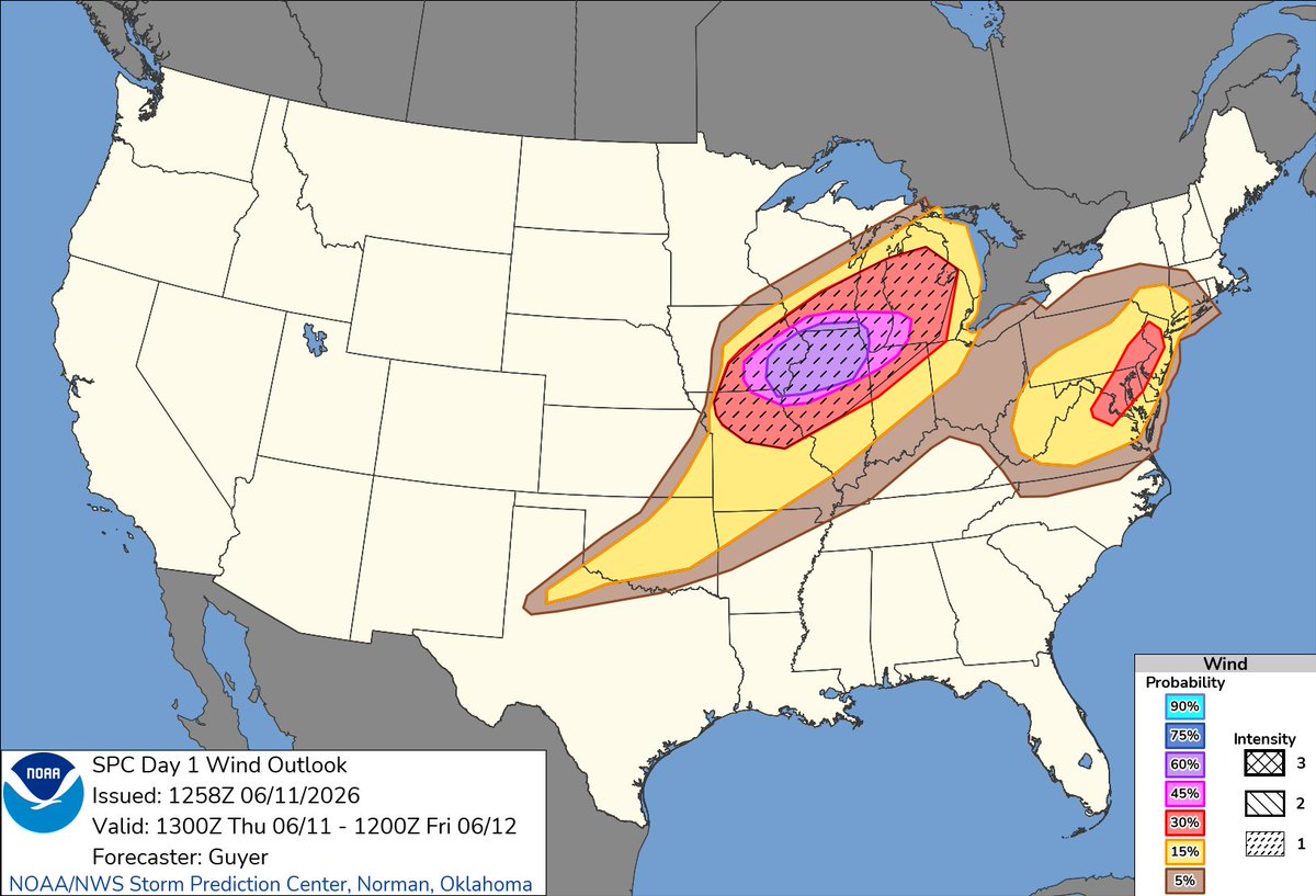
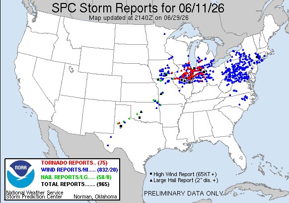
My weather hot take, June 11th was the most significant weather day this year by far, like sure it didn't make the most significant tornado of this year but it sure as hell sticks out for me
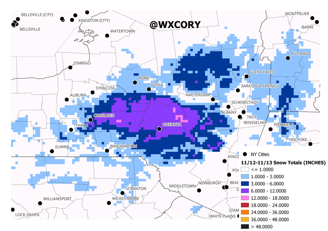
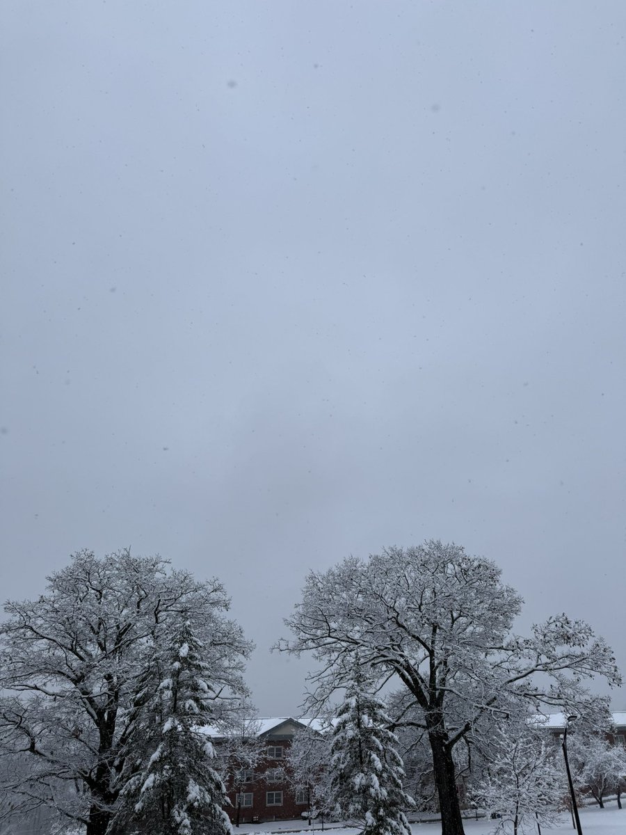
@BradyBGWX It nuked for a while in oneonta. Ended up with 5” on campus maybe a little more in some spots but I know the hills where pushing 10” elevation was a huge factor this event
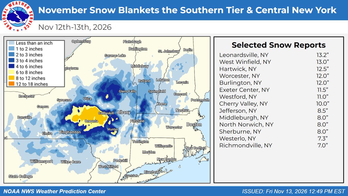
Observed snow from a low pressure system reached 13" in central New York Friday, Nov. 13. Top reports in New York: Leonardsville 13.2", West Winfield 13.0", Hartwick 12.5", Worcester and Burlington 12.0". Colder air is expected across much of the East this weekend.
WOW!❄️❄️❄️Some big-time snow totals out of CNY, especially Otsego County! Some spots this AM are around 1 FOOT of snow! Our system really overperformed with a quicker switch over to snow and very heavy rates last night. (Source: NWS) #NYwx#Snow#CNY
Winter's first warning shot has arrived in the Northeast with areas of central NY waking up to over a foot of snow this morning. The snows shold taper off today, but below-normal temperatures remain through early next week.
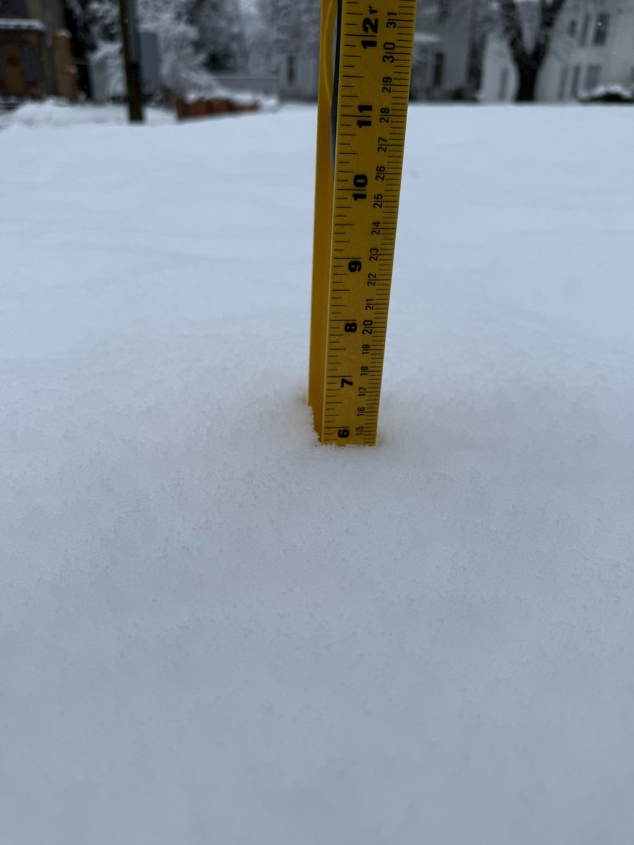
12.5" of snow tonight in Scotch Hill, NY. This is just outside of Hartwick (Otsego County) in New York. This is the largest snowfall measurement so far and comes from Tommy Potter.
With multiple reports of 6+ inches in Otsego County, even below 1500 ft, and a band of heavier snow that is taking slowly leaving the county, we have decided to upgrade the Advisory to a Warning.
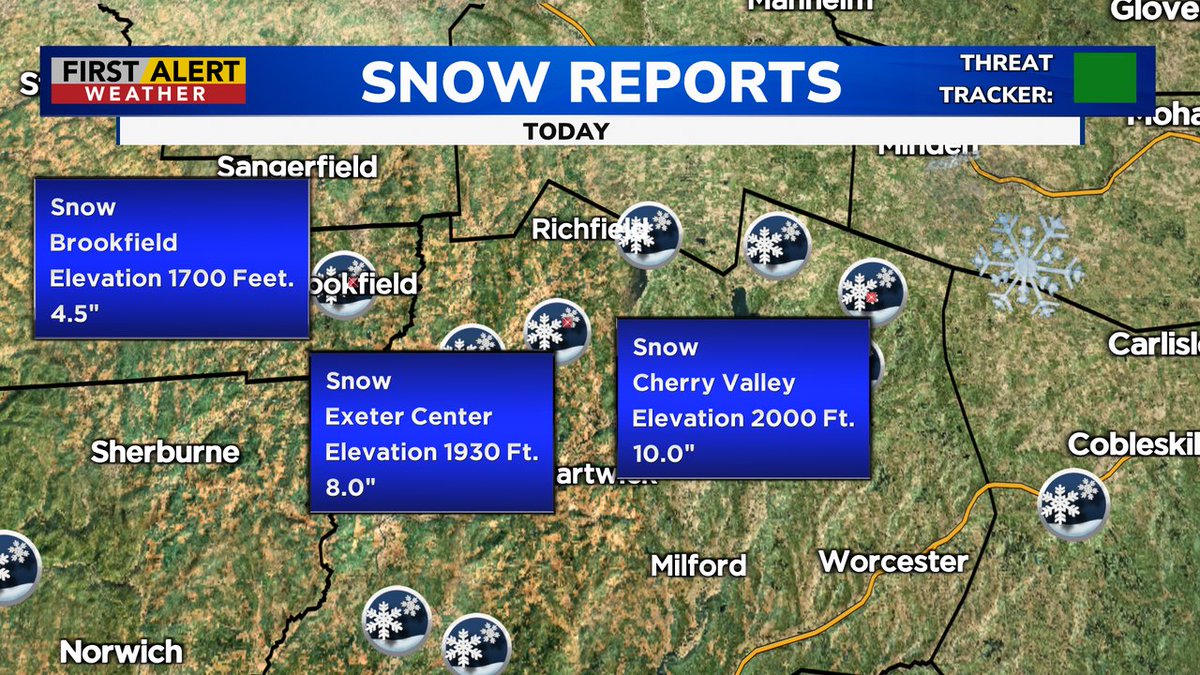
The hilltops are getting crushed tonight with heavy snow. This was measured in the higher elevations of Cherry Valley (2000+ feet). From Robin Jones Rouse.