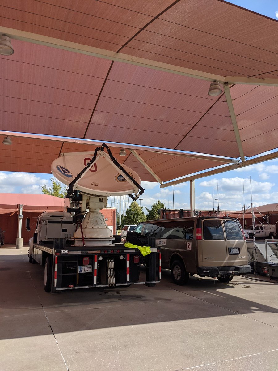
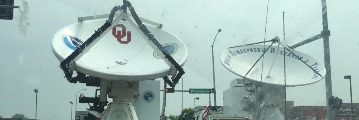
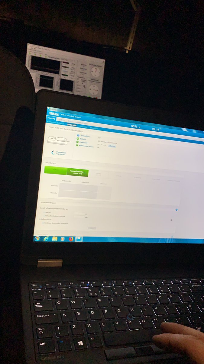
A research team led by Michael Biggerstaff, a professor in @OUAGS, successfully captured data with mobile radars and other weather instruments as Hurricane #Ida made landfall in Louisiana. https://t.co/fJSLOe2Fzb
From the @OU_SRs team: Location of OU radars and surface stations relative to Ida track. Areas within gray circles are where the radars are able to retrieve the winds in high resolution.
The @UAHSWIRLL has teamed up with @OU_SRs & @NOAANSSL for a comprehensive mobile radar & weather balloon sounding network. Here’s a quick diagram of our dual-Doppler radar network in the path of #HurricaneIda#lawx#mswx#alwx
We've got SR2 set up collecting data in conjunction with our other truck, SR1, up north. We are just starting to get into the outer rainbands #Ida#lawx
@ClimateWeave@NIST We are very grateful to @NIST for supporting this project and the combined multi-institution effort to understand wind hazards in landfalling TCs.
(1/3) The team is approaching southern Louisiana now to select sites to deploy both C-band SMART Radars in #HurricaneIda . This effort is supported by @NIST and a collaborative effort by @NOAANSSL and @UofOklahoma.
(2/3) The team is led by Dr. Mike Biggerstaff (@ousom) and Dr. Sean Waugh (NSSL) and is comprised of 4 SoM/@OUDGES M.S. students, 1 SoM Ph.D. student, 1 @OUCIMMS Postdoc, and 1 SoM Research Scientist. Stay tuned for real-time data that will be available later.
There's still a regional radar loop going for #HurricaneDelta, but two others are complete, including one using data from the @OUCIMMS mobile radar. https://t.co/O5tXQxhxEP
@NWSLakeCharles @addisonalford @UMiamiRSMAS @capitalweather#Delta#Louisiana
Intensity slowly decreasing especially in the NE eyewall on the last few scans from SMART Radar 2. Very gusty here at the radar site. Estimated 50 mph with higher gusts based on radar data very near the site. #lawx@NWSLakeCharles
Intensity slowly decreasing especially in the NE eyewall on the last few scans from SMART Radar 2. Very gusty here at the radar site. Estimated 50 mph with higher gusts based on radar data very near the site. #lawx@NWSLakeCharles
Intensity of NE eyewall continues to hold S of 22 UTC. 50+ m/s at about 1 km above ground. Region of strongest winds is heading toward Gueydan and Kaplan, LA. #lawx@NWSLakeCharles