Boosting Andrew’s post and adding a talked about “backloaded season” theory to this. 🌀 Florida Can’t Get A Break! 🌀
11 Hurricanes in 11 Years! Here’s the crazy part… 10 of those hit the Gulf Coast! Coincidence? Cycle? Maybe… we’ve seen that before. But there may be a more scientific reason. Hear me out…
Many weather and climate scientists think it may be due to an increase in “backloaded seasons”. That means the first half of seasons are less active now-a-days, and the 2nd half are more busy.
So, since the Gulf is favored in fall, and tracks tend to go Northeastward due to autumn steering patterns, the storms are more likely to crash into Florida’s #Gulf Coast.
If you are interested, let’s dig a little deeper. During July/ August storms tend to move from east to west due to easterly steering winds in summer. So IF a storm forms in mid-summer it’s more likely to hit the #Florida East Coast. However it’s been very quiet lately in July and August lately. To the contrary, Sept and October have been active. Those storms are more likely to form in the W Caribbean and Gulf and hitch a ride on the Autumn Jet Stream, hitting the eastern side of the Gulf.
So… why are seasons backloaded? Probably warmer summers. It’s a bit complex, but over the longer term the mid-high level atmosphere is warming faster than the low-levels during summer. If it’s warmer aloft, there’s less vertical contrast, then the air below tends not to rise. Less rising air = less storms. It’s called stability. Thus quiet summers.
But then when the upper atmosphere starts to cool in fall, the hotter water and cooler air aloft has more contrast. Then the action begins… warm air rises and storms form. Since the favored area in fall is the Gulf, and the favored steering is towards the Northeast, it’s a recipe for more Gulf Coast #Hurricane hits.
If this theory is right - since warming will continue - it seems likely “backloaded” seasons may play a more prominent role in future #hurricane seasons and the target may increasingly be the Gulf Coast. Just a theory for now. But worth monitoring.
Obs should winds got quite gusty at the time, although the airport was not getting rained on. Also wind was blowing out of the South with the plane landing to the NW, which doesn't seem ideal
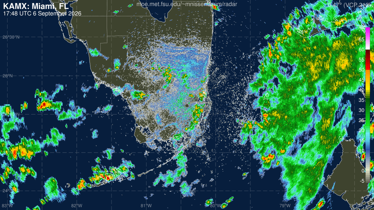
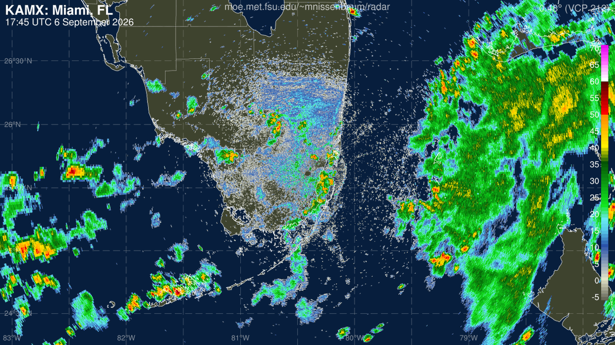
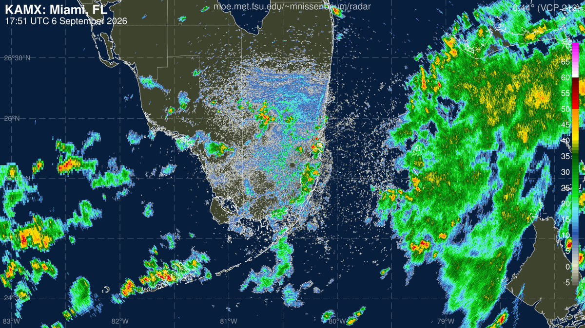
Pure speculation but weather may have played a role. An outflow boundary passed MIA (airport is near the M in Miami on the map) moving north right around 1:50 pm. The plane did pass through a nasty cell a few miles before landing as noted below
Here’s the radar when the Prime Air cargo plane went off the runway at Miami International Airport. Unclear if weather played a role but worth mentioning there were storms along the flight path
The sea breeze is starting to move inland so MIA doesn’t have a lot of time left to reach 100. FLL temps already dropped and wind direction flipped easterly
5/21: A signal for near *record* moisture late this month could result in likely above normal precipitation across South Florida.
The Climate Prediction Center highlights a high (60-70%) chance of this occurring. It's too early to identify specific locations & rainfall totals.
Forecast confidence continues to increase that a heavy rainfall & increased urban flood threat will exist for South Florida this Labor Day Weekend.
While the most likely values over the next 5 days is up to 4 inches of rainfall, *localized* high end amounts could present issues.
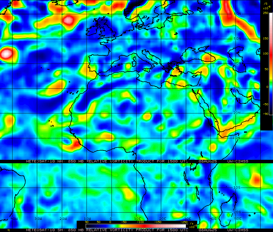
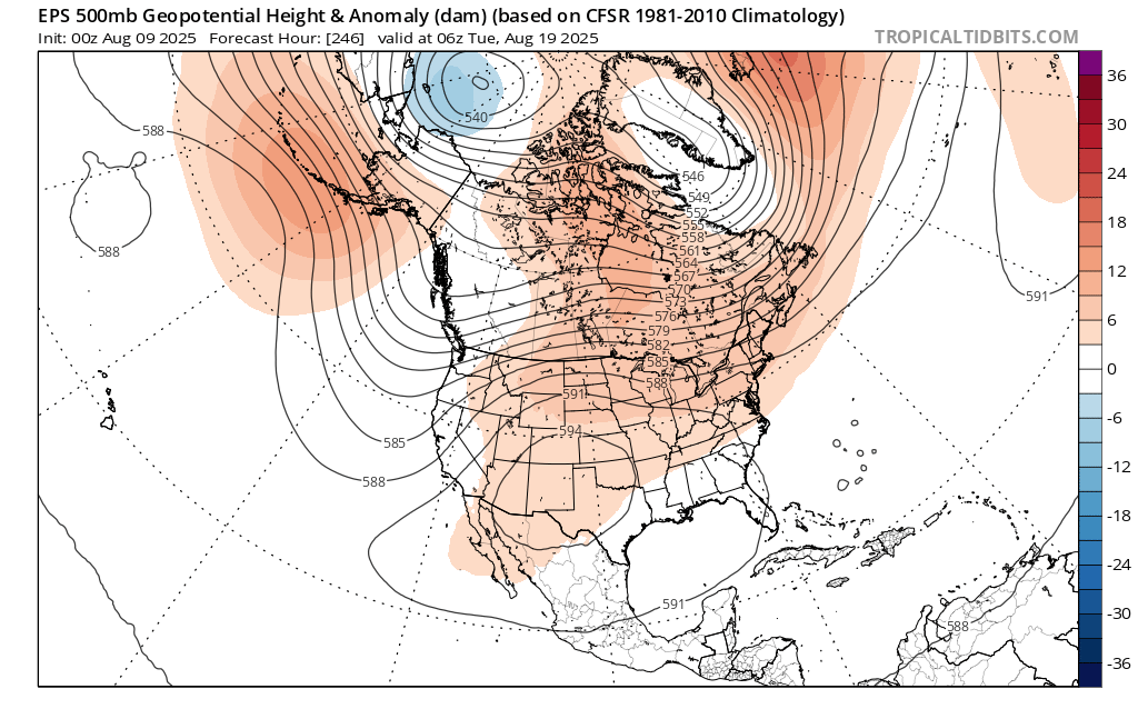
Definitely worth keeping an eye on a tropical wave over West Africa, already showing some signs of spin. Most models are now onboard with this developing over the Central/Western Atlantic next week. It'll still have to battle dry air and stability, so I don't expect it to take off til about 50W where SSTs jump up. Too early to worry too much about track specifics, but with a -PNA look over the CONUS in the medium range, the East Coast ridge position could be important to monitor over time.
We yelled and screamed and it worked. It worked for the microwave satellite data. And now it worked for the extremely unwise massive cuts to National Weather Service staffing done earlier this year. Never stop making your voice heard! https://t.co/EVZAcesEqi
...gradually tilt upright and seperate itself over the next few days. It's development odds depend on how far north it ends up consolidating, as a further north wave will have less time in favorable conditions before recurving into the jet. This should hopefully be... (2/5)
Seems the evolution of a cutoff low will play a large role in the Central Atlantic wave's eventual track. The EC consistently shows the ULL retrograding west under high pressure, stringing the wave out to the north. Similar story from the UKMet
The GFS does not have the ULL retrograding as far SW, allowing high pressure to build in and steer the weak system west. Similar story from the 12z ICON run, which weakens the ULL and allows the system to make it farther W. Prior runs had the ULL more trapped, closer to the wave
We knew this day could come but here we are. The 2026 proposed @NOAA budget shutters all world-class federally funded meteorological, oceanographic, and climate labs in America. Included is @HRD_AOML_NOAA, a fixture for over 50 years in Miami. Hundreds of top scientists tossed.
These are @NHC_Atlantic's mean forecast errors since 1990. A forecast 5 days out in 2024 was as accurate as one 2 days out in 2000.
For saving society billions, thank the NHC team, @NOAA's modeling investments, and dedicated researchers like my friend Andy.
He was fired today.
The GFS has trended weaker and west with #99L , in line with most models besides the ECMWF. Much can change until a center forms, but odds are increasing it gets buried in Central America or lifts into the Gulf as a disorganized system
Worth noting roughly one-third of 0z GEFS members interact with Central America early and dissipate or stay disorganized. Members that stay intact eventually turn NW by early next week. The margin for land interaction will be razor thin but crucial for #99L's eventual track
The 18Z ECMWF came in much stronger and a tick east of its 12z run, not surprising given #99L’s organization today. Both recent EC and GFS runs forecast cyclonic loops offshore Honduras/Nicaragua with prompt strengthening. Land interaction remains the major wildcard
@NbergWX IMO the AIFS’ low resolution explains the weaker look and lack of NE tug from the Atlantic trough. Otoh a stronger system probably pumps the ridge that builds in overhead afterward. Rn I favor the UKM middle ground keeping it offshore then landfalling in the Northern Yucatán