🤖🗺️ Awesome detailed walkthrough by daniel-j-h of automated building extraction in Tanzania using @mapbox's open source robosat pipeline, @openstreetmap, and @OpenAerialMap https://t.co/2qSXVoKyJ3
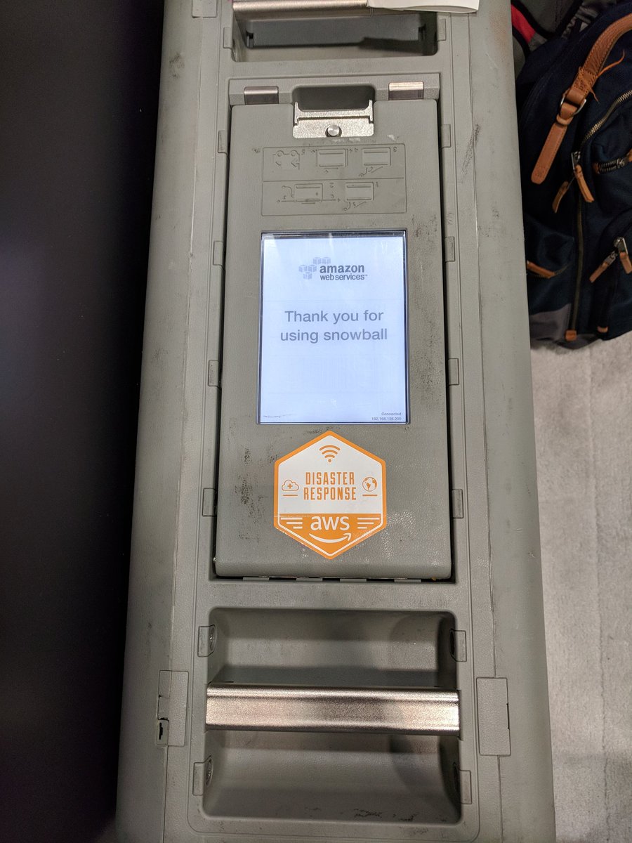
Got a demo today on @awscloud Snowball Edge today from @mojodna. It is a Petabyte data transfer (dustproof, waterproof) device that can be deployed post disaster, running @OpenAerialMap@awesomeposm and #OpenStreetMap editing completely offline. #AWSPSSummit @joseph_flasher
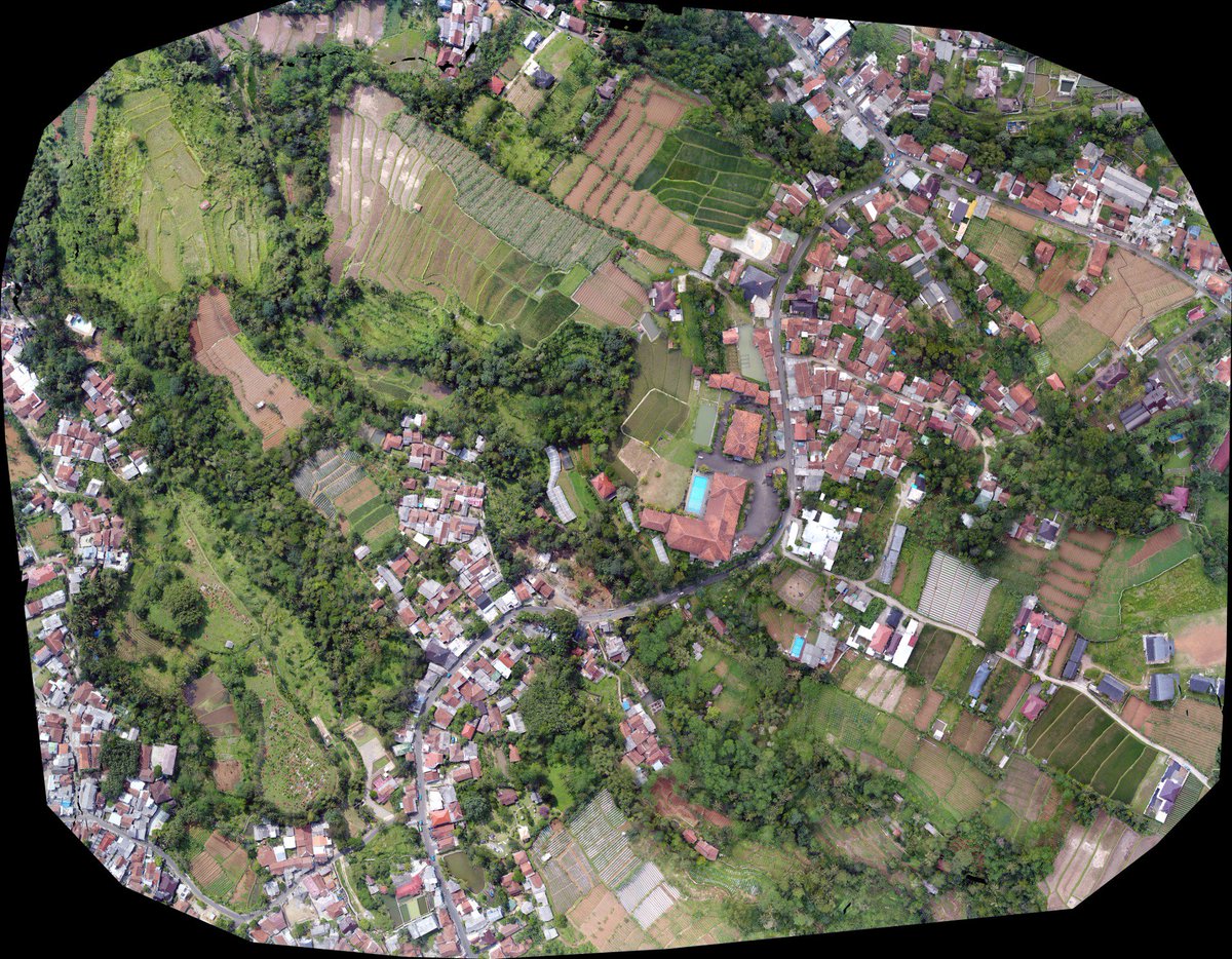
Every day new imagery is uploaded. Contribute imagery and directly support organizations on the ground. Learn more about the growing OAM community and check out our new video 📽️ https://t.co/6XP0UhnhPl
@Asgerpetersen So awesome!!! Didn't realize you could just type it in. And it seems like @qgis 3 also fixed the transparency issues. So cool to see a 1.2 gig file load instantly and stream in. Thanks @OpenAerialMap for the data! Gotta update my cog tutorial to tell people to just use QGIS 3.
Have machine learning skills & want to combine with aerial imagery of 🇹🇴? Launching an Open AI Challenge in the South Pacific together with @WeRobotics and @worldbankdata: https://t.co/FEBVElBibK
We're excited to launch the Open #AI Challenge for the South Pacific with the @WorldBank and @OpenAerialMap! The goal is to automatically analyze aerial imagery for food security analysis & more by using Artificial Intelligence https://t.co/1cZXTQ3IRZ
Sift through one of the cleanest and most advanced cloud native geospatial architectures - @openaerialmap. Part 4 in a series by @opencholmes. https://t.co/HCm3v5UlFK