OGC’s member-community of experts makes location data Findable, Accessible Interoperable, and Reusable (FAIR) through #innovation#collaboration and #standards
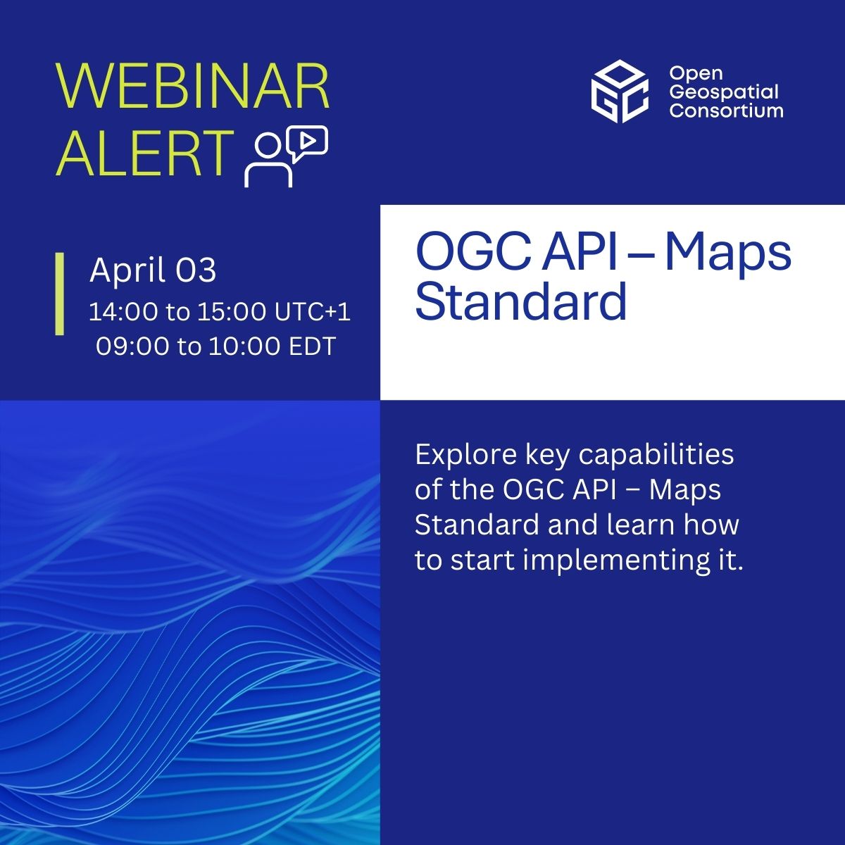
Join our webinar on #OGCAPI – Maps! Discover how it powers web-based map & tile requests with #OpenAPI & modern tech, advancing WMS & WMTS.
📅 April 3, 2025 | ⏰ 14:00–15:00 UTC+1
🎙️ Joan Masó | Jérôme Jacovella-St-Louis | Gobe Hobona
Register now! https://t.co/4TI3Xm8Ake
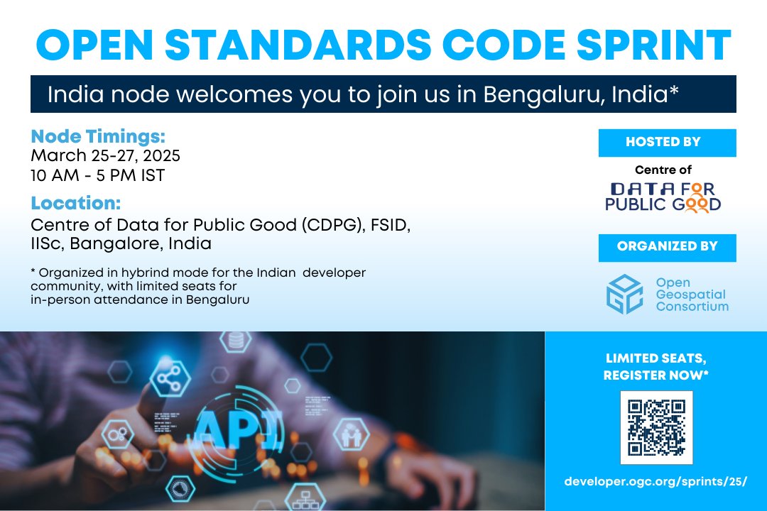
🧑🏽💻 Inviting #geospatial#developers to join Us in #Bengaluru, #India from March 25-27, 2025, at the India Node of the OGC Open Standards Code Sprint hosted by @CDPG_IISc@FSIDIISc
🔗 Register Now (Limited in-person seats available): https://t.co/oRgQAB0PWC
🗣️ @opengeospatial pide comentarios para convertir LAZ 1.4 en estándar comunitario
#LAZ es el estándar para #LiDAR comprimido, reduce el tamaño del archivo hasta un 93%
Comentarios hasta el 13 de feb 📅
ℹ️Más info: https://t.co/4EJGVLA47I
#CompresiónDeDatos#EstándaresAbiertos
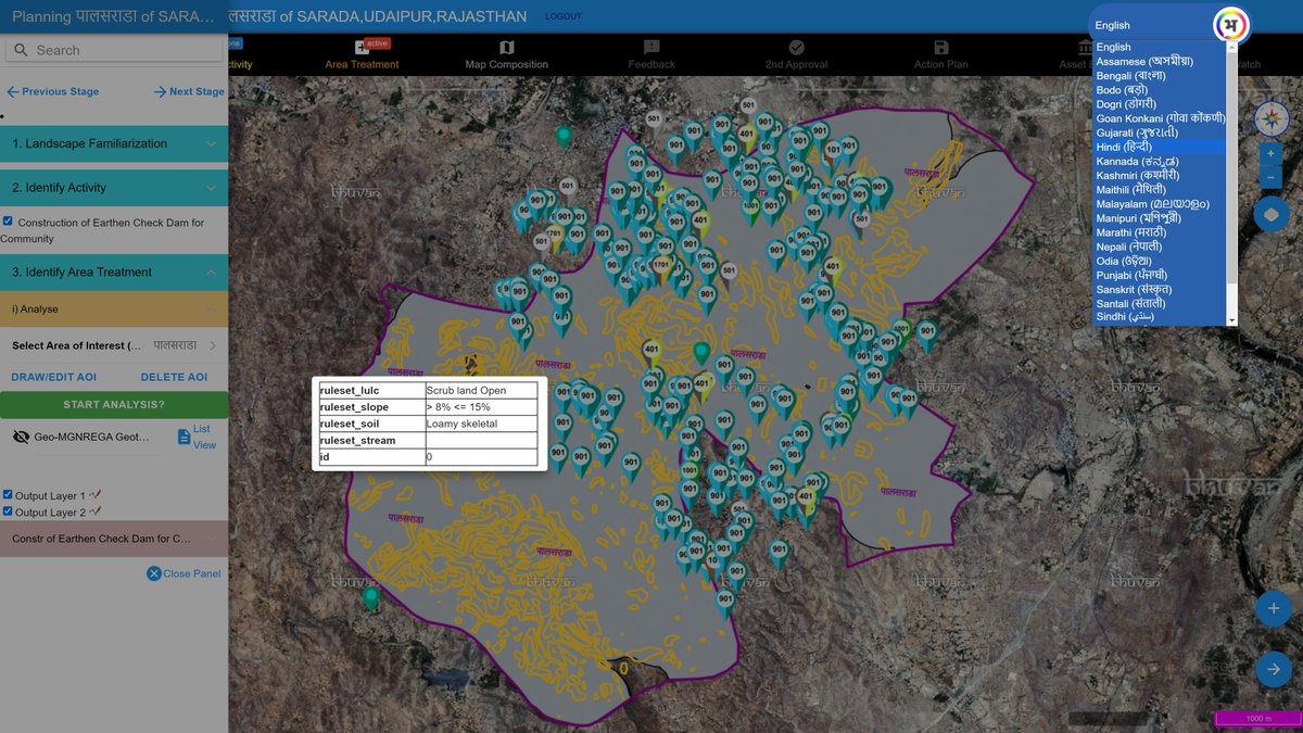
Here's a prime example of how #geospatial tech can enhance governance: #Bhuvan, powered by OGC Standards & developed by India's National Remote Sensing Centre (@isro), is transforming India by improving #RuralEmployment, #UrbanPlanning & #DisasterResponse https://t.co/0X2KAdoBWE
🔵 En la Jornada Técnica UNE - AMB: “Digitalización del entorno construido: estandarización y aplicaciones prácticas de gemelos digitales e integración BIM-GIS” intervendrán:
👥 @ramontorra_, #AMB@espaipublicAMB; @sermugo, CTN-UNE 332 y @buildingSMARTsp; Eduard Loscos, CTN-UNE 332/SC1 y @SphereProjectEU; Javier Lozano, @Adif_es; @eloipico, @ColomaArmengol; Marcos García, @caminosupm@La_UPM; Arturo Alarcón, CTN-UNE 332 e #IECA; Montserrat Monteagudo, CTN-UNE 332/SC2 y #AMB; Alberto Vilariño, @IGNSpain; Mayte Toscano, @opengeospatial; y Pablo Espinosa, @ajsantfeliu.
#UNEProgresoCompartido #BIM #GIS #Interoperabilidad #Innovación #ConstrucciónDigital #InnovaciónUrbanística #gemelosdigitales
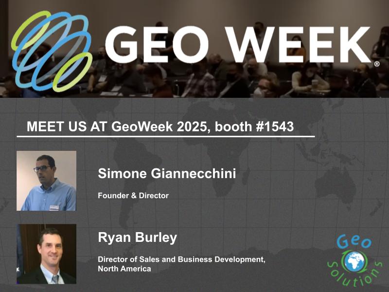
🌐 Thrilled to share that GeoSolutions will be at #GeoWeek2025, Feb 10-12, showcasing our latest advancements in geospatial technology.
🛰️ We're featuring MapStore with state-of-the-art 3D Tiles support, developed in collaboration with Cesium and adhering to OGC standards as well as our Digital Twin Toolbox to process 3D data into 3D Tiles ready to be served on the web.
�� Join us at Booth 1543 for a firsthand experience of our innovative solutions in 3D geospatial software. We're also offering exclusive live demos and professional training opportunities.
🔗 Discover more in our latest blog: https://t.co/RjVsxQkxAu
#GeoSolutions #MapStore #GeospatialTechnology #3DVisualization #Cesium #OGC #3DTiles #OSGEO #FOSS4G #DigitalTwin @OSGeoUS @opengeospatial @CesiumJS @foss4g
See you soon at @GeoWeekExpo in Denver! Chris Andrews, VP of Platform Integrations, joins panelists from @Google, @OvertureMaps, @opengeospatial, and @GeoWeekNews for "What Open Data Means for Geospatial Professionals" at 11 a.m. MT on February 11. https://t.co/FXLvmF1std
OGC has approved two new Abstract Specification Topics concerning Coverages, establishing a high-level, implementation-independent framework for defining concepts and terminology for Coverage data structures and operations https://t.co/1BFD9CvLoA
OGC is seeking information to inform the development of the upcoming Testbed-21 Initiative. Testbeds offer a unique opportunity for organizations of diverse sizes and locations to address their location data and processing challenges together.
https://t.co/9mI8VP15dY
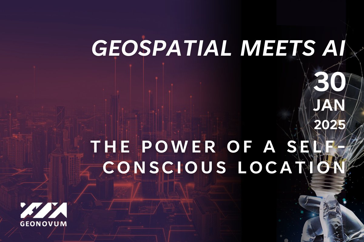
#Webinarannouncement | The integration of geospatial technologies and artificial intelligence is transforming how we understand and interact with our environment.
From digital twins to autonomous navigation, these cutting-edge innovations are pushing the boundaries of spatial awareness, leading us toward a future where locations are not just mapped but actively responsive and self-aware.
@geonovum is organizing the webinar Geospatial meets AI: The power of a self-conscious location.
This webinar is part two in a series of three webinars: Location and AI: Mapping the Future with Artificial Intelligence, hosted by the geospatial expert organizations, Location Innovation Hub, @Geovation UK and Geonovum, with partners including @EuroGeographics and The @opengeospatial .
Leaders from business, NGO and academy will take you along in a thoughtful journey of potential, opportunities and challenges in a changing geospatial world.
Be part of this webinar and discover how AI will change the power and use of location intelligence. Whether you are a tech enthusiast, a business leader or have a governmental concern, this event offers valuable insights and opportunities to drive the power of location intelligence forward.
Register now: https://t.co/X39z8AwJea
#Artificialintelligence #AI #geospatial #webinar #location #intelligence #mapping
We're seeking public comment on the work item proposal for LAZ v1.4 – R1 to be adopted as an OGC Community Standard. LAZ is the de facto industry standard for compressed #LiDAR
Learn more at: https://t.co/GAnT7O45K0
Registrations are now open for the next OGC Code Sprint!
Developers and other contributors are invited to the March 2025 Open Standards Code Sprint, to be held online from March 25-27. Learn more: https://t.co/cd0ZK71oA9
Are you an #SME manager, entrepreneur, or job seeker looking to invest in digital #skills?
Sign up now for the free #DIS4SME short course on "Introduction to Location Data Interoperability"!
Registration 👉 https://t.co/ayn1a2YR2q
@EpsilonItalia@EU_HaDEA@opengeospatial
OGC & @geohuntsville are seeking additional sponsors for an exciting new Space Pilot. The Pilot will address: Lunar Positioning, Navigation, and Timing; Lunar Data Standards; Lunar Digital Twins; and other areas of interest to sponsors https://t.co/hvRXY6lyGi #NewSpace
Joining @opengeospatial is a pivotal moment for @AfroLeadership_ Team.
We are happy to advocate for community rights in the geospatial sector. Making standards work for the people down there is an honour. Gratitude to all our supporters. #geospatial#governance#standards
A warm welcome to civil society organization @AfroLeadership_, based in Cameroon, who have joined the OGC Community to support their advocacy for transparency, accountability, and citizen participation in public policies through open data and standards. https://t.co/OFOh09qCc1
At @opengeospatial events 2024, #OvertureMaps joined industry leaders to discuss the future of Spatial Data Infrastructures (#SDIs) and the transformative potential of #OpenData.
Catch the highlights in our blog👉 https://t.co/ewx82P5KNq
As the new year begins, we celebrate the connections that bring us together & the richness they bring to our lives. From everyone at OGC, we thank you for being a part of our community.
The recap of last month's Member Meeting, held in Goyang, Korea, is now on the OGC Blog. Themed 'AI for Geo,' it provided members with insights into what’s happening at OGC and how interoperable technologies are critical for tackling global challenges https://t.co/FBSkBUlMCC
Welcoming our newest Principal Member @BNETD_CI to the OGC community! “BNETD will be a valued partner who will act as an anchor for training & capacity development in the region. We are thrilled to welcome BNETD to the OGC community.” OGC CEO Peter Rabley https://t.co/bUp4vrBYuO