Strong Thunderstorms are going to be approaching the area thru 7am. Wind gusts in excess of 70MPH and a quick spin up are not out of the question. #owasso#okwx.
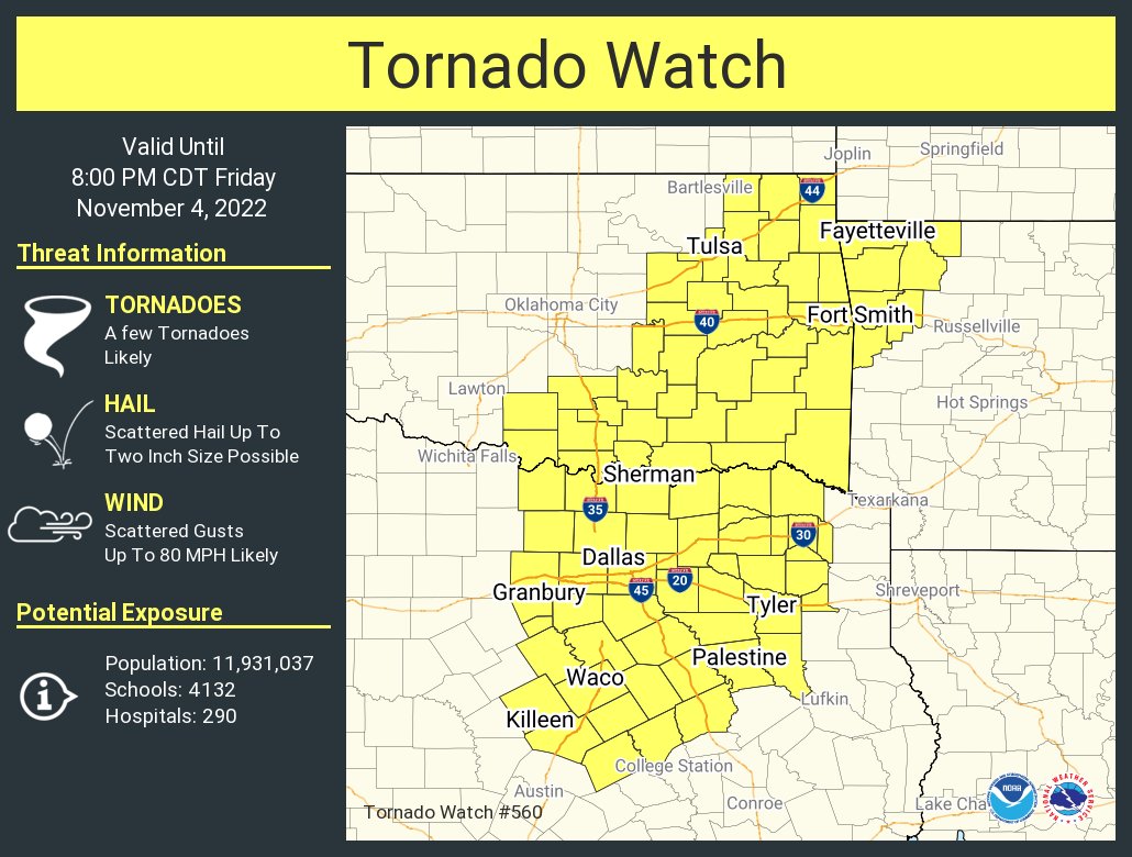
[11/4/22 4:05 PM] Scattered showers and storms, some with heavy rainfall continue across E OK this afternoon. The threat for a tornado at this time remains greatest across SE OK. Severe wind and hail will be the main threats further north. #okwx#arwx
[10:42PM 4/29/22] Storms on the cold front are expected to move into NE OK over next couple of hrs. Severe storm warnings are likely w/red area! Warnings are possible in the yellow area! Damaging wind & large hail are main threats. A limited tornado potential also possible.
#okwx
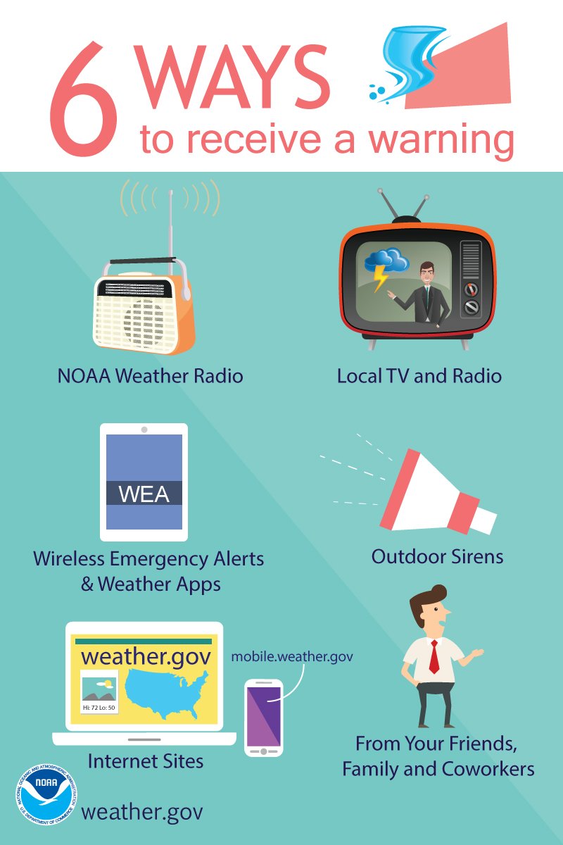
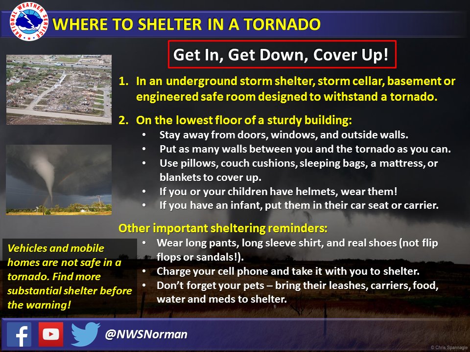
The Tornado watch has been canceled but storms overnight through early Saturday may be strong to severe. Make sure you have multiple ways to get warnings should they be needed. #okwx#owasso
Understand the difference between a watch and a warning so you know what to do and when to act:
⚠️Tornado WATCH = stay alert & be ready to shelter
⚠️Tornado WARNING = take shelter immediately in a safe place
For more tips, visit: https://t.co/nzIhFISuZw
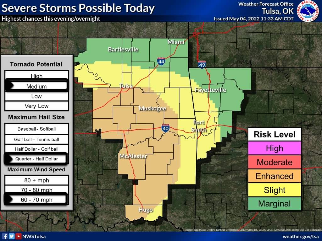
[3:44 am - 4/29/22] Severe storms remain possible late this afternoon,
and evening, especially across NE OK. Storm coverage remains questionable, but if storms do occur, the environment supports high impact weather, including very large hail and tornadoes. #okwx#arwx
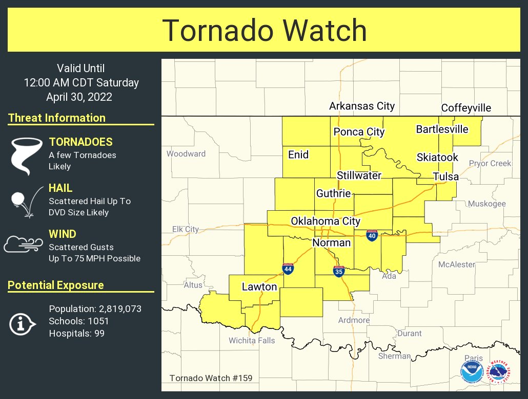
[9 PM 4/23/22] The Tornado Watch has been expanded to include Tulsa, Okmulgee and Okfuskee counties in NE #OKwx. Watch remains in effect until Midnight. Storms continue to move into NE OK and maintain svr potential for a few more hours.


![NWStulsa's tweet photo. [6/11/22 3:09 AM] With the first real taste of summer heat expected this weekend, here are some safety tips to deal with the heat. #okwx #arwx https://t.co/hzmxjh8ABL](https://pbs.twimg.com/media/FU9QC5CWAAIYRux.jpg)


![NWStulsa's tweet photo. [3:44 am - 4/29/22] Severe storms remain possible late this afternoon,
and evening, especially across NE OK. Storm coverage remains questionable, but if storms do occur, the environment supports high impact weather, including very large hail and tornadoes. #okwx #arwx https://t.co/dsQu89pUnA](https://pbs.twimg.com/media/FRf8UO6XIAEvQay.jpg)




![NWStulsa's tweet photo. [10:42PM 4/29/22] Storms on the cold front are expected to move into NE OK over next couple of hrs. Severe storm warnings are likely w/red area! Warnings are possible in the yellow area! Damaging wind & large hail are main threats. A limited tornado potential also possible.
#okwx https://t.co/MDTQJ4HQOh](https://pbs.twimg.com/media/FRkAoLaX0AADeeH.jpg)

![NWStulsa's tweet photo. [9 PM 4/23/22] The Tornado Watch has been expanded to include Tulsa, Okmulgee and Okfuskee counties in NE #OKwx. Watch remains in effect until Midnight. Storms continue to move into NE OK and maintain svr potential for a few more hours. https://t.co/90jzobdyPH](https://pbs.twimg.com/media/FREvyo4WUAAYOOm.jpg)


