GIS/Maps - Marketing - Cartography- Consulting
@mapsynergy & @PitchMyPackage
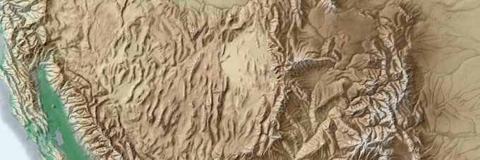
got into map stuff while studying snow science in the Cottonwood Canyons of Utah.
Collecting data and came across this comment
"Growth factored since. 2020 COVID Data not used"
we all know most CRE toss out 2020 numbers, but interesting to see it in official comments.
deep in the ARCGIS Experience Builder.
Creating an in-house customizable web map for the agents and designers. Sending the beta version to my designer for feedback. #ESRI#GIS#retwit
@UTSnowHydro I remember you talking about this during courses back in 2009-2011. How does the winter of '10-'11 compare to this season - particularly the dust impact?
Big jumps in trips. Not a lot of places to develop a hub in South Davis. One of the real estate selling points is the price point and commute distance.
Still trying to digest this but figure some of you nerds might find it interesting.
Really shows how urbanizing *outside* of SLCo (i.e. more jobs/retail/entertainment closer to where people live) would take a bite out of car traffic way better than a monster freeway
check in with your colleagues. In #GIS, especially in #CRE, we are always using the same data/software. Having a quick call with everyone and discussing what we're using saves a lot of time in troubleshooting. #retwit
the office is at #ICSC. A great time to catch up on projects and update frequently used materials.
What materials are used most often? We use our market aerials to show competition. Think grocery, big box, fitness, coffee, QSR, etc.
#retwit#map#gis