10:54 AM: HOB-33, HOB-WTC suspended. A signal system problem is being investigated at HOB. NJT rail is cross honoring PATH at HOB, SEC, NYPS. NYWW will begin cross honoring PATH at HOB, Paulus Hook, Brookfield Place. HBLR is cross honoring PATH at NWP, HOB, EXPL. Next update w/in
JSQ-NWK is suspended. JSQ-WTC operating with delays. Hack River Draw Bridge failed to lock. NJT rail and bus are cross honoring PATH system wide. Next update w/in 15m.
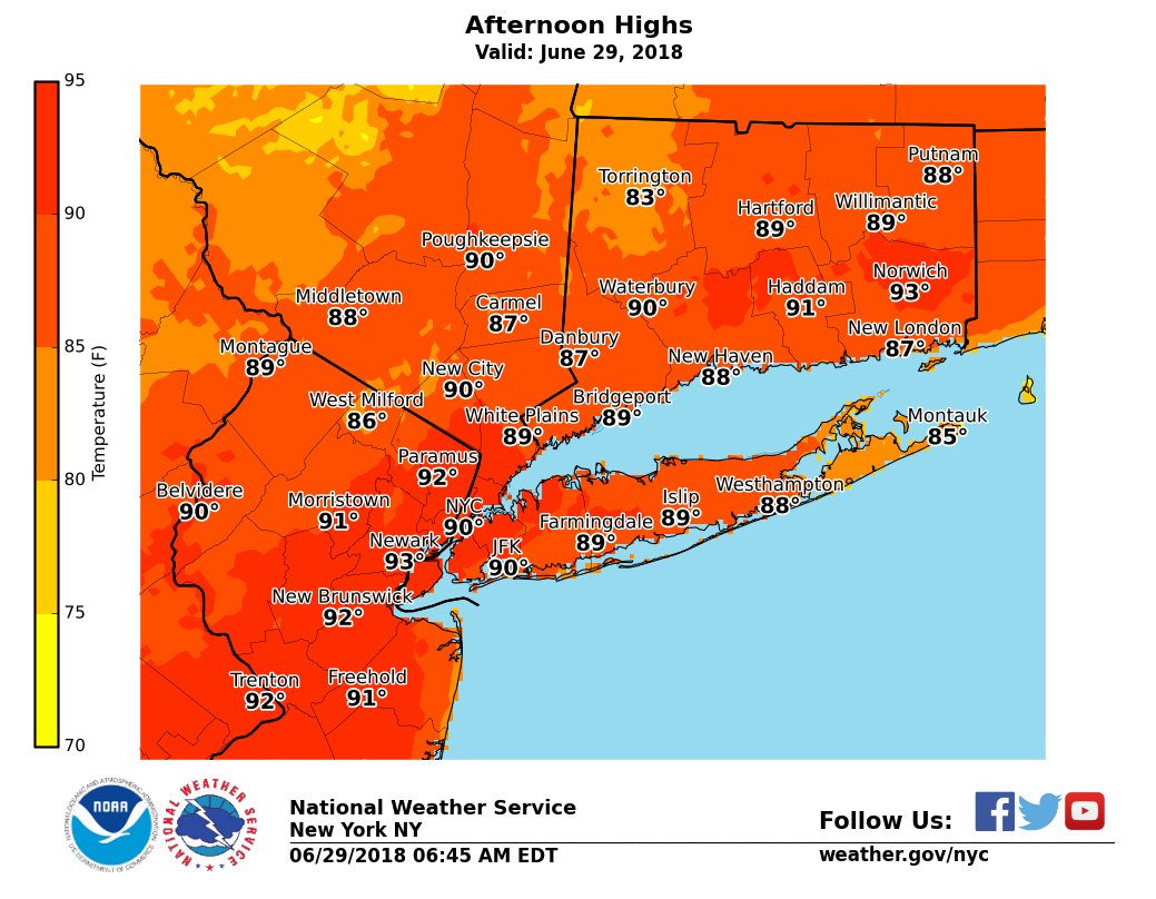
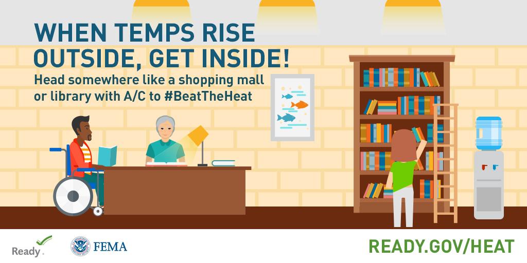
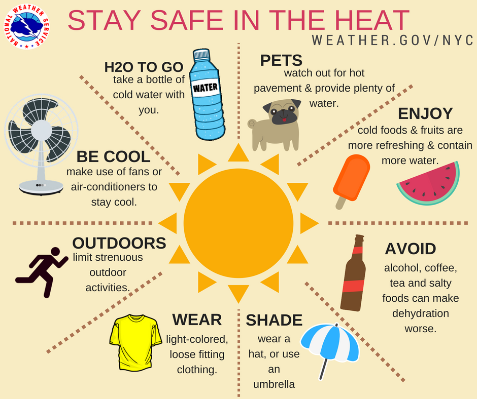
Excessive Heat Warnings and Heat Advisories are in place once again today. Combination of heat & humidity will make it feel near 105° today. Cooler along the coast.
The heat has arrived! Temperatures will rise in to the upper 80s to the lower 90s today with even hotter temperatures over the weekend. #beattheheat https://t.co/4MXvkwA7Xo
Hot and humid weather is on the way for the weekend into the beginning of next week. Sunday looks like the hottest day, with heat index values rising to 100-105° from NYC north and west. For more information about staying safe in hot weather, go to https://t.co/4MXvkwA7Xo.
#PAPD held their shield & ID ceremony @Sept11Memorial yesterday. The 116B Class received their badges & took their oath. For the 1st time, the class laid a wreath & red carnations at the South Pool for the officers who died in the line of duty. The class will graduate this Friday
The next meeting of Board of The Port Authority of NY & NJ is live.
Livestream ➡️ https://t.co/B0sSu1Lf5p
Agenda ➡️ https://t.co/hjLb5Kw5EW
#BoardMeeting#transparency
☀️Remember to stay hydrated, and NEVER leave a child, adult, or animal alone inside a vehicle on a warm day. https://t.co/32HTXY6gyU
#ReadyPANYNJ#SafeTravels https://t.co/kpD8ga2Xdr
If you like hot weather, this weekend's forecast is for you! After slightly below normal temperatures today and tomorrow, heat and humidity will increase late in the week, with 90°+ temperatures possible across parts of the area this weekend.
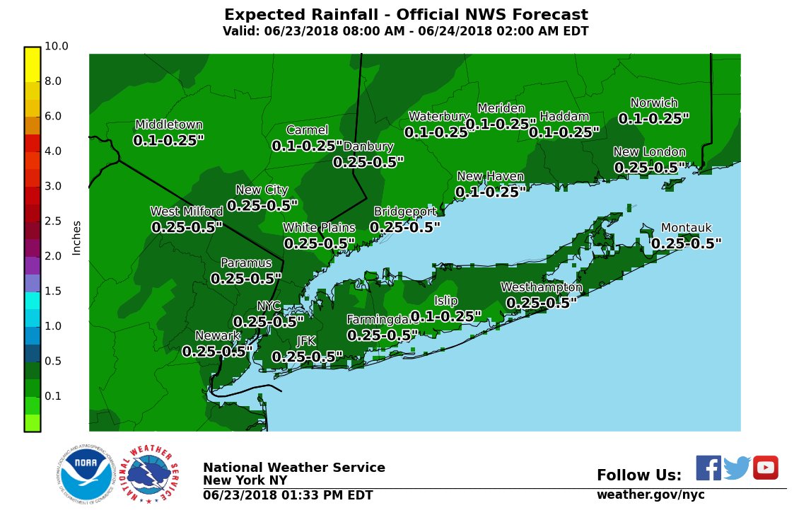
After a lull with any rainfall this afternoon, showers and a few thunderstorm are expected to develop by the early evening as a mid-level disturbance and a frontal boundary approach from the south and west. This will result in rain, some of which may be briefly heavy this eve.
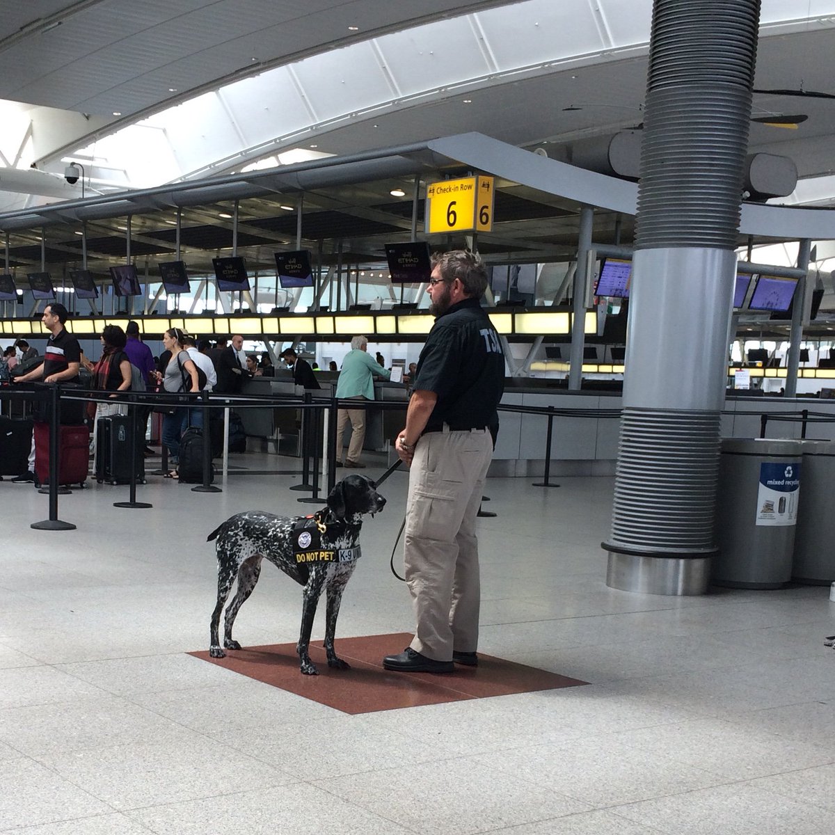
Here at @JFKairport, we’re grateful for the work our air travel partner’s K9 unit does on behalf of the traveling public. Thanks @TSA doggies 🐶
#TakeYourDogToWorkDay
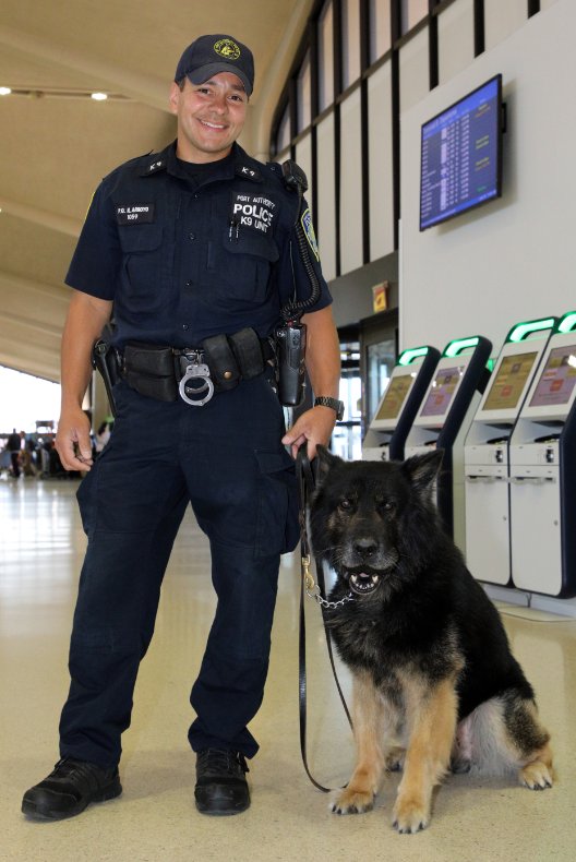
PAPD K-9 partners Officers Rodney Arroyo and Bojar are a team when protecting PANYNJ facilities, like @EWRairport, and a family at home. Bojar is an explosives dog and is one of the few focus dogs (stares at target to guide handler) in the NY/NJ region.
#TakeYourDogToWorkDay
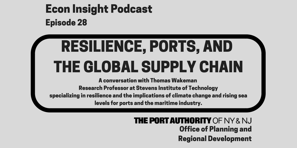
What have we learned from Superstorm Sandy related to the resiliency of the regions Ports? What more can be done to integrate resilience into our ports, supply chains, & infrastructure? In Episode 28 of our Econ Insight podcast, our economists discuss. 🎧 https://t.co/3VqKHPULbK
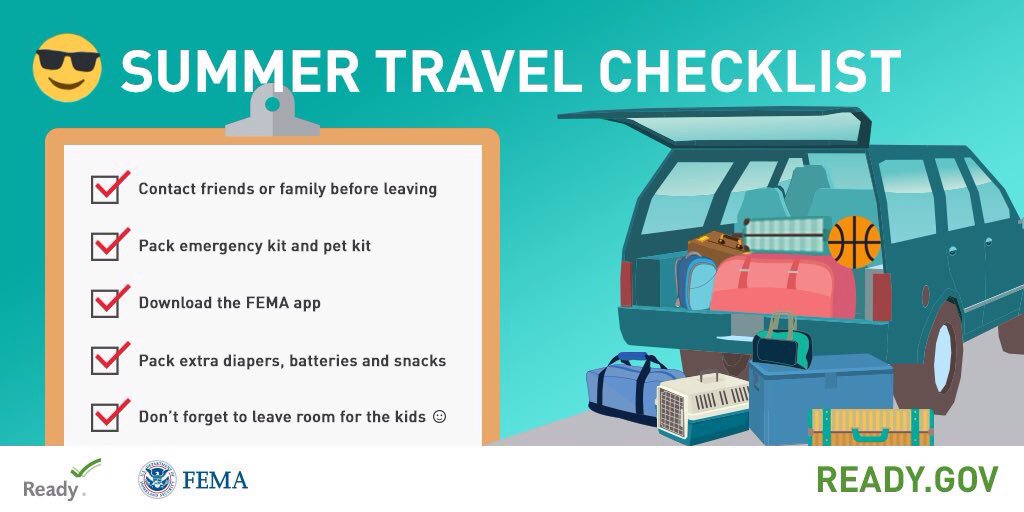
Be prepared for potentially hazardous weather late today into this evening. Plan ahead and leave time to travel safely! #ReadyPANYNJ https://t.co/PcaSNuUVDV
There is a Marginal risk of Severe Thunderstorms for late today into this evening for much of the area north and west of New York City. The primary concerns with any thunderstorms would be gusty winds along with localized heavy rainfall.
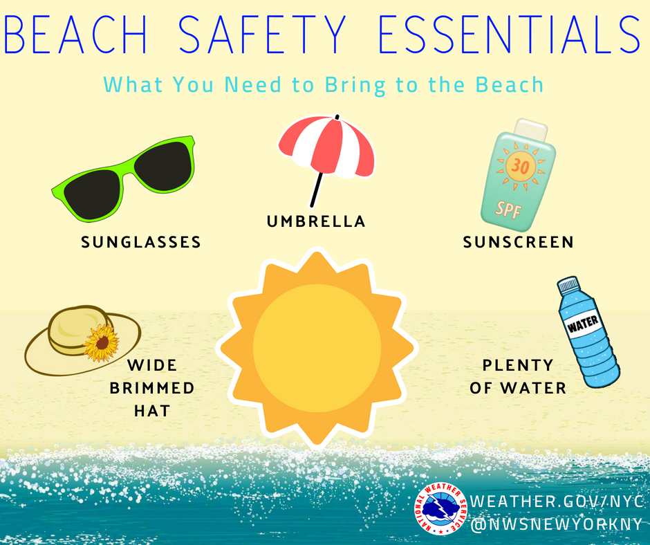
High temperatures are expected to rise into the upper 80s to near 100° over the next two days, so its important to know how to stay safe in the heat. #HeatSafety