The approaching #StormÉowyn is genuinely the most impressive-looking non-tropical cyclone I can clearly recall watching on satellite imagery.
Just look at that vast hook of deep cloud cover around a rapidly rotating 'eye'. Non-tropical cyclogenesis in peak form.
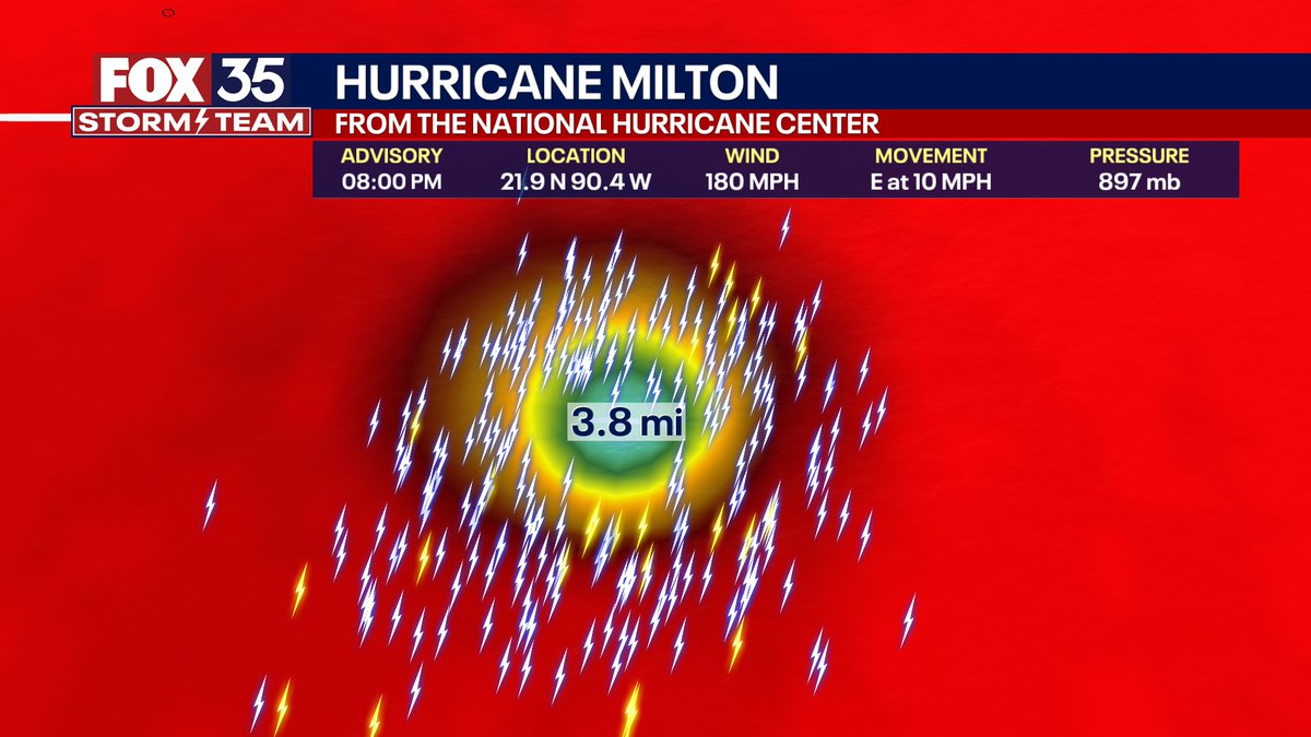
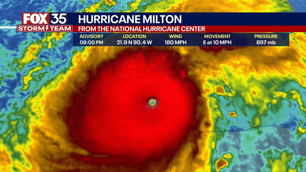
8PM EDT: This is nothing short of astronomical. I am at a loss for words to meteorologically describe you the storms small eye and intensity. 897mb pressure with 180 MPH max sustained winds and gusts 200+ MPH. This is now the 4th strongest hurricane ever recorded by pressure on this side of the world. The eye is TINY at nearly 3.8 miles wide. This hurricane is nearing the mathematical limit of what Earth's atmosphere over this ocean water can produce.
This is @ReedTimmerUSA stuck outside the vehicle as we took a direct hit from the Alta Vista TORNADO! I love that you can see debris flying behind him. 2024 has been wild! #wxtwitter
STRONGEST #TORNADO IN HISTORY? 300+ mph wind confirmed in Greenfield, Iowa tornado. Check out this new drone footage from this prior to this measurement! WATCH: https://t.co/hIgQ4RVSws