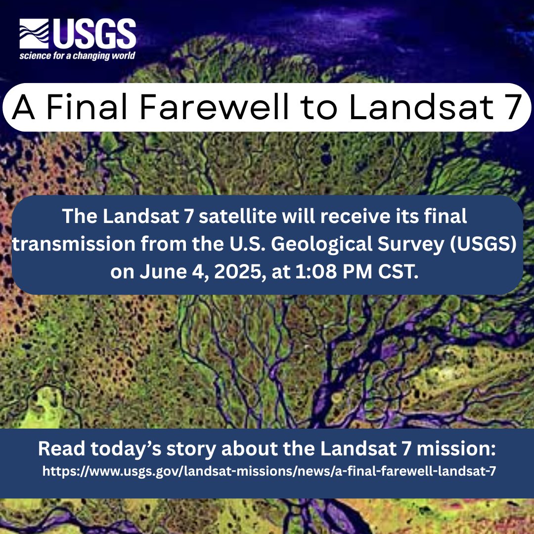
🌎🛰️After 25 years of Earth observation, the USGS bids farewell to #Landsat7 June 4. The legacy continues with Landsat 8 and 9, capturing planetary imagery to support farmers, city planners, and disaster recovery.
👉https://t.co/S9LXpKA5wQ
#EarthObservation#NASA
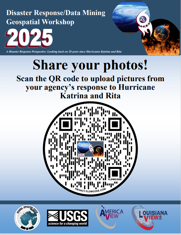
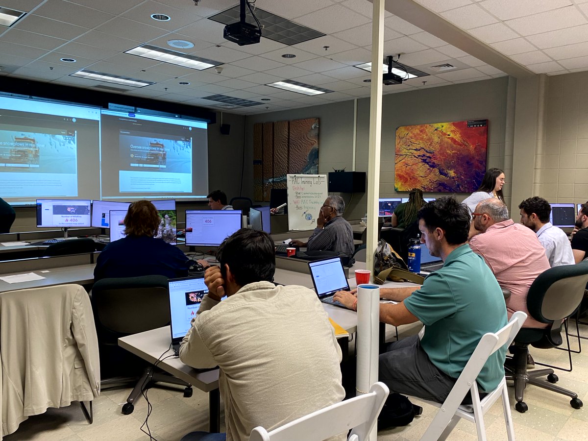
The Disaster Response and Geospatial Data Mining Workshop this week!
~Thank you Sponsors~
Acadian Ambulance
Bottomland Geosciences, LLC
Community Coffee
Drone Institute
@Esri
@LouisianaView
Oceaneering
Pixus Digital Printing
Regional Application Center
@USGS
Remembering its 25 years of faithful Earth observation, the USGS and NASA announce the decommissioning of #Landsat 7 from active service June 4th.
Read more here: https://t.co/VYPMec1le7.
Save the Date! LouisianaView will be hosting their 26th Annual Disaster Response Geospatial Workshop, June 5-6, 2025. Registration details will be coming soon. hashtag#disaster hashtag#geospatial hashtag#remotesensing
Have you heard about the @AmericaView podcast, Spatial Signals? You should listen in and learn about the people and projects that make @AmericaView the great organization that it is! https://t.co/fIS3YTHkbY
RAC and LouisianaView will have multiple exhibit booths during the exhibit - Explore the Earth from Above.
April 5 and 6, 2025
10 AM - 5:30 PM
El Paso Convention Center
Strengthen your edge device security! 🔏 Our new guide with @ASDGovAU and global partners expands on our executive guidance, offering vendor-agnostic tips to secure common edge devices across enterprise networks. Take action! 👉 https://t.co/PP9eAz76VA