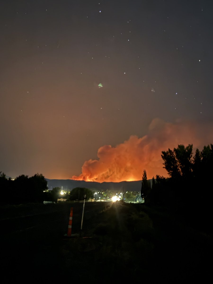
@KevinDuska Great post, thanks for the credit. Had a feeling the fire was already there before the storms, so interesting the exercise wasn't called off because of this situation.
The incident in #Wainwright, AB was captured on GOES and looks to have happened (or intensified) just after a strong outflow boundary crossed over the area. Praying for everyone involved.
Just overheard at the Optometrist:
“Girl did you hear about that storm that’s coming? They’re calling it ‘El Niño’ or something, there’s supposed to be tons of like rain and snow. It was all over my TikTok last night!” 🤣
Despite low containment numbers, the #HawkFire is pretty much out, and the parts that were closest to neighborhoods haven’t spread for over 24 hours. Meanwhile, national news is reporting breathlessly that Reno is in great peril. #DoBetter
@NWSReno Tornado Warning that was issued less than an hour ago is the first tornado warning for the WFO in five years. Also interesting to see July 2008 with 6 tornado warnings in 1 month.
When homes are densely packed in alignment with the direction of strong fire-season winds, it is nearly almost impossible to cut enough brush to make the homes defensible. Fire burns from house to house, no longer a 'brush fire'.
A neighborhood in the path of #PallisadesFire. 1/4
Never a good sign when the wx stations start to spike and go offline. Good indication that fire has made it deep into the WUI in N #Altadena. Also matches up with cores of high reflectivity on radar. #EatonFire
Looks like the #PallisadesFire & #EatonFire are on the S edge of G18 Meso sector #2, which gets us a great view of both.
LLWV shows a very dry environment yesterday (w/ plenty of mountain waves), but it looks like some moisture is pushing in today. Stay safe everyone.
Look at all the tornado warnings across Florida today...126 in total. This is #2 all time for tornado warnings in a single state on a single calendar day, behind only Alabama's 134 tornado warnings on April 27, 2011, during the Super-Outbreak. What a day. #Milton
Radar view vs. window view of Hurricane #Milton!
The @NOAA WP-3D Orions are equipped with nose radar, Multi-Mode radar on the belly, and tail Doppler radar. Together, they help us safely navigate through the storm while completing mission objectives. #FlyNOAA