@NWS @SkyWARN® Spotter in Southeast Louisiana.
Lives in Ascension Parish, LA within NWS New Orleans/Baton Rouge Forecast Area. #lawx#selawx#weather#skywarn
FYI - KHDC, the radar that services our area, is currently down to due to a mechanical failure. Technicians are working on it but as of right now, please use alternate nearby radars: KDGX, KMOB, KPOE, KLCH and TMSY. We'll update when it returns to service.
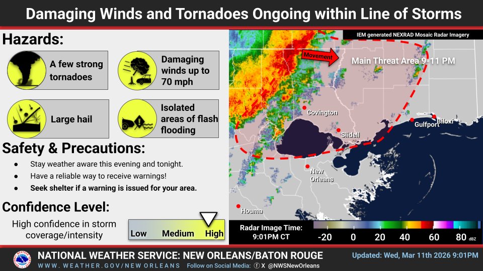
A line of severe thunderstorms will continue to move east through Southeast LA and South MS over the next few hours. Be ready to take shelter. A tornado watch is out for most of the region through 2am CDT.
Getting a bit stormy (gusty winds, moderate to heavy rain) here in Prairieville (between Hwys 44 & 431) currently at 21:05 on 3/11/26 as the leading edge of the storm cells arrive(@NWSNewOrleans). Electricity(@DemcoLouisiana) is beginning to flicker off and on. #lawx
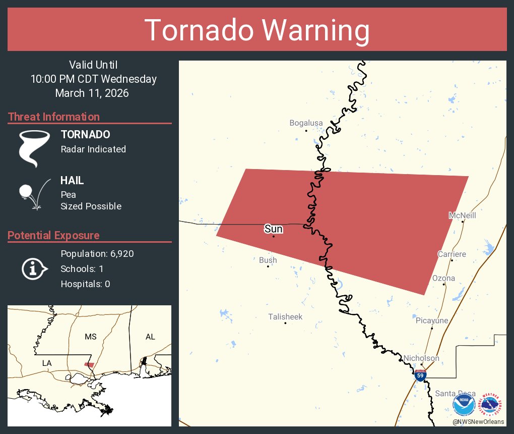
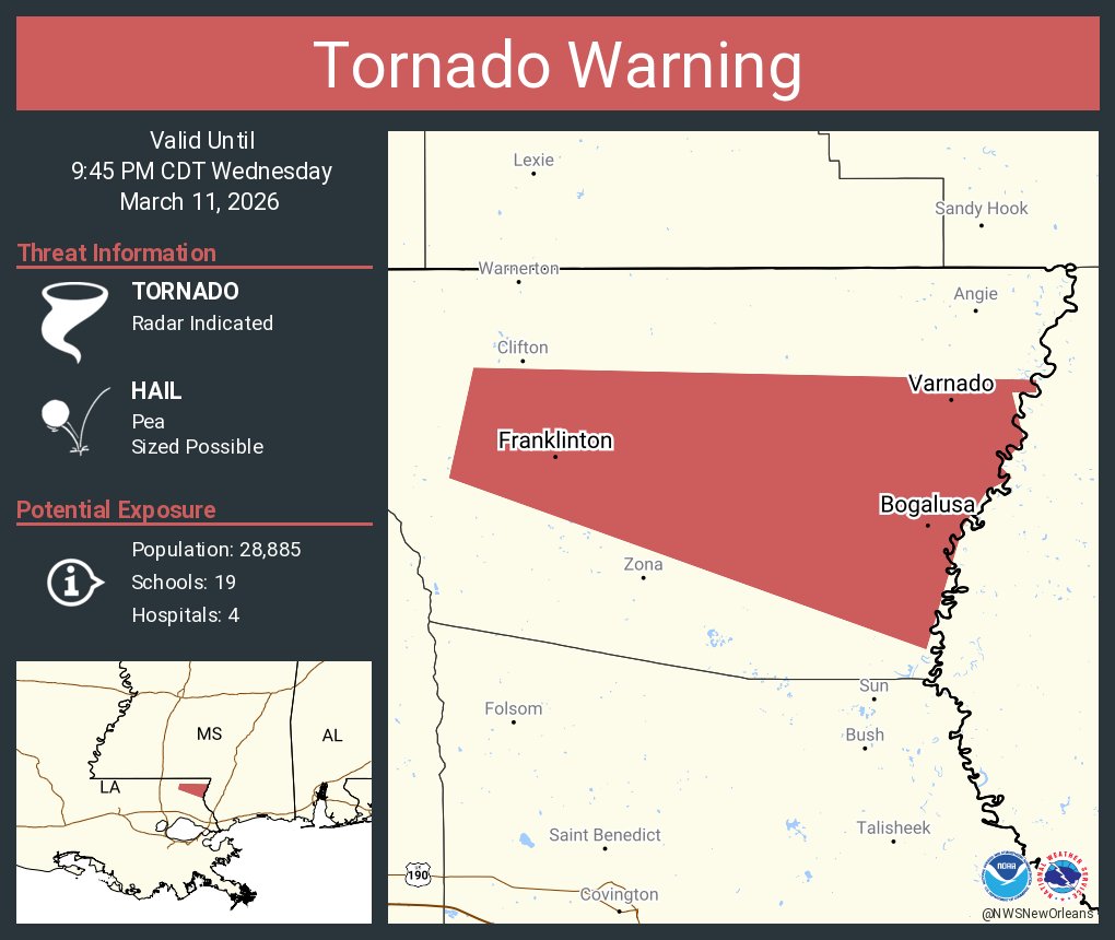
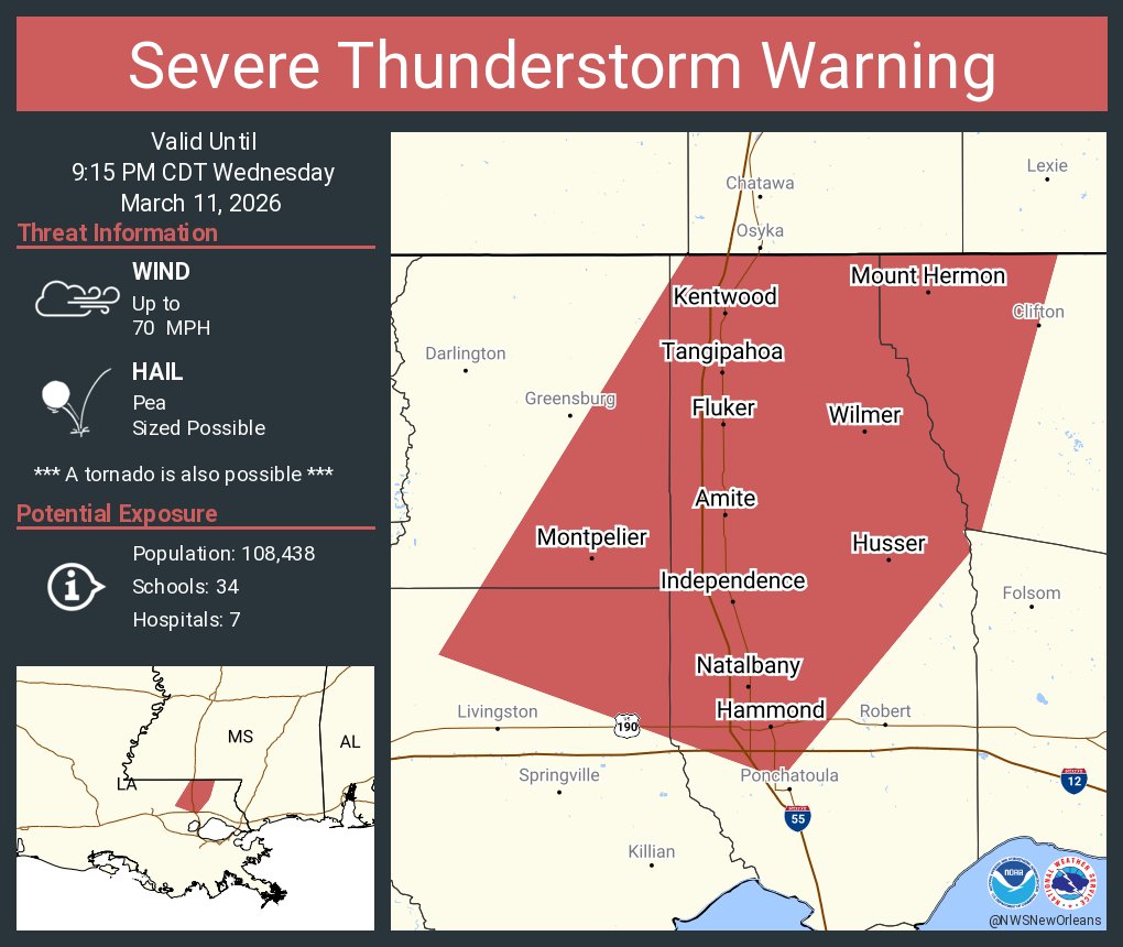
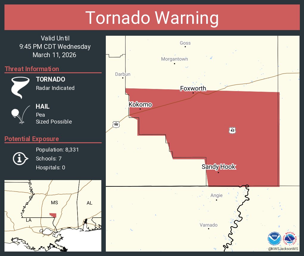
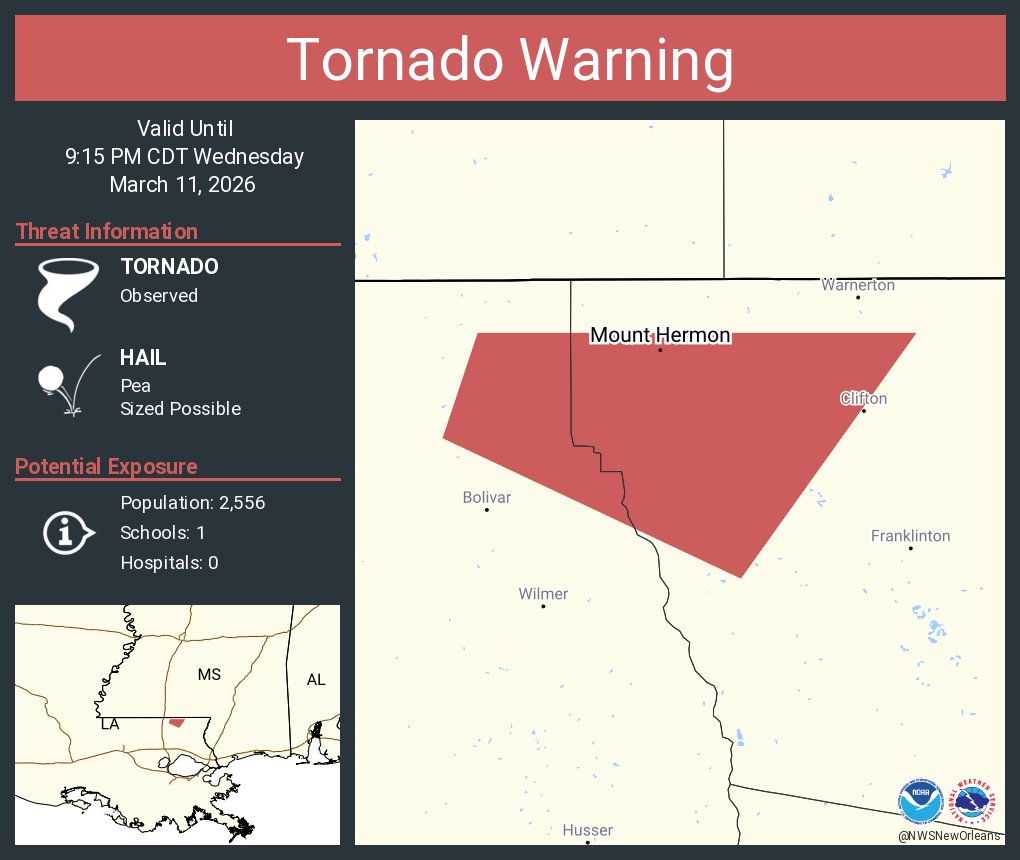
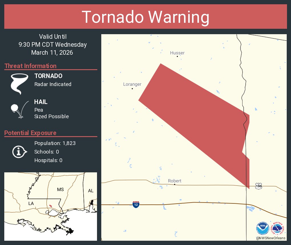
A ***TORNADO WARNING*** has been issued for Tangipahoa until 3/11 9:30PM. Seek sturdy shelter immediately! #LAwx
Download the free WBRZ Weather App here: https://t.co/lrfFwGYv2H
@SteveWAFB I know you aren't programming and I've messaged the main Channel, but do you know or can you forward the msg...know if channel is replaying Survivor and Amazing Race due to Pelicans game? Thanks!
7:25 pm - showers and storms continue in the BTR and NOLA metro areas. A few of these storms are strong with locally heavy rainfall and gusty winds. Take care while driving and don’t drive through flooded streets!