3) Searching for the Shallowest Martian Midlatitude Ice: Thermal Contraction Crack Polygon Mapping
In support of the Mars SWIM team's global ice mapping efforts, we are surveying polygon terrain across the midlatitudes with HiRISE data.
2) Subsurface Water Ice Mapping (SWIM) on Mars: Planet-Wide Geomorphic Mapping of Ice-Related Landforms
We report on current efforts to refine the geomorphic mapping of periglacial and glacial features on Mars to determine in situ resource availability.
1) Subsurface Water Ice Mapping (SWIM) to Support the International Mars Ice Mapper (I-MIM) Mission
(@PutzigThan @uk_gareth)
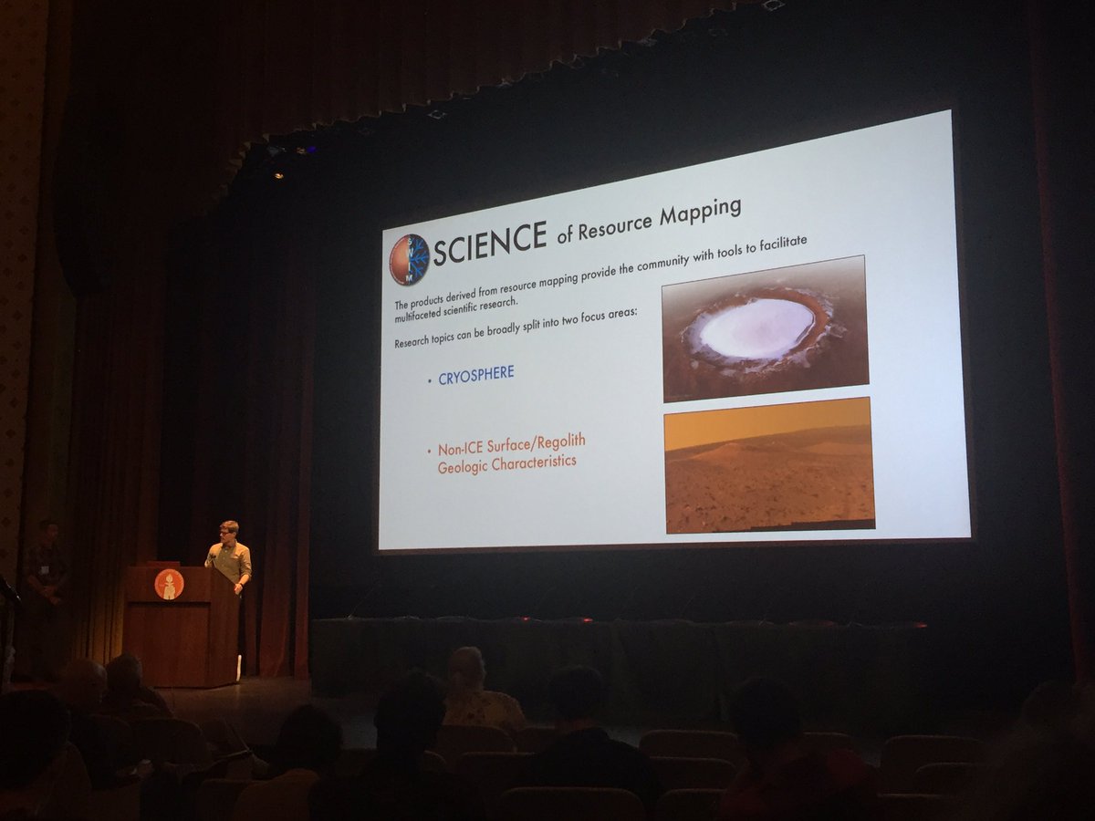
The SWIM team is integrating neutron, thermal, radar, and geomorphologic data for a holistic assessment of martian ice reserves to support human missions
Also check out #AGU21 talks showcasing @RedPlanetSWIM results!
1:00-1:05 Tuesday (Room 220-222) Gareth Morgan:
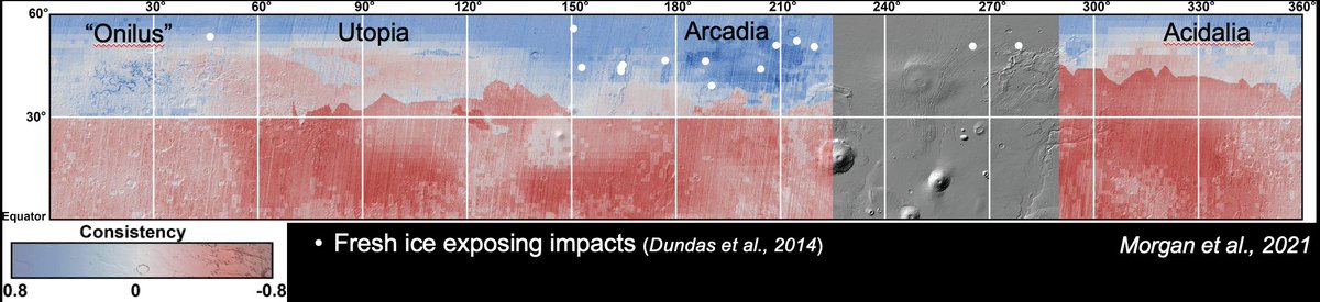
Defining the Equatorial Extent of Subsurface Ice on Mars through Global Geomorphic Mapping
1:15-1:20 Tuesday (Room 398-399) Than Putzig:
Mapping Ice Resources on Mars
Come see our work at #AGU21 on Tuesday by our co-captains!
1) @uk_gareth: Defining the Equatorial Extent of Subsurface Ice on Mars through Global Geomorphic Mapping.
Tuesday, 1:00-1:05, Room 220-222
2) @PutzigThan: Mapping Ice Resources on Mars
Tuesday, 1:15-1:20, Room 398-399
The SWIM Project has been renewed by @NASA for a 2nd season! The cast returns, along with a few new SWIMmers, to expand our mapping to the southern hemisphere, and incorporate new techniques into the analysis, in our quest to find accessible ice on Mars! #Mars#Ice#Space#Water
Mars Reconnaissance Orbitor (MRO) Shallow Radar (SHARAD) super-resolution radargrams and associated SEG-Y files used in the SWIM study are now freely available at: https://t.co/fZp4LvG4Yi
SWIM Products presented at #LPSC2019 are now available at https://t.co/8i1ahpKzll . Browse PNGs and TIFFs are available for all products and GeoTIFFs are also available for most. Enjoy!
#LPSC2019 Abstracts, e-Posters, and the SWIM Overview talk presentation are now available on the SWIM website (https://t.co/OW23GNkFQ3). We are aiming to release the northern hemisphere maps (PNGs, TIFFs, and GeoTIFFs) presented at LPSC via the SWIM website soon so stay tuned!