Global support network of integrated tools & collaboration for financing & decision making for resilience. By @ResiliencBrokrs @ecosequestrust and our partners
We invite you to a series of conversations between @NoraBateson and @snowded to explore the uses and shifting meanings of some of the key concepts and ideas in the fields of complexity and systems theory.
Register here https://t.co/Dg8gkMXr1q
#TheCynefinCo
In his book @dariorodighiero (thanks for the hard copy!) presents the visual principles that should guide network visualization. Useful principles also for visual #sciencecommunication.
The ebook is freely downloadable:
https://t.co/jMwA12b6MO
#scicomm#datavis
"Thick mapping" - combining micronarratives & geospatial indicators to understand emerging patterns of community resilience, layering quantitative & qualitative data at several scales https://t.co/q2hy0Ho4qo ht @DanielPAldrich cc @snowded
Our research w/ @nesta_uk Centre for Collective Intelligence Design is out. How 300 orgs. (+ many @UNDPAccLabs are tapping the world’s collective brain to get the planet on a fair, just & sustainable path. Kudos @KathyPeach@leksy_b@geoffmulgan@MirkoEb
These images show the building height (BH) for #Mumbai. BH data is usually collected through LIDAR and ground surveys, both are too expensive to scale up to entire city or larger areas. We present an alternative for city-wide BH generation.
(1/5)
Great new article led by @binodparajuli4 in @Sus_MDPI about the use of #OSM mapping and #citizenscience to build resilience to landslides in Nepal: check it out (open access) here: https://t.co/k8KMIbWH9D
"We can and should describe how building in one part of the world literally displaces environmental loads to other parts of the world" https://t.co/dwgOOPwzmz via @UrbanOmnibus
Destination Earth (DestinE) | Shaping Europe’s digital future by developing a very high precision digital model of the Earth to monitor and simulate natural & human activity, and to develop and test scenarios that would enable more sustainable development https://t.co/YT1oVwMmDX
EU is finalizing plans for a “digital twin” of planet Earth that would simulate atmosphere, ocean, ice,& land with unrivaled precision, providing forecasts of floods, droughts & fires from days to years in advance. We plan to link to @ResilienceIO https://t.co/7gC4ro53Bb
A reminder of @ecosequestrust@ResilienceIO video “Soil to Sky” explaining how interconnected earth to regional scale modelling can help us transform our cities and ecology to unlock the beauty within https://t.co/5boHcEpGb6
"Green transition will not happen without digital technologies. Green transition and digital transition go hand in hand" says @vestager.
#DigitalEU = #EUGreenDeal
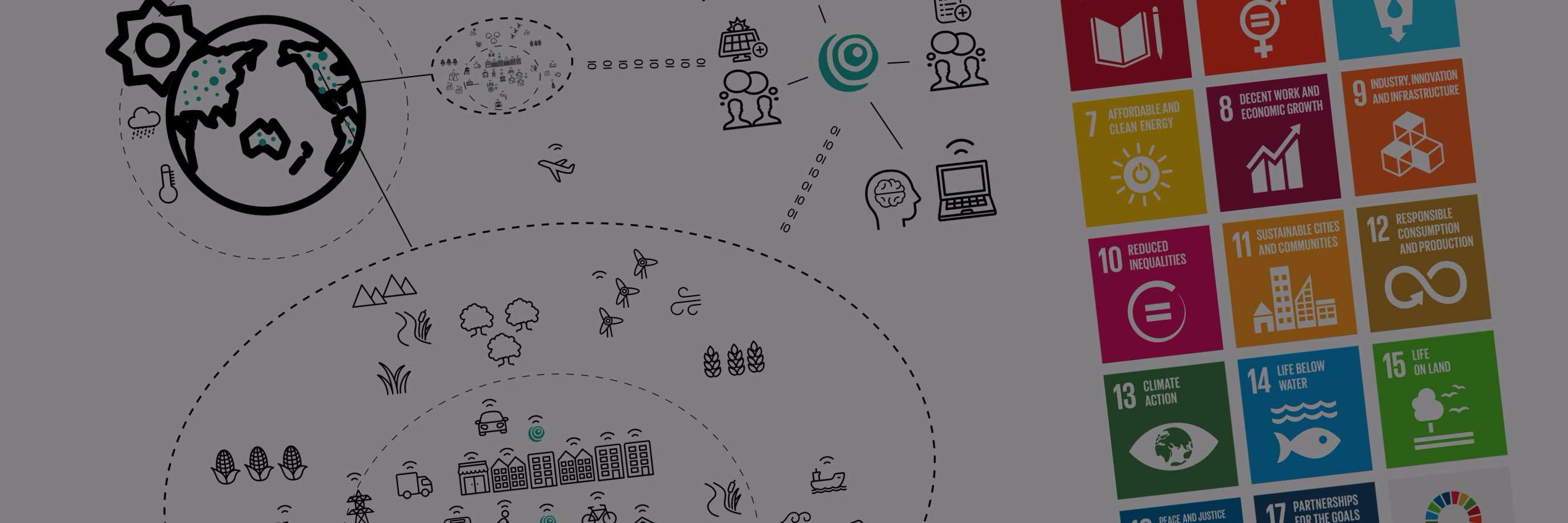
@atkinsglobal This is great news- something that @ResiliencBrokrs have been working on for global use. We already have a database of 50 out of 200 we think are needed and a planning platform @ResilienceIO into which they can be inserted for improved planning to deliver @SDGoals Happy to help!
Planning of Food-Energy-Water-Waste (FEW2) nexus for sustainable development - new paper out today on @SpringerNature https://t.co/GCzxG5EZvd Thanks to all contributors @NUSingapore@imperialcollege@ResilienceIO reliable infrastructure planning & systems level approaches