@erxclau@chrispahm Yeah spatial indices make a big difference!
It can be tricky to implement them within TurfJS itself because everyones use cases are a little different, but we do where we can :)
@erxclau@chrispahm Yeah that one should have the relevant fix 😢.
How many geoms are you processing? Generally intersect is a pretty complex operation so not surprising that it takes a while. Would be interesting to pass them through jsts and see how that goes in comparison.
@alexgleith@dinomirMT PlanetaryComputer faced similar and from what I can tell they basically ended up splitting into a MultiPolygon. So depending on your fuller stack there might be some ideas in
https://t.co/NlfhzJFxso
@jo_chemla@FSQStudio@felt@CARTO@heavy_ai@Esri If you're prepared to self-host then @TerriaJS might be an option. It supports loads of formats out of the box.
https://t.co/tZIn56qqOI
@SimonGIS The closest I've played with was some Sydney ferry data. It had passenger numbers for different trips etc. Half-started a map-based visualisation but never finished it off completely
@stevage1 Depending on requirements things like simplifying your geometries and making sure you only store the required decimal precision make a big difference.
But yep there will be times when adding to the stack using a DB or whatever becomes the only option.
@tmcw I tried out Stytch recently and found it pretty good to work with, I hadn't heard of it before but it had the features I was looking for in a hosted auth solution.
https://t.co/tbyTNiCkPu
@getbounds Fun! Does it handle reprojection on the fly, or does the COG need to be in web mercator? I tried a pure js approach a while back but reprojection was my biggest challenge
https://t.co/skEXzJJK1V
@alexgleith@petegadomski @matthmohr @STACspec@foss4gna TiTiler can give you either a WMS or WMTS (can't remember which) from a STAC reference.
Guess the difference is you need the STAC reference first, rather than pre-configuring all the layers
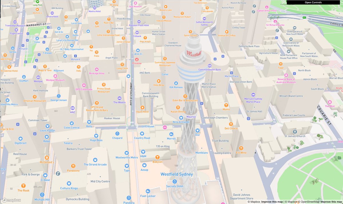
@alexgleith@stevage1 Some of the buildings even have logos on them!
And interesting & great to see the adoption of the Cesium B3DM spec, rather than another new way of distributing that style of data.
@MikeTreglia@cogeotiff@LeafletJS My general experience is that a TiTiler instance gives best performance and flexibility.
However if your COGs are web mercator and well tiled then clientside does work, eg georaster-layer-for-leaflet
https://t.co/UNPiBsDAXg
@robinlovelace @martinfleis This sounds like an interesting problem! I guess most simplification algorithms work on a per geometry basis, rather than considering surrounding geoms.
I wonder how vector tile generation handles this - @enf might have some ideas from Tippecanoe world?