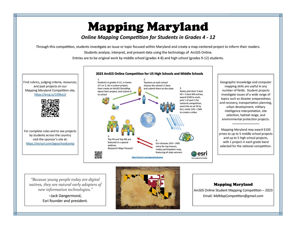
I went on Good Morning Delmarva (at 6am!) to talk about the Mapping Maryland Competition. If you know a middle/high school student or teacher interested in entering please consider registering.
More Competition details: https://t.co/IsRMsZrvAZ
https://t.co/y9AzCkRDM8
Registration is open for 2023 Mapping Maryland Competition for Middle&High School Students!
Every year MD gives out 100's of dollars to winning projects.
Know a student/teacher/club organizer/homeschooler/administrator interested in creating a #StoryMap?
https://t.co/IsRMsZrvAZ
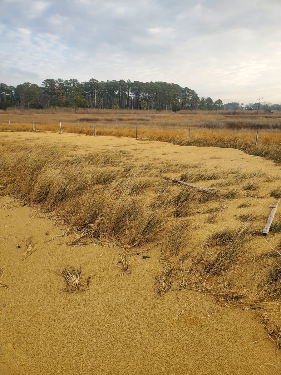
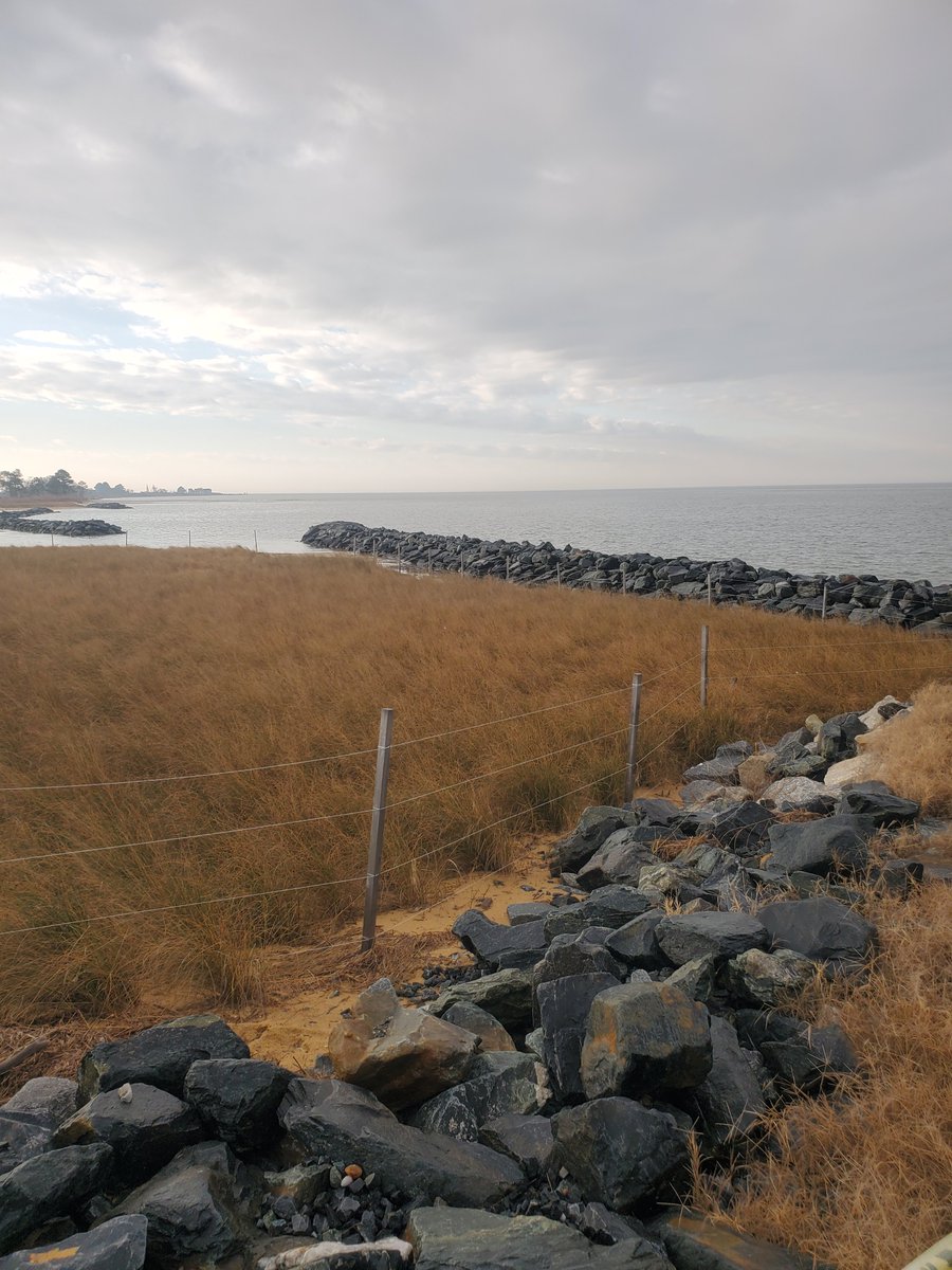
Logan and Ryan were recently asked to visit a Deal Island shoreline restoration project to provide an update after a recent storm event. Even with the strong winds, Logan was able to complete multiple drone flights to provide imagery to share with the project team.
Kent County is currently accepting applications for a GIS Specialist in the Planning, Housing, and Zoning Department.
Details and an application can be found here, https://t.co/AFqw16NXEi
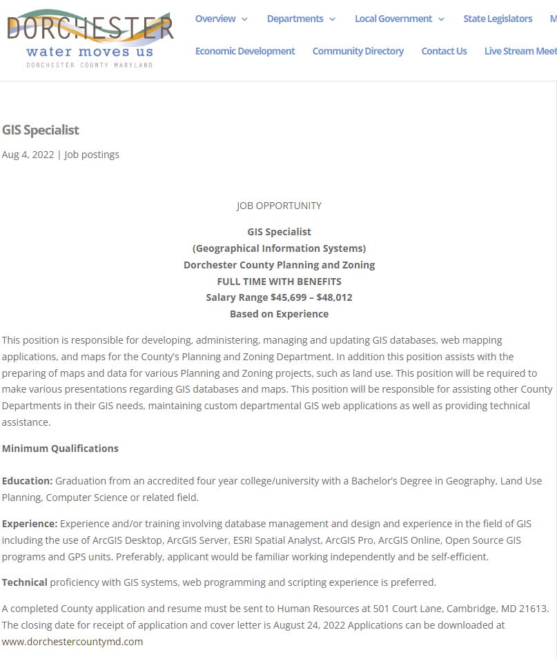
Dorchester County, MD is hiring a GIS Specialist!
A completed County application and resume must be sent to Human Resources at 501 Court Lane, Cambridge, MD 21613.
Download the application here: https://t.co/hqAMFqxWTl
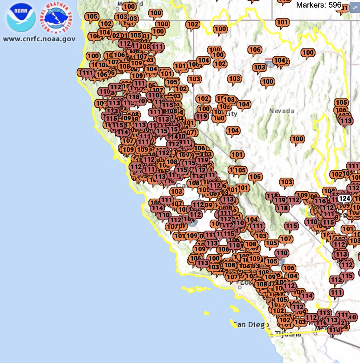
Today is the peak of California's worst September heatwave ever recorded.
The number of locations recording 110°F+ is simply extraordinary.
Many major cities have experienced their hottest day ever recorded, including San Jose and Santa Rosa. #Heatwave2022
In two weeks we will be presenting our next session in the TUgis series, this time about the DISC assessment! To register, please visit the MSGIC website or click the following link: https://t.co/KZ7PDR6ueR
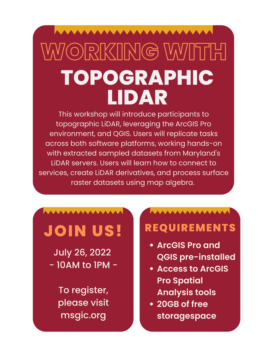
Please join us next week as we continue our TUgis training series! This session we will be discussing working with topographic LiDAR in ArcGIS Pro and QGIS. To register, please visit our website or click the link below:
https://t.co/BnmoG1WwVT
🌟 A star is born!
Behind the curtain of dust and gas in these “Cosmic Cliffs” are previously hidden baby stars, now uncovered by Webb. We know — this is a show-stopper. Just take a second to admire the Carina Nebula in all its glory: https://t.co/tlougFWg8B #UnfoldTheUniverse
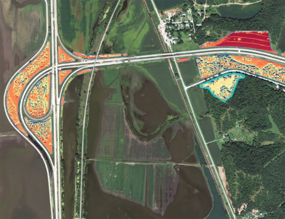
Think highways are just for driving? See how these states are creating pollinator habitats and generating green energy along their interstates. 🐝🦋🌸 https://t.co/ZzxN92fQUk #PollinatorWeek
We enjoyed hosting St Francis de Sales 7th graders for a mini drone lesson and to surprise one of them for winning the Statewide Mapping Competition!
https://t.co/UQ63c4jU1f
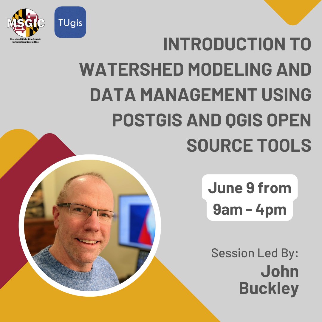
One week left to register for the Introduction to Watershed Modeling and Data Management Using PostGIS and QGIS Open Source Tools session on June 9! For session details and to register, visit the MSGIC website or use the link below:
https://t.co/ybm1w48jqi
Thank you to everyone who joined our previous TUgis training session! The next session will be in two weeks and will introduce you to open-source GIS tools and is designed for users who have an interest in watershed modeling. Click here to register: https://t.co/ybm1w3QIyK
Tomorrow MSGIC will be hosting an Advanced Power BI training by Nastya Suprunova, who is employed at ESRGC as a GIS Analyst and is involved with a variety of projects including mapping, GIS analysis, data visualization and analysis, & more.
Register here: https://t.co/AQwqXnAz4v
Interested in learning #PowerBI or looking to increase your skills?
These sessions are FREE for MSGIC members and Non-members may attend for a nominal fee that will also entitle them to a year of MSGIC membership.
Details and Registration:
https://t.co/MQqKN40PgJ