Here is the local radar indicating a couple of smoke plumes from small scale fires (radar imagery through 2:55 pm). A NW wind has the plumes blowing offshore further downstream. #nycwx#nywx#liwx
Want to send in snowfall measurements during the storm Sunday afternoon and night? Here is a great graphic explaining how to properly measure snow and properly report it to us. Taking a picture of your measurement also helps us out!
Good morning!🌞😎 Today will be sunny and warm with highs in the low to mid 70s with NYC metro reaching the low 80s. A light sea breeze development in the afternoon should cool off coastal and Eastern LI regions.
#NYwx#CTwx#NJwx
Happy Friday! Steady rain develops overnight, continuing through much of Saturday. 🌧️☔️
Save your outdoor plans for Sunday, which will be partly sunny and warmer!☀️😎
#NYwx#CTwx#NJwx
How about that wind last night?! Anyone hear it howling outside? Here's list and map the highest wind gusts reported. Can you spot the 72 mph report? That was reported on top of a building in Stony Brook at 159 feet. #NYwx#CTwx#NJwx https://t.co/imrZFAlOyH
A brief respite from the rain continues Saturday, before an area of low pressure impacts the region on Sunday.
Mainly rain is expected, though a change to wet snow is likely across portions of the interior, where a light accumulation cannot be ruled out. #NYwx#CTwx#NJwx
🌧️Four out of six of our climate sites broke records for daily maximum rainfall for 12/28!
Here are our storm total rainfall reports:
https://t.co/quVkdngUlT
#NYwx#NJwx#CTwx
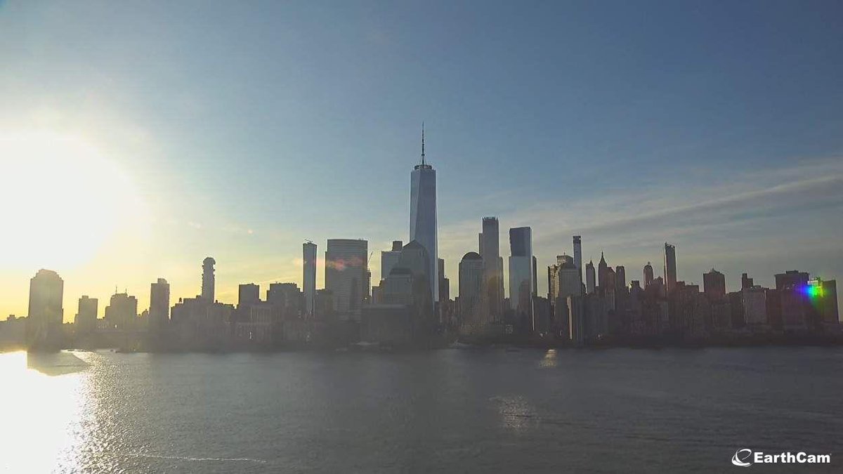
Beautiful skies this morning over NYC @EarthCam🌞! Mild temperatures today with highs in the mid 50s. Quiet weather with clouds moving in later. #NYwx#NJwx#CTwx
🌧️Rainy start for most of the region. Check out this low cloud cover in NYC @EarthCam ! Should dry up later in the afternoon with highs in the upper 50s to mid 60s. #NYwx#CTwx#NJwx
🌧️Here are a few of the storm total rainfall amounts. New daily rainfall records were set at some locations.
More rainfall totals here: https://t.co/imrZFAlOyH
#NYwx#CTwx#NJwx
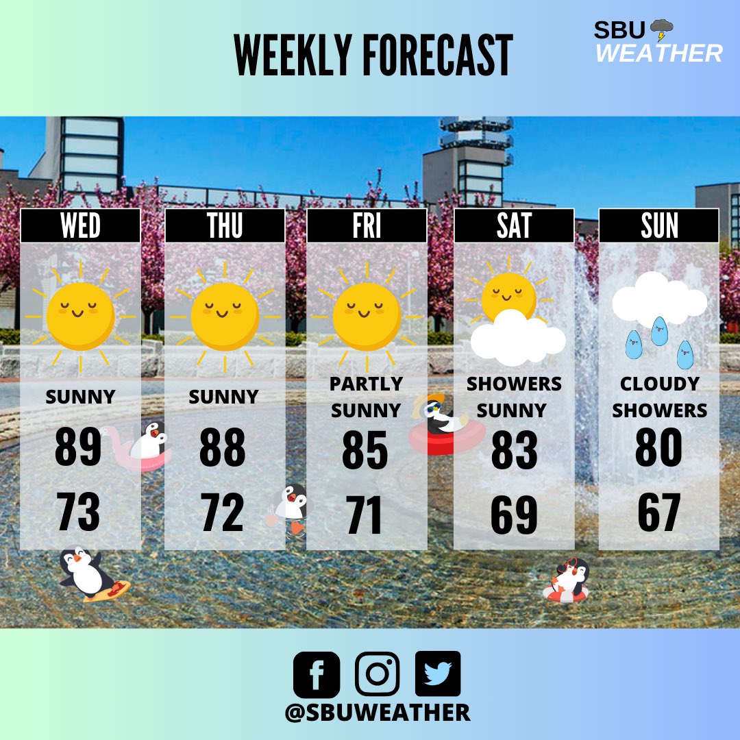
Welcome back Seawolves! We have a warm few days ahead of us! ☀️Sunny and beautiful weather to explore campus 😎! Cooler temps return Thursday with greater chance of showers on the weekend🌧️.
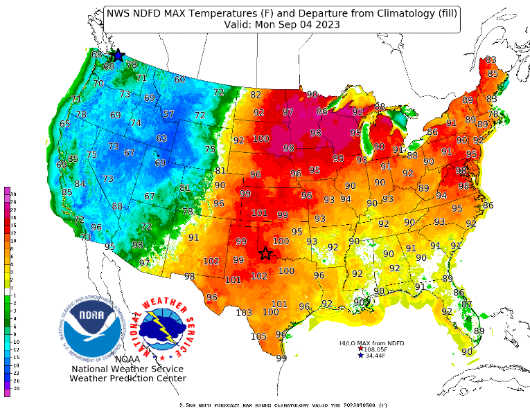
A look at the Labor Day forecast and it's going to be a hot one. Well above normal and very hot high temperatures are expected across the Eastern two-thirds of the U.S. with numerous daily record highs possible from the Upper Mississippi Valley to the Mid-Atlantic. Stay cool!
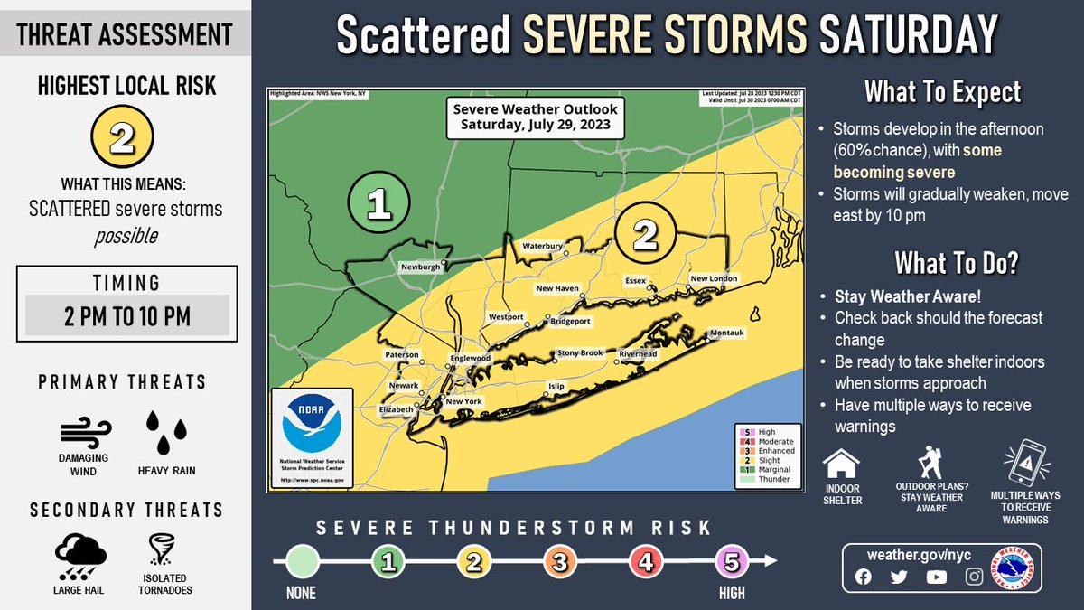
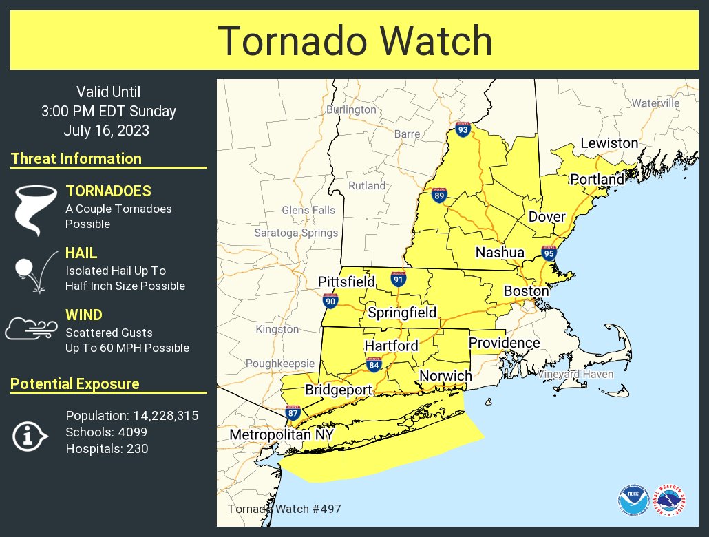
⛈️Thunderstorms are likely for most of the region tomorrow afternoon and into the evening. Some of the storms may become severe with damaging winds and heavy rain. #NYwx#NJwx#CTwx
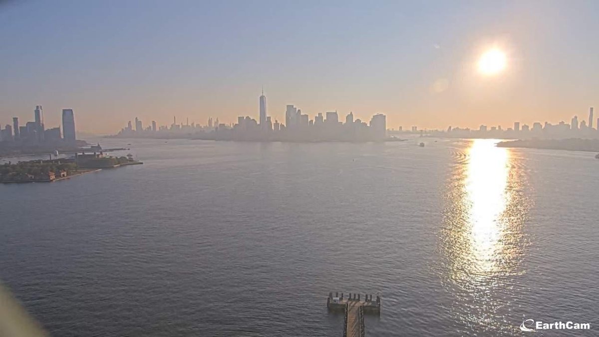
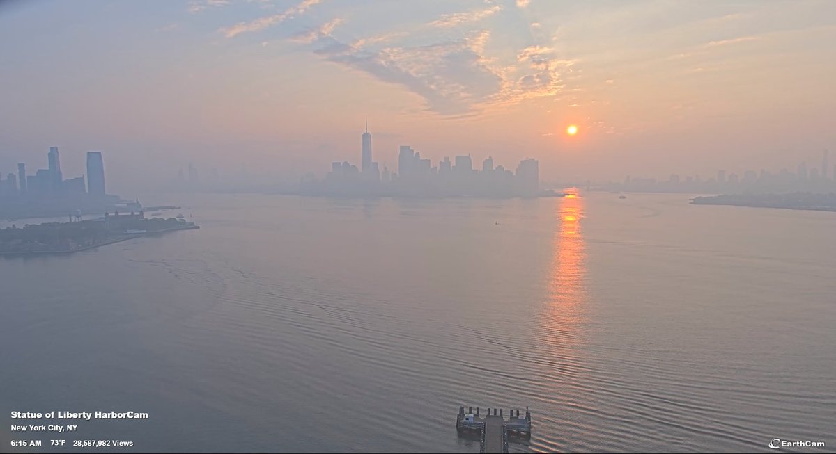
Good morning! Despite some patchy fog and clouds this morning, today should be a mostly clear day with highs mainly in the 80s. Enjoy the dry conditions today because showers and storms likely return for Friday.
Thanks for the view @Earthcam !
#NYwx#CTwx#NJwx